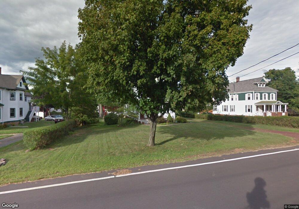
309 Maple Ave Branchburg, NJ 08853
Branchburg Township NeighborhoodEstimated Value: $608,342 - $727,000
--
Bed
--
Bath
2,600
Sq Ft
$255/Sq Ft
Est. Value
About This Home
This home is located at 309 Maple Ave, Branchburg, NJ 08853 and is currently estimated at $662,836, approximately $254 per square foot. 309 Maple Ave is a home located in Somerset County with nearby schools including Whiton Elementary School, Stony Brook School, and Branchburg Central Middle School.
Ownership History
Date
Name
Owned For
Owner Type
Purchase Details
Closed on
Dec 23, 2023
Current Estimated Value
Home Financials for this Owner
Home Financials are based on the most recent Mortgage that was taken out on this home.
Original Mortgage
$445,000
Outstanding Balance
$430,255
Interest Rate
3.66%
Mortgage Type
Seller Take Back
Estimated Equity
$232,581
Purchase Details
Closed on
Nov 18, 2016
Purchase Details
Closed on
May 16, 1997
Sold by
Sherman William
Home Financials for this Owner
Home Financials are based on the most recent Mortgage that was taken out on this home.
Original Mortgage
$210,000
Interest Rate
8.09%
Create a Home Valuation Report for This Property
The Home Valuation Report is an in-depth analysis detailing your home's value as well as a comparison with similar homes in the area
Home Values in the Area
Average Home Value in this Area
Purchase History
| Date | Buyer | Sale Price | Title Company |
|---|---|---|---|
| -- | $524,000 | None Listed On Document | |
| -- | $524,000 | None Listed On Document | |
| -- | -- | None Available | |
| -- | $263,000 | -- |
Source: Public Records
Mortgage History
| Date | Status | Borrower | Loan Amount |
|---|---|---|---|
| Open | -- | $445,000 | |
| Closed | -- | $445,000 | |
| Previous Owner | -- | $210,000 |
Source: Public Records
Tax History Compared to Growth
Tax History
| Year | Tax Paid | Tax Assessment Tax Assessment Total Assessment is a certain percentage of the fair market value that is determined by local assessors to be the total taxable value of land and additions on the property. | Land | Improvement |
|---|---|---|---|---|
| 2025 | $9,740 | $578,500 | $128,600 | $449,900 |
| 2024 | $9,740 | $539,900 | $128,600 | $411,300 |
| 2023 | $9,400 | $502,400 | $128,600 | $373,800 |
| 2022 | $9,341 | $474,400 | $128,600 | $345,800 |
| 2021 | $9,528 | $450,700 | $128,600 | $322,100 |
| 2020 | $9,303 | $434,100 | $128,600 | $305,500 |
| 2019 | $9,297 | $431,400 | $128,600 | $302,800 |
| 2018 | $9,294 | $430,100 | $128,500 | $301,600 |
| 2017 | $9,326 | $428,600 | $125,500 | $303,100 |
| 2016 | $9,353 | $427,100 | $125,500 | $301,600 |
| 2015 | $9,409 | $430,400 | $124,500 | $305,900 |
| 2014 | $9,297 | $430,400 | $124,500 | $305,900 |
Source: Public Records
Map
Nearby Homes
- 407 Olive St
- 752 Amwell Rd
- 34 Lehigh Rd
- 718 Mill Ln
- 91 Briar Way
- 838 Riverside Dr
- 64 Murray Dr
- 53 E Mountain Rd
- 499 Barton Ln
- 0 Amwell Rd
- 247 Summer Rd
- 581 Montgomery Rd
- 1053 Hillcrest Dr
- 372 Zion Rd
- 373 Zion Rd
- 126 Carriage Hill Way
- 300 E Mountain Rd
- 816 Rt 202
- 200 Milkweed Ct Unit 200
- 101 Hodge Rd