309 Mccowan Rd Forsyth, GA 31029
Estimated Value: $247,889 - $377,000
--
Bed
3
Baths
1,792
Sq Ft
$171/Sq Ft
Est. Value
About This Home
This home is located at 309 Mccowan Rd, Forsyth, GA 31029 and is currently estimated at $306,972, approximately $171 per square foot. 309 Mccowan Rd is a home located in Monroe County with nearby schools including T.G. Scott Elementary School, Mary Persons High School, and Lighthouse Academy.
Ownership History
Date
Name
Owned For
Owner Type
Purchase Details
Closed on
Jul 25, 2008
Sold by
Vickery Brian N
Bought by
Mott Larry R and Mott Inge R
Current Estimated Value
Purchase Details
Closed on
Nov 12, 2004
Sold by
Pierce Jason M
Bought by
Vickery Brian N and Vickery Leigh P
Purchase Details
Closed on
May 23, 2001
Sold by
Payne D Craig
Bought by
Pierce Jason M
Purchase Details
Closed on
Mar 5, 1999
Sold by
Regional Properties Inc
Bought by
Payne D Craig
Create a Home Valuation Report for This Property
The Home Valuation Report is an in-depth analysis detailing your home's value as well as a comparison with similar homes in the area
Home Values in the Area
Average Home Value in this Area
Purchase History
| Date | Buyer | Sale Price | Title Company |
|---|---|---|---|
| Mott Larry R | $185,500 | -- | |
| Vickery Brian N | $159,500 | -- | |
| Pierce Jason M | $139,000 | -- | |
| Payne D Craig | $17,900 | -- |
Source: Public Records
Tax History Compared to Growth
Tax History
| Year | Tax Paid | Tax Assessment Tax Assessment Total Assessment is a certain percentage of the fair market value that is determined by local assessors to be the total taxable value of land and additions on the property. | Land | Improvement |
|---|---|---|---|---|
| 2024 | $1,675 | $71,120 | $9,800 | $61,320 |
| 2023 | $1,597 | $60,880 | $9,800 | $51,080 |
| 2022 | $1,323 | $60,880 | $9,800 | $51,080 |
| 2021 | $1,370 | $60,880 | $9,800 | $51,080 |
| 2020 | $1,404 | $60,880 | $9,800 | $51,080 |
| 2019 | $1,416 | $60,880 | $9,800 | $51,080 |
| 2018 | $1,420 | $60,880 | $9,800 | $51,080 |
| 2017 | $1,769 | $60,880 | $9,800 | $51,080 |
| 2016 | $1,351 | $60,880 | $9,800 | $51,080 |
| 2015 | $1,281 | $60,880 | $9,800 | $51,080 |
| 2014 | $1,236 | $60,880 | $9,800 | $51,080 |
Source: Public Records
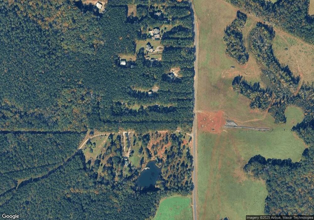
Map
Nearby Homes
- 0 Montpelier Springs Rd Unit 13 M162038
- 0 Montpelier Springs Rd Unit 10 M162036
- Lot 27-A-1 Creekside Trail
- Lot 26-A-1 Creekside Trail
- Lot 26-A-2 Creekside Trail
- 98 Adam Dr
- 88 Adam Dr
- Lot 15-A-1 Creekside Ln
- 106 Creekside Ct
- 34 Kyndall Ln
- Lot 15-A-2 Creekside Ln
- 14 Creekside Ct
- 14 Creekside Ct
- 122 Laurel Ridge
- LOT 13 Creekside Ln
- 1395 Josey Rd
- 22 Rabon Dr
- 656 Dolly Dr
- 1550 Charlie Benson Rd
- TRACTS 1 & 5 Old Rumble Rd
- 295 Mccowan Rd
- 277 Mccowan Rd
- 261 Mccowan Rd
- 345 Mccowan Rd
- 249 Mccowan Rd
- 229 Mccowan Rd
- 221 Mccowan Rd
- 217 Mccowan Rd
- 196 Mccowan Rd
- 339 Mccowan Rd
- 2055 Montpelier Rd
- 347 Mccowan Rd
- 2111 Montpelier Rd
- 2125 Montpelier Rd
- 2227 Montpelier Rd
- 2305 Montpelier Rd
- 2054 Montpelier Rd
- 2088 Montpelier Rd
- 2030 Montpelier Rd
- 1972 Montpelier Rd