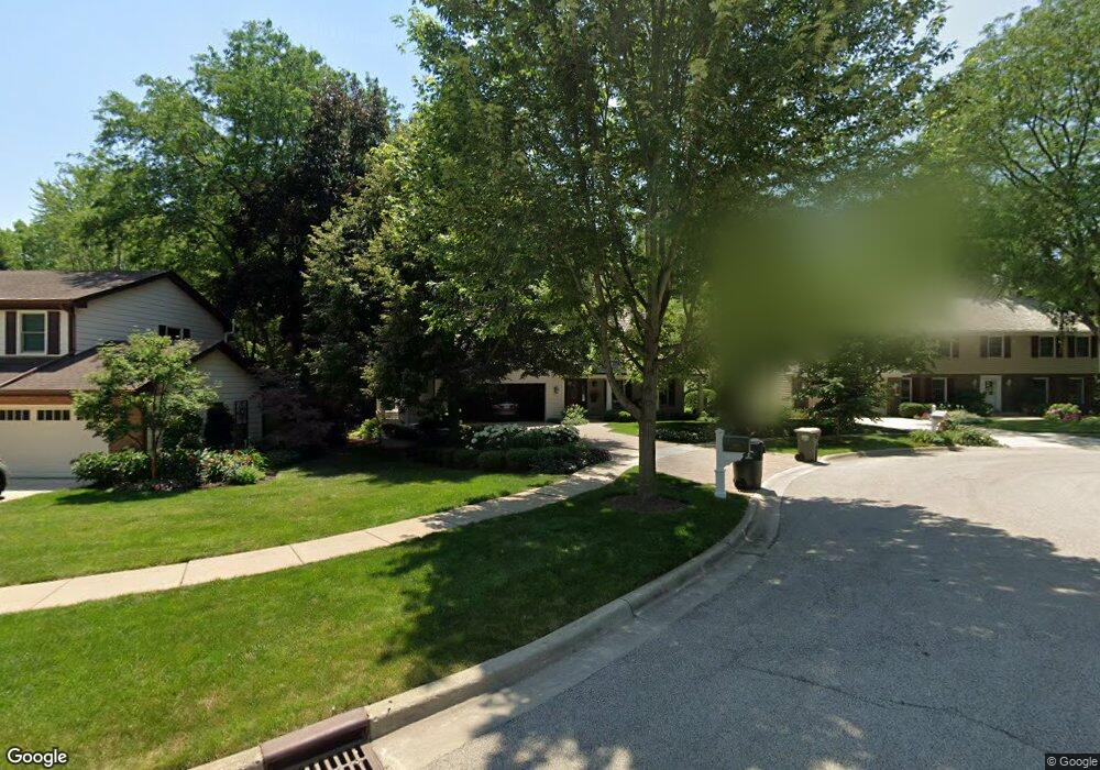
309 Minear Dr Libertyville, IL 60048
Estimated Value: $778,663 - $949,000
--
Bed
3
Baths
2,633
Sq Ft
$326/Sq Ft
Est. Value
About This Home
This home is located at 309 Minear Dr, Libertyville, IL 60048 and is currently estimated at $857,666, approximately $325 per square foot. 309 Minear Dr is a home located in Lake County with nearby schools including Adler Park School, Highland Middle School, and Libertyville High School.
Ownership History
Date
Name
Owned For
Owner Type
Purchase Details
Closed on
Aug 16, 2018
Sold by
Cacich Anthony N and Cacich Karen A
Bought by
Cacich Anthony N and Anthony N Cacich Trust
Current Estimated Value
Purchase Details
Closed on
Sep 18, 1998
Sold by
Home State Bank/National Assn
Bought by
Cacich Anthony N and Cacich Karen A
Home Financials for this Owner
Home Financials are based on the most recent Mortgage that was taken out on this home.
Original Mortgage
$340,000
Outstanding Balance
$73,070
Interest Rate
6.97%
Estimated Equity
$784,596
Create a Home Valuation Report for This Property
The Home Valuation Report is an in-depth analysis detailing your home's value as well as a comparison with similar homes in the area
Home Values in the Area
Average Home Value in this Area
Purchase History
| Date | Buyer | Sale Price | Title Company |
|---|---|---|---|
| Cacich Anthony N | -- | None Available | |
| Cacich Anthony N | $425,000 | Chicago Title Insurance Co |
Source: Public Records
Mortgage History
| Date | Status | Borrower | Loan Amount |
|---|---|---|---|
| Open | Cacich Anthony N | $340,000 |
Source: Public Records
Tax History Compared to Growth
Tax History
| Year | Tax Paid | Tax Assessment Tax Assessment Total Assessment is a certain percentage of the fair market value that is determined by local assessors to be the total taxable value of land and additions on the property. | Land | Improvement |
|---|---|---|---|---|
| 2024 | $16,519 | $231,058 | $62,088 | $168,970 |
| 2023 | $15,092 | $213,114 | $57,266 | $155,848 |
| 2022 | $15,092 | $194,699 | $55,042 | $139,657 |
| 2021 | $14,531 | $190,508 | $53,857 | $136,651 |
| 2020 | $14,941 | $208,117 | $58,835 | $149,282 |
| 2019 | $14,577 | $206,139 | $58,276 | $147,863 |
| 2018 | $13,396 | $196,706 | $68,464 | $128,242 |
| 2017 | $13,211 | $190,496 | $66,303 | $124,193 |
| 2016 | $12,777 | $172,950 | $62,864 | $110,086 |
| 2015 | $12,666 | $168,109 | $58,757 | $109,352 |
| 2014 | $11,568 | $152,443 | $55,208 | $97,235 |
| 2012 | $10,811 | $146,502 | $55,688 | $90,814 |
Source: Public Records
Map
Nearby Homes
- 1211 Parliament Ct
- 922 N Milwaukee Ave Unit A
- 224 Newberry Ave
- 204 W Ellis Ave
- 208 W Ellis Ave
- 212 W Ellis Ave
- 217 E Church St
- 31132-31140 N Milwaukee Ave
- 619 Parkside Ct
- 616 Parkside Ct
- 662 Parkside Ct
- 505 Lange Ct
- 694 Parkside Ct
- 212 Elm Ct
- 420 W Cook Ave
- 601 Broadway St
- 16108 W Des Plaines Dr
- 121 4th St
- 16051 W Des Plaines Dr
- 112 3rd St
- 315 Minear Dr
- 303 Minear Dr
- 240 E Ellis Ave
- 321 Minear Dr
- 236 E Ellis Ave
- 1011 Avalon Ln
- 314 Minear Dr
- 1021 Avalon Ln
- 232 E Ellis Ave
- 1007 Sandstone Dr
- 1015 Sandstone Dr
- 320 Minear Dr
- 1105 Avalon Ln
- 1110 Avalon Ln
- 245 E Ellis Ave
- 230 E Ellis Ave
- 241 E Ellis Ave
- 1204 Parliament Ct
- 249 E Ellis Ave
- 237 E Ellis Ave