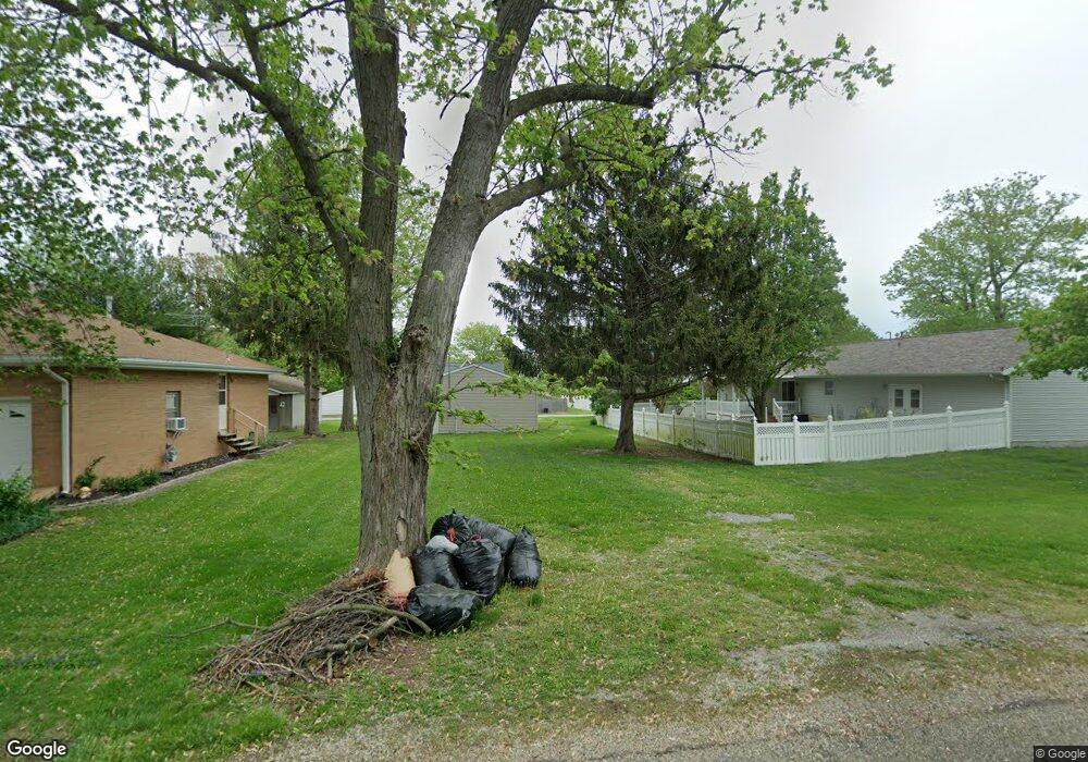
309 N Scott St Mount Pulaski, IL 62548
Estimated Value: $71,542 - $136,000
4
Beds
--
Bath
--
Sq Ft
7,405
Sq Ft Lot
About This Home
This home is located at 309 N Scott St, Mount Pulaski, IL 62548 and is currently estimated at $105,886. 309 N Scott St is a home located in Logan County with nearby schools including Mount Pulaski Elementary School, Mount Pulaski High School, and Zion Lutheran School.
Ownership History
Date
Name
Owned For
Owner Type
Purchase Details
Closed on
Aug 15, 2018
Sold by
Turner Carol A
Bought by
Turner Trust
Current Estimated Value
Purchase Details
Closed on
Oct 21, 2014
Sold by
Lynch Gerald L and Lynch Cheryl A
Bought by
Turner Paul L and Turner Carol A
Purchase Details
Closed on
Oct 27, 2011
Sold by
Illinois National Bank Successor To Firs
Bought by
Lynch Gerald L and Lynch Cheryl A
Purchase Details
Closed on
Jan 14, 2011
Sold by
Nichols, Sheriff Steven
Bought by
Illinois National Bank
Create a Home Valuation Report for This Property
The Home Valuation Report is an in-depth analysis detailing your home's value as well as a comparison with similar homes in the area
Purchase History
| Date | Buyer | Sale Price | Title Company |
|---|---|---|---|
| Turner Trust | -- | None Available | |
| Turner Paul L | $18,500 | -- | |
| Lynch Gerald L | -- | -- | |
| Illinois National Bank | $60,000 | -- |
Source: Public Records
Tax History
| Year | Tax Paid | Tax Assessment Tax Assessment Total Assessment is a certain percentage of the fair market value that is determined by local assessors to be the total taxable value of land and additions on the property. | Land | Improvement |
|---|---|---|---|---|
| 2024 | $773 | $9,530 | $4,270 | $5,260 |
| 2023 | $727 | $8,660 | $3,880 | $4,780 |
| 2022 | $687 | $8,020 | $3,590 | $4,430 |
| 2021 | $684 | $7,880 | $3,530 | $4,350 |
| 2020 | $702 | $7,880 | $3,530 | $4,350 |
| 2019 | $710 | $7,880 | $3,530 | $4,350 |
| 2018 | $668 | $7,720 | $3,460 | $4,260 |
| 2017 | $656 | $7,570 | $3,390 | $4,180 |
| 2016 | $643 | $7,420 | $3,320 | $4,100 |
| 2015 | -- | $7,290 | $3,170 | $4,120 |
| 2014 | -- | $7,290 | $3,170 | $4,120 |
| 2013 | -- | $6,580 | $2,860 | $3,720 |
| 2012 | -- | $6,850 | $2,980 | $3,870 |
Source: Public Records
Map
Nearby Homes
- 320 E Jasper St
- 525 N Vine St
- 621 N Vine St
- 506 N Lafayette St
- 202 S Vine St
- 1247 480th St
- County Rd 600 N
- 194 Timber Ln
- 0 US Bypass 20 Unit 202507125
- Lot # 5 Hubert St
- 210 N Kiick St
- 1356 1250th Ave
- 1022 Sheldon St
- 210 S Beason Rd
- 152 Debruler Dr
- 0 Prairie Pointe Dr Unit RMACA1027909
- 0 Prairie Pointe Dr Unit RMACA1028503
- 18 Willow Ln
- 929 Decatur St
- 4 Cottonwood Ln
- 313 N Scott St
- 317 N Scott St
- 505 E Dekalb St
- 310 N Belmont St
- 312 N Belmont St
- 519 E Dekalb St
- 502 E Harry St
- 320 N Scott St
- 318 N Belmont St
- 308 N Scott St
- 421 E Dekalb St
- 219 N Scott St
- 505 E Harry St
- 416 E Harry St
- 523 E Harry St
- 503 N Belmont St
- 507 N Belmont St
- 303 N Belmont St
- 406 E Harry St
- 605 E Dekalb St
Your Personal Tour Guide
Ask me questions while you tour the home.