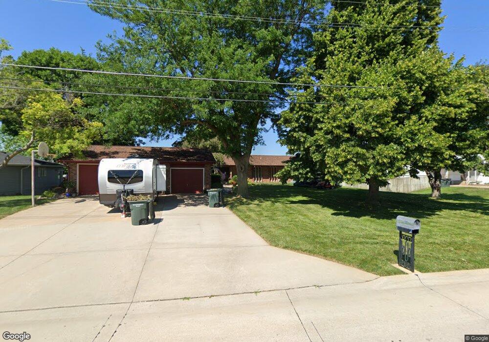
309 N Shore Dr Hastings, NE 68901
Estimated Value: $409,000 - $463,000
3
Beds
4
Baths
2,216
Sq Ft
$197/Sq Ft
Est. Value
About This Home
This home is located at 309 N Shore Dr, Hastings, NE 68901 and is currently estimated at $436,447, approximately $196 per square foot. 309 N Shore Dr is a home located in Adams County with nearby schools including Hastings Senior High School and St. Cecilia High School.
Ownership History
Date
Name
Owned For
Owner Type
Purchase Details
Closed on
Sep 10, 2025
Sold by
Peck Jeffrey and Peck Bridget
Bought by
Balderston Family Trust and Balderston
Current Estimated Value
Purchase Details
Closed on
Aug 29, 2025
Sold by
Peck Kimberly and Balderston Shane
Bought by
Balderston Family Trust and Balderston
Purchase Details
Closed on
Aug 28, 2025
Sold by
Coblentz Kristine and Coblentz David
Bought by
Balderston Family Trust and Balderston
Purchase Details
Closed on
Nov 25, 2020
Sold by
Peck Eugene W
Bought by
Peck Eugene W and Peck Kimberly
Purchase Details
Closed on
Nov 23, 2020
Sold by
Peek Eugene W
Bought by
Peek Eugene W
Create a Home Valuation Report for This Property
The Home Valuation Report is an in-depth analysis detailing your home's value as well as a comparison with similar homes in the area
Home Values in the Area
Average Home Value in this Area
Purchase History
| Date | Buyer | Sale Price | Title Company |
|---|---|---|---|
| Balderston Family Trust | $152,000 | Prairie Title | |
| Balderston Family Trust | -- | Prairie Title | |
| Balderston Family Trust | $152,000 | Prairie Title | |
| Peck Eugene W | -- | None Listed On Document | |
| Peek Eugene W | -- | None Available |
Source: Public Records
Tax History Compared to Growth
Tax History
| Year | Tax Paid | Tax Assessment Tax Assessment Total Assessment is a certain percentage of the fair market value that is determined by local assessors to be the total taxable value of land and additions on the property. | Land | Improvement |
|---|---|---|---|---|
| 2024 | $5,998 | $373,505 | $74,175 | $299,330 |
| 2023 | $7,105 | $343,714 | $74,175 | $269,539 |
| 2022 | $7,747 | $343,714 | $74,175 | $269,539 |
| 2021 | $5,642 | $256,997 | $59,340 | $197,657 |
| 2020 | $5,340 | $247,585 | $59,340 | $188,245 |
| 2019 | $5,279 | $247,585 | $59,340 | $188,245 |
| 2018 | $4,939 | $229,785 | $41,540 | $188,245 |
| 2017 | $4,782 | $222,545 | $0 | $0 |
| 2016 | $4,941 | $229,645 | $41,540 | $188,105 |
| 2011 | -- | $213,180 | $37,580 | $175,600 |
Source: Public Records
Map
Nearby Homes
- 602 Dockside Cove
- 2907 Lakeview Cove
- 2900 Wendell Dr
- 3132 Lake Park Ln
- 3202 Lake Park Ln
- E 33rd St
- 3107 W Laux Dr
- 3109 W Laux Dr
- 3013 W Laux Dr
- 2608 Market Ln
- 2604 Market Ln
- 3117 Frahm Ln
- 1106 Lakeridge Dr
- 3008 E Laux Dr
- 3610 Wendell Dr
- XXX E Osborne Dr
- 3100 E Laux Dr
- 3221 Frahm Ln
- 3211 E Laux Dr
- 1402 N Saint Joseph Ave