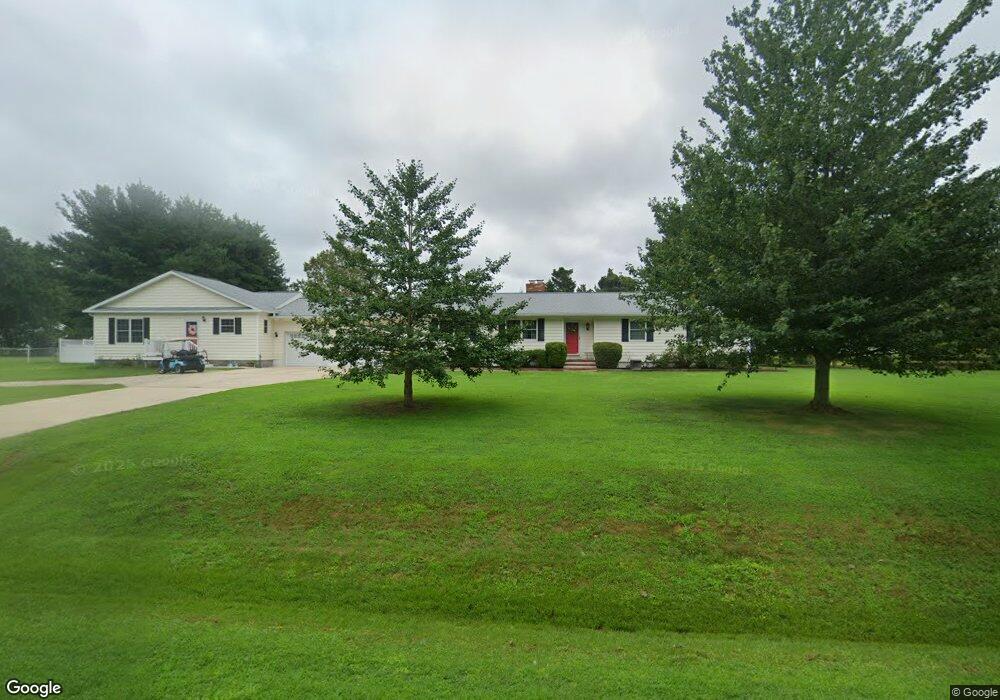
309 Oxbow Dr Stevensville, MD 21666
Estimated Value: $534,000 - $598,000
3
Beds
2
Baths
1,680
Sq Ft
$333/Sq Ft
Est. Value
About This Home
This home is located at 309 Oxbow Dr, Stevensville, MD 21666 and is currently estimated at $560,190, approximately $333 per square foot. 309 Oxbow Dr is a home located in Queen Anne's County with nearby schools including Matapeake Elementary School, Matapeake Middle School, and Kent Island High School.
Ownership History
Date
Name
Owned For
Owner Type
Purchase Details
Closed on
Jun 13, 2024
Sold by
Johnson Tina M and Damron Tina M
Bought by
James Amanda Nicole
Current Estimated Value
Purchase Details
Closed on
Aug 13, 2004
Sold by
Gunther William P
Bought by
Damron Christopher E and Johnson Tina M
Purchase Details
Closed on
Mar 7, 2003
Sold by
Gunther William P and Gunther William P Lisa L
Bought by
Gunther William P
Purchase Details
Closed on
Jun 15, 1987
Sold by
Davis Donald E
Bought by
Gunther William P and Gunther Lisa L
Home Financials for this Owner
Home Financials are based on the most recent Mortgage that was taken out on this home.
Original Mortgage
$82,000
Interest Rate
10.66%
Create a Home Valuation Report for This Property
The Home Valuation Report is an in-depth analysis detailing your home's value as well as a comparison with similar homes in the area
Purchase History
| Date | Buyer | Sale Price | Title Company |
|---|---|---|---|
| James Amanda Nicole | -- | None Listed On Document | |
| Damron Christopher E | $320,000 | -- | |
| Gunther William P | -- | -- | |
| Gunther William P | $125,000 | -- |
Source: Public Records
Mortgage History
| Date | Status | Borrower | Loan Amount |
|---|---|---|---|
| Previous Owner | Gunther William P | $82,000 | |
| Closed | Gunther William P | -- |
Source: Public Records
Tax History
| Year | Tax Paid | Tax Assessment Tax Assessment Total Assessment is a certain percentage of the fair market value that is determined by local assessors to be the total taxable value of land and additions on the property. | Land | Improvement |
|---|---|---|---|---|
| 2025 | $3,172 | $357,867 | $0 | $0 |
| 2024 | $3,009 | $330,333 | $0 | $0 |
| 2023 | $2,852 | $302,800 | $153,800 | $149,000 |
| 2022 | $2,874 | $298,700 | $0 | $0 |
| 2021 | $2,846 | $294,600 | $0 | $0 |
| 2020 | $2,846 | $290,500 | $149,800 | $140,700 |
| 2019 | $2,737 | $279,100 | $0 | $0 |
| 2018 | $2,628 | $267,700 | $0 | $0 |
| 2017 | $2,518 | $256,300 | $0 | $0 |
| 2016 | -- | $256,300 | $0 | $0 |
| 2015 | $1,209 | $256,300 | $0 | $0 |
| 2014 | $1,209 | $261,300 | $0 | $0 |
Source: Public Records
Map
Nearby Homes
- 312 S Lake Dr
- 208 Tower Dr
- 101 Beachside Dr
- 145 N Lake Dr
- 114 N Lake Dr
- 118 N Lake Dr
- Lot 1 - E/Kent Point Romancoke
- 0 Ackerman Dr
- Lot 8 Ackerman Dr
- 217 Ackerman Dr
- 200 Mallard Cove Ln
- 306 N Lake Rd
- 102 Golf Ct
- 137 Tanners Point Dr
- 610 Elm St
- 414 Bay Dr
- 224 Long Point Rd
- 208 Long Point Rd
- 109 Carroll Rd
- 205 Lighthouse View Dr