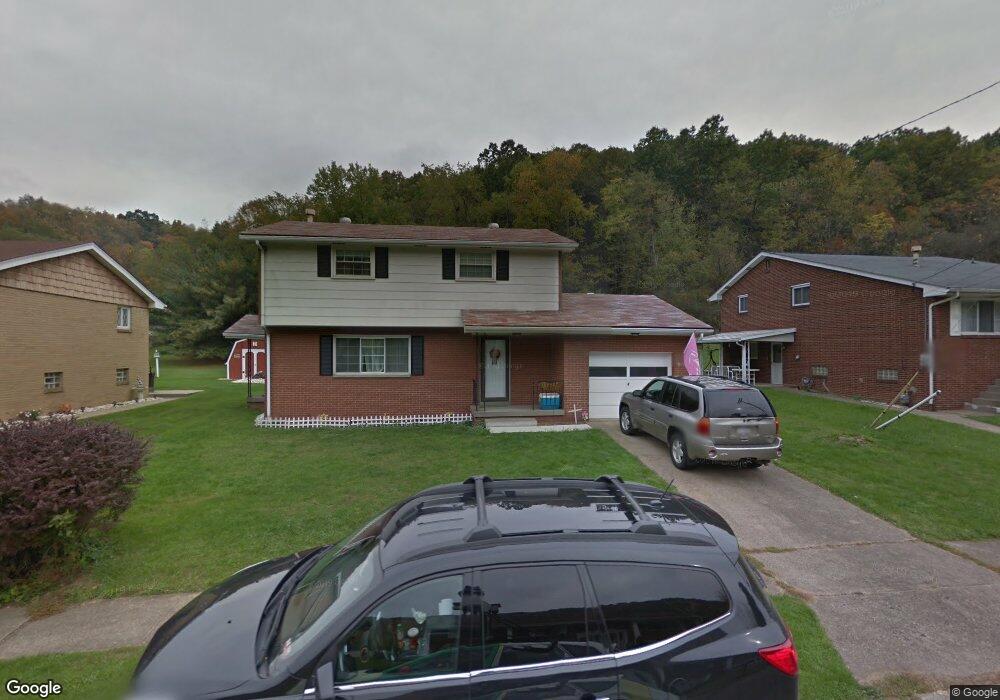
309 Patricia Ave Weirton, WV 26062
Estimated Value: $175,000 - $183,000
4
Beds
2
Baths
1,560
Sq Ft
$115/Sq Ft
Est. Value
About This Home
This home is located at 309 Patricia Ave, Weirton, WV 26062 and is currently estimated at $179,968, approximately $115 per square foot. 309 Patricia Ave is a home located in Hancock County with nearby schools including St. Joseph the Worker Grade School and St. Paul School.
Ownership History
Date
Name
Owned For
Owner Type
Purchase Details
Closed on
Jan 10, 2012
Sold by
Wieloh Ricahrd A and Gaudio Louise A
Bought by
Edmiston Joseph R and Edmiston Kimbelry Anne
Current Estimated Value
Home Financials for this Owner
Home Financials are based on the most recent Mortgage that was taken out on this home.
Original Mortgage
$71,811
Outstanding Balance
$49,279
Interest Rate
4%
Mortgage Type
FHA
Estimated Equity
$130,689
Create a Home Valuation Report for This Property
The Home Valuation Report is an in-depth analysis detailing your home's value as well as a comparison with similar homes in the area
Home Values in the Area
Average Home Value in this Area
Purchase History
| Date | Buyer | Sale Price | Title Company |
|---|---|---|---|
| Edmiston Joseph R | $79,000 | None Available |
Source: Public Records
Mortgage History
| Date | Status | Borrower | Loan Amount |
|---|---|---|---|
| Open | Edmiston Joseph R | $71,811 |
Source: Public Records
Tax History Compared to Growth
Tax History
| Year | Tax Paid | Tax Assessment Tax Assessment Total Assessment is a certain percentage of the fair market value that is determined by local assessors to be the total taxable value of land and additions on the property. | Land | Improvement |
|---|---|---|---|---|
| 2024 | $844 | $64,260 | $10,440 | $53,820 |
| 2023 | $820 | $64,260 | $10,440 | $53,820 |
| 2022 | $834 | $64,260 | $10,440 | $53,820 |
| 2021 | $830 | $63,720 | $10,440 | $53,280 |
| 2020 | $782 | $60,300 | $9,240 | $51,060 |
| 2019 | $781 | $59,340 | $8,640 | $50,700 |
| 2018 | $758 | $57,300 | $8,040 | $49,260 |
| 2017 | $749 | $56,100 | $8,040 | $48,060 |
| 2016 | $741 | $55,560 | $7,500 | $48,060 |
| 2015 | $371 | $53,880 | $7,500 | $46,380 |
| 2014 | $371 | $47,940 | $7,500 | $40,440 |
Source: Public Records
Map
Nearby Homes
- 214 Basil Dr
- 1384 Kings Creek Rd
- 268 Kingsview Dr
- 131 Theresa Dr
- 0 N 12th St Unit 5150084
- 445 N 20th St
- 0 Locust St
- 51 Hudson Hill Rd
- 0 Surrounding Rose Garden Unit 5114539
- 163 N 15th St
- 146 N 15th St
- 330 Fairview St
- 336 N 10th St
- 122 Mason St
- 0 Ohio River Blvd Unit 5057024
- 0 Kings Creek Rd Unit 5153364
- 0 Owings St
- VL Eagle Mountain Estate
- 131 Owings St
- 112 Hardy St
- 319 Patricia Ave
- 295 Patricia Ave
- 333 Patricia Ave
- 285 Patricia Ave
- 314 Patricia Ave
- 292 Patricia Ave
- 345 Patricia Ave
- 280 Patricia Ave
- 273 Patricia Ave
- 1739 Kings Creek Rd
- 357 Patricia Ave
- 1727 Kings Creek Rd
- 1765 Kings Creek Rd
- 268 Patricia Ave
- 52 Basil Dr
- 259 Patricia Ave
- 68 Basil Dr
- 256 Patricia Ave
- 367 Patricia Ave
- 1693 Kings Creek Rd