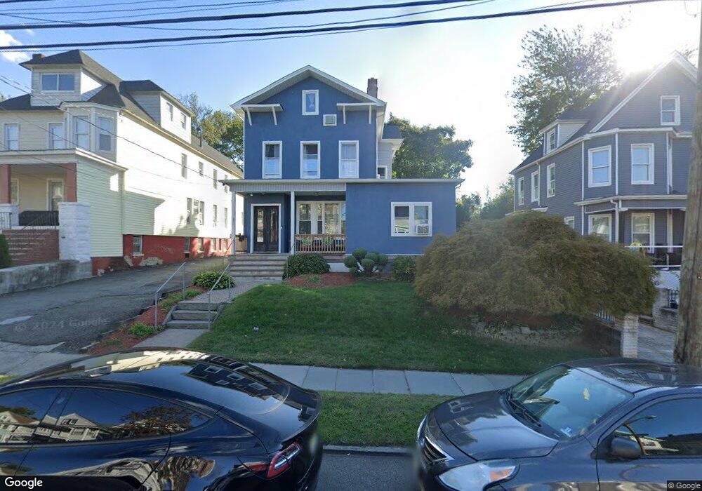
309 Paulison Ave Passaic, NJ 07055
Estimated Value: $607,000 - $771,000
Studio
--
Bath
3,093
Sq Ft
$212/Sq Ft
Est. Value
About This Home
This home is located at 309 Paulison Ave, Passaic, NJ 07055 and is currently estimated at $656,832, approximately $212 per square foot. 309 Paulison Ave is a home located in Passaic County with nearby schools including Passaic High School # 12 and Passaic Arts and Science Charter School.
Ownership History
Date
Name
Owned For
Owner Type
Purchase Details
Closed on
Nov 18, 2003
Sold by
Dedios Angel
Bought by
Omana Monje Jose and Omana Maria
Current Estimated Value
Home Financials for this Owner
Home Financials are based on the most recent Mortgage that was taken out on this home.
Original Mortgage
$324,900
Interest Rate
5.88%
Mortgage Type
FHA
Create a Home Valuation Report for This Property
The Home Valuation Report is an in-depth analysis detailing your home's value as well as a comparison with similar homes in the area
Home Values in the Area
Average Home Value in this Area
Purchase History
| Date | Buyer | Sale Price | Title Company |
|---|---|---|---|
| Omana Monje Jose | $330,000 | -- |
Source: Public Records
Mortgage History
| Date | Status | Borrower | Loan Amount |
|---|---|---|---|
| Previous Owner | Omana Monje Jose | $324,900 |
Source: Public Records
Tax History
| Year | Tax Paid | Tax Assessment Tax Assessment Total Assessment is a certain percentage of the fair market value that is determined by local assessors to be the total taxable value of land and additions on the property. | Land | Improvement |
|---|---|---|---|---|
| 2025 | $13,820 | $335,200 | $90,700 | $244,500 |
| 2024 | $13,421 | $335,200 | $90,700 | $244,500 |
| 2022 | $13,019 | $335,200 | $90,700 | $244,500 |
| 2021 | $12,318 | $327,600 | $90,700 | $236,900 |
| 2020 | $12,223 | $327,600 | $90,700 | $236,900 |
| 2019 | $12,046 | $327,600 | $90,700 | $236,900 |
| 2018 | $11,787 | $327,600 | $90,700 | $236,900 |
| 2017 | $11,423 | $327,600 | $90,700 | $236,900 |
| 2016 | $11,034 | $327,600 | $90,700 | $236,900 |
| 2015 | $11,087 | $146,400 | $56,100 | $90,300 |
| 2014 | $10,883 | $146,400 | $56,100 | $90,300 |
Source: Public Records
Map
Nearby Homes
- 369 Paulison Ave
- 233 Howe Ave
- 50 Irving Place
- 413 Paulison Ave Unit 2
- 413 Paulison Ave
- 285 Aycrigg Ave Unit 11G
- 285 Aycrigg Ave Unit 20C
- 260 Madison St
- 170 Lafayette Ave Unit 6A
- 170-202 Lafayette Ave Unit 6A
- 150 Paulison Ave Unit 16
- 114 Pennington Ave Unit T
- 114 Pennington Ave Unit 20
- 48 8th Ave
- 245 Passaic Ave Unit B10
- 60-62 Hammond Ave
- 60 Hammond Ave Unit 62
- 383 Broadway
- 35 7th Ave
- 546 Lafayette Ave
- 313 Paulison Ave
- 303 Paulison Ave
- 317 Paulison Ave
- 301 Paulison Ave
- 321 Paulison Ave
- 297 Paulison Ave
- 75 Lincoln St
- 324 Paulison Ave
- 320 Paulison Ave
- 325 Paulison Ave
- 71 Lincoln St
- 79 Lincoln St
- 293 Paulison Ave
- 314 Paulison Ave Unit 316
- 83 Lincoln St
- 291 Paulison Ave
- 318 Paulison Ave
- 332 Paulison Ave
- 287 Paulison Ave
- 338 Paulison Ave
Your Personal Tour Guide
Ask me questions while you tour the home.