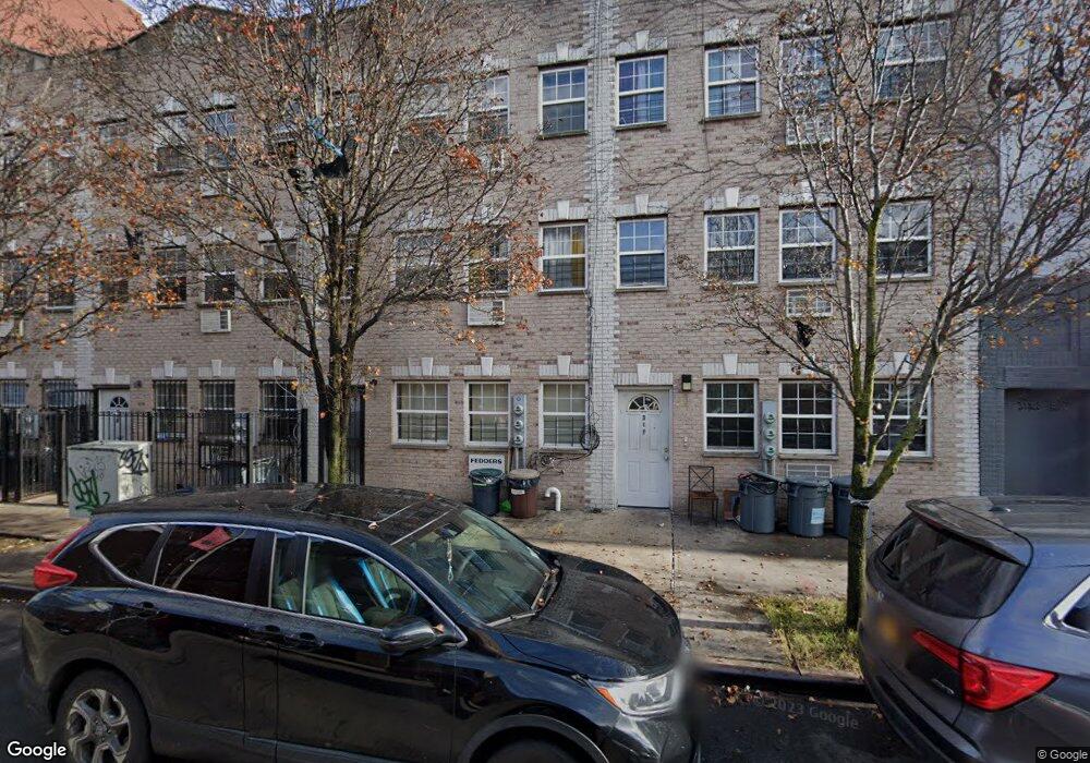
309 Sheffield Ave Brooklyn, NY 11207
Brownsville NeighborhoodEstimated Value: $1,006,451 - $1,250,000
6
Beds
7
Baths
3,162
Sq Ft
$342/Sq Ft
Est. Value
About This Home
This home is located at 309 Sheffield Ave, Brooklyn, NY 11207 and is currently estimated at $1,081,863, approximately $342 per square foot. 309 Sheffield Ave is a home located in Kings County with nearby schools including P.S. 328 - Phyllis Wheatley, J.H.S 292 Margaret S. Douglas, and Hyde Leadership Charter School-Brooklyn.
Ownership History
Date
Name
Owned For
Owner Type
Purchase Details
Closed on
Apr 28, 2009
Sold by
Sheffield Avenue Holding Corp
Bought by
Cox Odette and Cox Sherman
Current Estimated Value
Home Financials for this Owner
Home Financials are based on the most recent Mortgage that was taken out on this home.
Original Mortgage
$522,265
Outstanding Balance
$325,683
Interest Rate
4.93%
Mortgage Type
Purchase Money Mortgage
Estimated Equity
$756,180
Create a Home Valuation Report for This Property
The Home Valuation Report is an in-depth analysis detailing your home's value as well as a comparison with similar homes in the area
Home Values in the Area
Average Home Value in this Area
Purchase History
| Date | Buyer | Sale Price | Title Company |
|---|---|---|---|
| Cox Odette | $531,900 | -- |
Source: Public Records
Mortgage History
| Date | Status | Borrower | Loan Amount |
|---|---|---|---|
| Open | Cox Odette | $522,265 |
Source: Public Records
Tax History
| Year | Tax Paid | Tax Assessment Tax Assessment Total Assessment is a certain percentage of the fair market value that is determined by local assessors to be the total taxable value of land and additions on the property. | Land | Improvement |
|---|---|---|---|---|
| 2025 | $9,111 | $52,740 | $23,160 | $29,580 |
| 2024 | $9,111 | $45,360 | $23,160 | $22,200 |
| 2023 | $9,265 | $55,680 | $23,160 | $32,520 |
| 2022 | $8,721 | $48,840 | $23,160 | $25,680 |
| 2021 | $8,673 | $48,660 | $23,160 | $25,500 |
| 2020 | $4,067 | $43,980 | $23,160 | $20,820 |
| 2019 | $8,133 | $43,980 | $23,160 | $20,820 |
| 2018 | $2,522 | $38,016 | $14,958 | $23,058 |
| 2017 | $1,215 | $36,404 | $22,591 | $13,813 |
| 2016 | $1,191 | $34,344 | $21,521 | $12,823 |
| 2015 | $813 | $32,400 | $23,640 | $8,760 |
| 2014 | $813 | $32,400 | $23,640 | $8,760 |
Source: Public Records
Map
Nearby Homes
- 317 Pennsylvania Ave
- 392 New Jersey Ave Unit 3921
- 353 Pennsylvania Ave
- 444 New Jersey Ave
- 342 Wyona St
- 439 Vermont St
- 504 Vermont St
- 412 Bradford St
- 440 Miller Ave
- 243 Wyona St
- 239 New Jersey Ave
- 472 Sutter Ave
- 443 Miller Ave
- 461 Miller Ave
- 774 Blake Ave
- 200 New Jersey Ave
- 537 Miller Ave
- 543 Miller Ave
- 207 Bradford St
- 412 Hendrix St
- 307 Sheffield Ave
- 305 Sheffield Ave
- 303 Sheffield Ave
- 615-625 Sutter Ave
- 301 Sheffield Ave
- 627 Sutter Ave Unit 2
- 627 Sutter Ave
- 299 Sheffield Ave
- 314 Pennsylvania Ave
- 314 Pennsylvania Ave
- 314 Pennsylvania Ave
- 314 Pennsylvania Ave
- 318 Pennsylvania Ave
- 629 Sutter Ave
- 297 Sheffield Ave
- 306 Pennsylvania Ave
- 631 Sutter Ave
- 613 Sutter Ave
- 635 Sutter Ave
- 304 Pennsylvania Ave
Your Personal Tour Guide
Ask me questions while you tour the home.