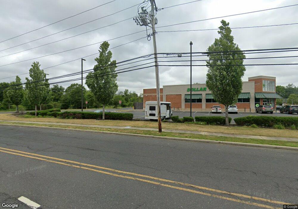
309 State Route 33 Manalapan, NJ 07726
Estimated Value: $570,775 - $1,394,000
3
Beds
2
Baths
4,155
Sq Ft
$219/Sq Ft
Est. Value
About This Home
This home is located at 309 State Route 33, Manalapan, NJ 07726 and is currently estimated at $909,444, approximately $218 per square foot. 309 State Route 33 is a home located in Monmouth County with nearby schools including Wemrock Brook School, Manalapan-Englishtown Middle School, and Pine Brook Elementary School.
Ownership History
Date
Name
Owned For
Owner Type
Purchase Details
Closed on
Jan 28, 2016
Sold by
Rockwell Margaret
Bought by
Pranaya Realtors Llc
Current Estimated Value
Purchase Details
Closed on
Jan 27, 2006
Sold by
Petrics William A
Bought by
Njy Builders Inc
Create a Home Valuation Report for This Property
The Home Valuation Report is an in-depth analysis detailing your home's value as well as a comparison with similar homes in the area
Home Values in the Area
Average Home Value in this Area
Purchase History
| Date | Buyer | Sale Price | Title Company |
|---|---|---|---|
| Pranaya Realtors Llc | $400,000 | First American Title Ins Com | |
| Njy Builders Inc | $675,000 | -- |
Source: Public Records
Mortgage History
| Date | Status | Borrower | Loan Amount |
|---|---|---|---|
| Closed | Njy Builders Inc | $0 |
Source: Public Records
Tax History Compared to Growth
Tax History
| Year | Tax Paid | Tax Assessment Tax Assessment Total Assessment is a certain percentage of the fair market value that is determined by local assessors to be the total taxable value of land and additions on the property. | Land | Improvement |
|---|---|---|---|---|
| 2025 | $7,486 | $543,700 | $201,000 | $342,700 |
| 2024 | $7,271 | $443,500 | $177,200 | $266,300 |
| 2023 | $7,271 | $437,200 | $177,200 | $260,000 |
| 2022 | $8,274 | $424,900 | $177,200 | $247,700 |
| 2021 | $8,274 | $397,400 | $177,200 | $220,200 |
| 2020 | $8,162 | $396,200 | $177,200 | $219,000 |
| 2019 | $8,070 | $391,200 | $177,200 | $214,000 |
| 2018 | $9,842 | $474,100 | $177,200 | $296,900 |
| 2017 | $9,626 | $463,900 | $177,200 | $286,700 |
| 2016 | $9,457 | $460,400 | $177,200 | $283,200 |
| 2015 | $9,714 | $467,900 | $186,500 | $281,400 |
| 2014 | $11,212 | $526,400 | $304,600 | $221,800 |
Source: Public Records
Map
Nearby Homes
- 2011 Wander Ln
- 1311 Auburn Terrace Unit 1301
- 1214 Auburn Terrace Unit 1204
- 2013 Wander Ln Unit 2003
- 2013 Wander Ln
- 1213 Auburn Terrace
- 1912 Melrose Blvd Unit 1902
- 2011 Wander Ln Unit 2001
- 1914 Melrose Blvd Unit 1904
- 2014 Wander Ln Unit 2004
- 1315 Auburn Terrace
- 1213 Auburn Terrace Unit 1203
- 1211 Auburn Terrace Unit 1201
- 1315 Auburn Terrace Unit 1305
- 1212 Auburn Terrace Unit 1202
- 1115 Melrose Blvd Unit 1105
- 2014 Wander Ln
- 1911 Melrose Blvd Unit 1901
- 1312 Auburn Terrace Unit 1302
- 1211 Auburn Terrace
- 317 State Route 33
- 317 State Route 33
- 1712 Melrose Blvd Unit 1702
- 317 New Jersey 33
- 321 State Route 33
- 321 State Route 33
- 321 State Route 33 Unit 1
- 321 State Route 33 Unit 2
- 320 Highway 33
- 320 New Jersey 33
- 275 State Route 33
- 289 New Jersey 33 Unit 3
- 289 New Jersey 33
- 289 New Jersey 33 Unit D
- 271 State Route 33
- 715 Fremont Dr
- 1913 Melrose Blvd
- 1411 Melrose Blvd
- 1713 Melrose Blvd
- 1711 Melrose Blvd
