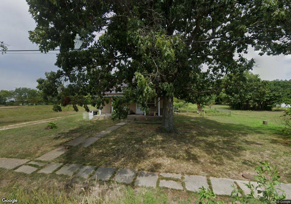
309 W State Route 2 Chilhowee, MO 64733
Estimated Value: $57,139 - $307,000
--
Bed
--
Bath
1,697
Sq Ft
$114/Sq Ft
Est. Value
About This Home
This home is located at 309 W State Route 2, Chilhowee, MO 64733 and is currently estimated at $193,713, approximately $114 per square foot. 309 W State Route 2 is a home located in Johnson County with nearby schools including Chilhowee Elementary School and Chilhowee High School.
Ownership History
Date
Name
Owned For
Owner Type
Purchase Details
Closed on
Mar 9, 2023
Sold by
Jacob Randy W
Bought by
Atkinson James and Atkinson Heather
Current Estimated Value
Home Financials for this Owner
Home Financials are based on the most recent Mortgage that was taken out on this home.
Original Mortgage
$16,800
Outstanding Balance
$16,273
Interest Rate
6.13%
Mortgage Type
New Conventional
Estimated Equity
$177,440
Purchase Details
Closed on
Oct 29, 2019
Sold by
Dean Jacqueline
Bought by
Jacob Randy W
Purchase Details
Closed on
Jul 30, 2014
Sold by
Hough Marjorie and Maserang Mary Lark
Bought by
Dean Jacqueline
Create a Home Valuation Report for This Property
The Home Valuation Report is an in-depth analysis detailing your home's value as well as a comparison with similar homes in the area
Home Values in the Area
Average Home Value in this Area
Purchase History
| Date | Buyer | Sale Price | Title Company |
|---|---|---|---|
| Atkinson James | -- | Western Missouri Title | |
| Jacob Randy W | -- | None Available | |
| Dean Jacqueline | -- | None Available |
Source: Public Records
Mortgage History
| Date | Status | Borrower | Loan Amount |
|---|---|---|---|
| Open | Atkinson James | $16,800 |
Source: Public Records
Tax History Compared to Growth
Tax History
| Year | Tax Paid | Tax Assessment Tax Assessment Total Assessment is a certain percentage of the fair market value that is determined by local assessors to be the total taxable value of land and additions on the property. | Land | Improvement |
|---|---|---|---|---|
| 2024 | $331 | $3,867 | $0 | $0 |
| 2023 | $331 | $3,867 | $0 | $0 |
| 2022 | $314 | $3,698 | $0 | $0 |
| 2021 | $314 | $3,698 | $0 | $0 |
| 2020 | $292 | $3,386 | $0 | $0 |
| 2019 | $287 | $3,386 | $0 | $0 |
| 2017 | $277 | $3,386 | $0 | $0 |
| 2016 | $279 | $3,386 | $0 | $0 |
| 2015 | $289 | $3,386 | $0 | $0 |
| 2014 | $283 | $3,386 | $0 | $0 |
Source: Public Records
Map
Nearby Homes
- 924 NW 501 Rd
- 871 SW 301st Rd
- 700 SW 800th Rd
- O Hwy and Sw 1200th Rd
- 0 O Hwy Tracts C and D Hwy Unit HMS2571559
- 1318 NW 911p Rd
- 808 SW O Hwy
- TBD SW 101st Rd
- 1244 SW 101st Rd
- 739 SW 700th Rd
- 169 SW 800th Rd
- 10368 NW Highway O
- 833 SW 1101st Rd
- 1287 SE State Route 13 N A
- 324 N Main St
- 312 N Main St
- 1246 Missouri 13
- 1287 SE State Route 13
- 938 SW 13 Hwy
- 815 SW 520th Rd
- 305 W State Route 2
- 210 N Missouri St
- 208 N Missouri St
- 301 W State Route 2
- 205 N Missouri Ave
- 205 N Missouri St
- 2 W Highway Hwy
- 602 E 2 Nd St
- 204 W 2 Hwy
- 206 N Missouri St
- 204 N Ohio St
- 309 W Spruce St
- 211 N Ohio St
- 203 W State Route 2
- 212 N Missouri St
- 200 N Ohio St
- 210 N Central St
- 208 N Central St
- 206 N Central St
- 304 W Spruce St