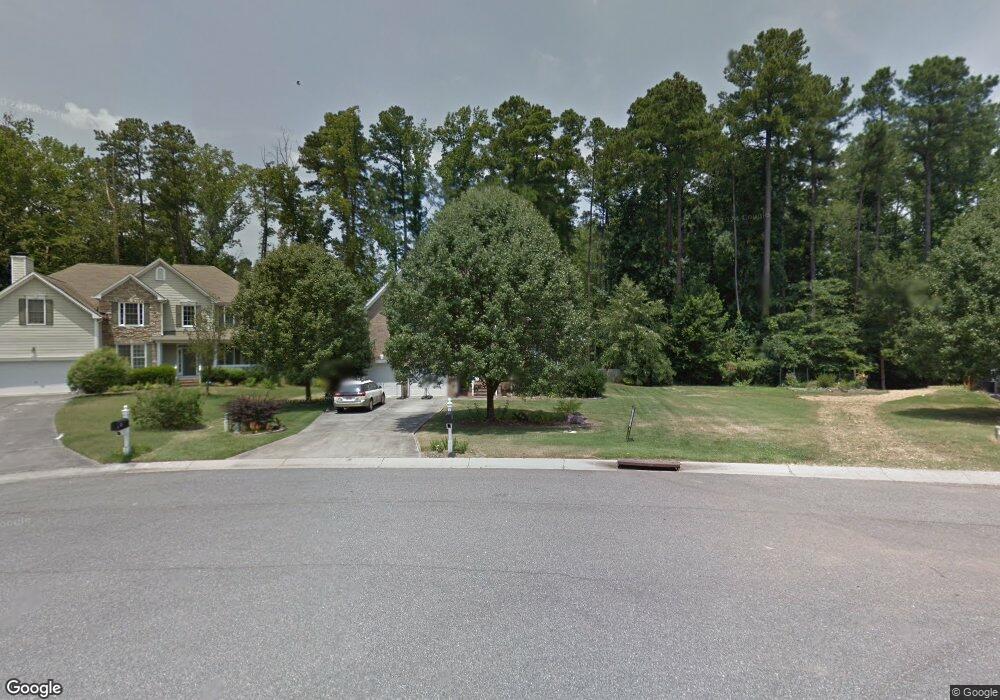
309 Weslyn Trace Dr Durham, NC 27703
Eastern Durham NeighborhoodEstimated Value: $474,000 - $575,000
4
Beds
3
Baths
2,600
Sq Ft
$208/Sq Ft
Est. Value
About This Home
This home is located at 309 Weslyn Trace Dr, Durham, NC 27703 and is currently estimated at $540,456, approximately $207 per square foot. 309 Weslyn Trace Dr is a home located in Durham County with nearby schools including Oak Grove Elementary, John W Neal Middle School, and Southern School of Energy & Sustainability.
Ownership History
Date
Name
Owned For
Owner Type
Purchase Details
Closed on
Mar 19, 2014
Sold by
Houde Joseph F and Houde Leah D
Bought by
Huggins Deniel L
Current Estimated Value
Home Financials for this Owner
Home Financials are based on the most recent Mortgage that was taken out on this home.
Original Mortgage
$224,200
Outstanding Balance
$170,322
Interest Rate
4.4%
Mortgage Type
New Conventional
Estimated Equity
$370,134
Purchase Details
Closed on
Nov 9, 2012
Sold by
Brazil Kimberly Monique Barndon and Brandon Kimberly Monique
Bought by
Brandon Willei G
Purchase Details
Closed on
May 30, 2001
Sold by
D R Horton Inc Torrey Homes
Bought by
Houde Joseph F and Houde Leah D
Home Financials for this Owner
Home Financials are based on the most recent Mortgage that was taken out on this home.
Original Mortgage
$235,030
Interest Rate
7.11%
Create a Home Valuation Report for This Property
The Home Valuation Report is an in-depth analysis detailing your home's value as well as a comparison with similar homes in the area
Home Values in the Area
Average Home Value in this Area
Purchase History
| Date | Buyer | Sale Price | Title Company |
|---|---|---|---|
| Huggins Deniel L | $236,000 | None Available | |
| Brandon Willei G | -- | None Available | |
| Houde Joseph F | $247,500 | -- |
Source: Public Records
Mortgage History
| Date | Status | Borrower | Loan Amount |
|---|---|---|---|
| Open | Huggins Deniel L | $224,200 | |
| Previous Owner | Houde Joseph F | $235,030 |
Source: Public Records
Tax History Compared to Growth
Tax History
| Year | Tax Paid | Tax Assessment Tax Assessment Total Assessment is a certain percentage of the fair market value that is determined by local assessors to be the total taxable value of land and additions on the property. | Land | Improvement |
|---|---|---|---|---|
| 2025 | $5,547 | $559,587 | $102,750 | $456,837 |
| 2024 | $4,620 | $331,226 | $45,045 | $286,181 |
| 2023 | $4,339 | $331,226 | $45,045 | $286,181 |
| 2022 | $4,239 | $331,226 | $45,045 | $286,181 |
| 2021 | $4,219 | $331,226 | $45,045 | $286,181 |
| 2020 | $4,120 | $331,226 | $45,045 | $286,181 |
| 2019 | $4,120 | $331,226 | $45,045 | $286,181 |
| 2018 | $3,711 | $273,552 | $37,537 | $236,015 |
| 2017 | $3,683 | $273,552 | $37,537 | $236,015 |
| 2016 | $3,559 | $273,552 | $37,537 | $236,015 |
| 2015 | $3,517 | $254,030 | $49,027 | $205,003 |
| 2014 | $4,490 | $324,324 | $49,027 | $275,297 |
Source: Public Records
Map
Nearby Homes
- 301 Sylvias Ct
- 110 Kindlewood Dr
- 2117 Fletchers Ridge Dr
- 416 Chivalry Dr
- 208 Lick Creek Ln
- 107 Crosswood Dr
- 103 Bermuda Green Dr
- 502 Quartz Dr
- 604 Bellmeade Bay Dr
- 521 Quartz Dr
- 1 Thorn Brook Ct
- 2 Venetia Cove
- 516 Guy Walker Way
- 210 Stoney Creek Cir
- 3409 Judy Ave
- 5706 Wrenwood Ct
- 2800-2809 Napoli Dr
- 412 Maymont Dr
- 16 Vestrial Ln
- 64 N Angela Cir
- 311 Weslyn Trace Dr
- 3825 Valleydale Dr
- 307 Weslyn Trace Dr
- 313 Weslyn Trace Dr
- 3823 Valleydale Dr
- 306 WESLYN Weslyn Trace Dr
- 303 Weslyn Trace Dr
- 306 WESLYN TRAC Weslyn Trace Dr
- 306 Weslyn Trace Dr
- 312 Weslyn Trace Dr
- 310 Weslyn Trace Dr
- 3821 Valleydale Dr
- 308 Weslyn Trace Dr
- 301 Weslyn Trace Dr
- 1 Carylynn Ct
- 3822 Valleydale Dr
- WN25 Carylynn Ct
- WN26 Carylynn Ct
- 209 Weslyn Trace Dr
- 3818 Valleydale Dr