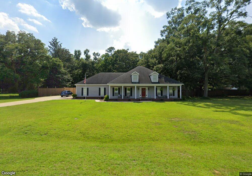
3090 Branson Rd W Mobile, AL 36695
Outer West Mobile NeighborhoodEstimated Value: $326,845 - $446,000
4
Beds
4
Baths
2,396
Sq Ft
$155/Sq Ft
Est. Value
About This Home
This home is located at 3090 Branson Rd W, Mobile, AL 36695 and is currently estimated at $370,961, approximately $154 per square foot. 3090 Branson Rd W is a home located in Mobile County with nearby schools including Hutchens Elementary School, Dawes Intermediate School, and Bernice J Causey Middle School.
Ownership History
Date
Name
Owned For
Owner Type
Purchase Details
Closed on
Sep 5, 2017
Sold by
Stewart Terry L and Stewart Michele J
Bought by
Phillips Patrick J and Phillips Nicole M
Current Estimated Value
Home Financials for this Owner
Home Financials are based on the most recent Mortgage that was taken out on this home.
Original Mortgage
$235,373
Outstanding Balance
$192,929
Interest Rate
3.5%
Mortgage Type
FHA
Estimated Equity
$178,032
Purchase Details
Closed on
Jul 12, 2007
Sold by
Thompson Christopher Bernard and Thompson Maria E
Bought by
Stewart Terry L and Stewart Michele J
Home Financials for this Owner
Home Financials are based on the most recent Mortgage that was taken out on this home.
Original Mortgage
$199,200
Interest Rate
6.37%
Mortgage Type
Unknown
Create a Home Valuation Report for This Property
The Home Valuation Report is an in-depth analysis detailing your home's value as well as a comparison with similar homes in the area
Home Values in the Area
Average Home Value in this Area
Purchase History
| Date | Buyer | Sale Price | Title Company |
|---|---|---|---|
| Phillips Patrick J | $243,500 | Guaranty Title Company | |
| Stewart Terry L | $249,200 | Gtc |
Source: Public Records
Mortgage History
| Date | Status | Borrower | Loan Amount |
|---|---|---|---|
| Open | Phillips Patrick J | $235,373 | |
| Previous Owner | Stewart Terry L | $199,200 |
Source: Public Records
Tax History
| Year | Tax Paid | Tax Assessment Tax Assessment Total Assessment is a certain percentage of the fair market value that is determined by local assessors to be the total taxable value of land and additions on the property. | Land | Improvement |
|---|---|---|---|---|
| 2025 | $1,377 | $28,810 | $4,000 | $24,810 |
| 2024 | $1,377 | $26,470 | $4,000 | $22,470 |
| 2023 | $1,287 | $23,490 | $4,000 | $19,490 |
| 2022 | $992 | $21,830 | $4,000 | $17,830 |
| 2021 | $1,003 | $22,050 | $4,000 | $18,050 |
| 2020 | $934 | $20,640 | $4,000 | $16,640 |
| 2019 | $949 | $20,940 | $0 | $0 |
| 2018 | $1,025 | $21,140 | $0 | $0 |
| 2017 | $1,028 | $21,140 | $0 | $0 |
| 2016 | $968 | $21,340 | $0 | $0 |
| 2013 | $1,109 | $23,300 | $0 | $0 |
Source: Public Records
Map
Nearby Homes
- 0 Newman Rd Unit 25399577
- 0 Newman Rd Unit 7652668
- 0 Newman Rd Unit 7670125
- 0 Newman Rd Unit 25537843
- 2978 Branson Park Ct
- 3137 Busby Rd
- 12171 Yancey Glen Dr
- 3221 Deer Crest Ct
- 0 Lakefront Dr Unit 7716851
- 13346 Deer Crest Ln
- 12240 Dogwood Cir
- 13045 Oak Forge Dr
- 3761 Lakefront Dr
- 13163 Buckthorn Ct
- 3770 Lakefront Dr
- #77 Deer Crest Dr
- 3397 Deer Crest Dr
- 3835 Lakefront Dr W
- 13046 Tara Point Dr
- 2865 Barlett Dr
- 3085 Branson Rd W
- 3070 Branson Rd W
- 12461 Branson Rd
- 12451 Branson Rd
- 12440 Branson Rd
- 12441 Branson Rd
- 3050 Branson Rd W
- 3055 Branson Rd W
- 3070 Branson Ct W
- 3045 Branson Ct W
- 12540 Branson Rd Unit 21
- 3030 Branson Rd W
- 3170 Newman Rd
- 12431 Branson Rd
- 12545 Branson Ln
- 7 Branson Ln Unit 7
- 3035 Branson Ct W
- 3035 Branson Rd W
- 3015 Branson Rd W
- 3010 Branson Ct W
Your Personal Tour Guide
Ask me questions while you tour the home.