3090 Cattail Rd Chillicothe, OH 45601
Estimated Value: $280,000 - $371,413
3
Beds
2
Baths
1,680
Sq Ft
$189/Sq Ft
Est. Value
About This Home
This home is located at 3090 Cattail Rd, Chillicothe, OH 45601 and is currently estimated at $318,103, approximately $189 per square foot. 3090 Cattail Rd is a home with nearby schools including Unioto Elementary School, Unioto Middle School, and Unioto High School.
Ownership History
Date
Name
Owned For
Owner Type
Purchase Details
Closed on
Apr 25, 2015
Sold by
Beasley Rick D and Beasley Renee L
Bought by
Beasley Ricky D and Beasley Renee L
Current Estimated Value
Home Financials for this Owner
Home Financials are based on the most recent Mortgage that was taken out on this home.
Original Mortgage
$133,115
Outstanding Balance
$103,871
Interest Rate
4.12%
Mortgage Type
FHA
Estimated Equity
$214,232
Purchase Details
Closed on
Oct 13, 2005
Sold by
Countryme Grove City Ltd
Bought by
Beasley Rick D and Beasley Renee L
Home Financials for this Owner
Home Financials are based on the most recent Mortgage that was taken out on this home.
Original Mortgage
$139,500
Interest Rate
6.13%
Mortgage Type
Construction
Create a Home Valuation Report for This Property
The Home Valuation Report is an in-depth analysis detailing your home's value as well as a comparison with similar homes in the area
Home Values in the Area
Average Home Value in this Area
Purchase History
| Date | Buyer | Sale Price | Title Company |
|---|---|---|---|
| Beasley Ricky D | -- | Attorney | |
| Beasley Rick D | $23,090 | None Available |
Source: Public Records
Mortgage History
| Date | Status | Borrower | Loan Amount |
|---|---|---|---|
| Open | Beasley Ricky D | $133,115 | |
| Closed | Beasley Rick D | $139,500 |
Source: Public Records
Tax History Compared to Growth
Tax History
| Year | Tax Paid | Tax Assessment Tax Assessment Total Assessment is a certain percentage of the fair market value that is determined by local assessors to be the total taxable value of land and additions on the property. | Land | Improvement |
|---|---|---|---|---|
| 2024 | $3,418 | $96,710 | $9,990 | $86,720 |
| 2023 | $3,418 | $96,710 | $9,990 | $86,720 |
| 2022 | $3,493 | $96,710 | $9,990 | $86,720 |
| 2021 | $2,854 | $73,970 | $7,690 | $66,280 |
| 2020 | $2,870 | $73,970 | $7,690 | $66,280 |
| 2019 | $2,870 | $73,970 | $7,690 | $66,280 |
| 2018 | $2,359 | $59,600 | $7,360 | $52,240 |
| 2017 | $2,363 | $59,600 | $7,360 | $52,240 |
| 2016 | $2,304 | $59,600 | $7,360 | $52,240 |
| 2015 | $2,164 | $55,380 | $7,360 | $48,020 |
| 2014 | $2,115 | $55,380 | $7,360 | $48,020 |
| 2013 | $2,125 | $55,380 | $7,360 | $48,020 |
Source: Public Records
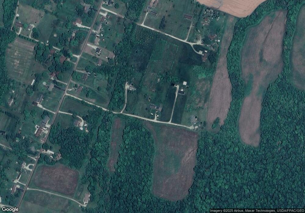
Map
Nearby Homes
- 69 Cook Ln
- 1667 Stone Rd Unit Lot 59
- 500 Old Elm Rd
- 11303 County Road 550
- 25 Woodland Way
- 265 Brookside Dr
- 2153 Egypt Pike
- 12690 Pleasant Valley Rd
- 45 Custer Dr
- 14839 Westfall Road Lot 8
- 13223 Pleasant Valley Rd
- 14839 Westfall Road Lot 2
- 14839 Westfall Road Lot 20
- 435 Mount Carmel Rd
- 14839 Westfall Road Lot 4
- 559 Golfview Dr
- 0 US Rt 23 Unit 1857559
- 186 Caitlin Dr
- 365 Golfview Dr
- 2391 Simmons Rd
- 3092 Cattail Rd
- 3088 Cattail Rd
- 3084 Cattail Rd
- 3242 Cattail Rd
- 3188 Cattail Rd
- 3194 Cattail Rd
- 3132 Cattail Rd
- 3200 Cattail Rd
- 3101 Cattail Rd
- 3145 Cattail Rd
- 3091 Cattail Rd
- 3246 Cattail Rd
- 3246 Cattail Rd
- 3250 Cattail Rd
- 3220 Cattail Rd
- 3085 Cattail Rd
- 3244 Cattail Rd
- 3211 Cattail Rd
- 2960 Cattail Rd
- 3053 Cattail Rd