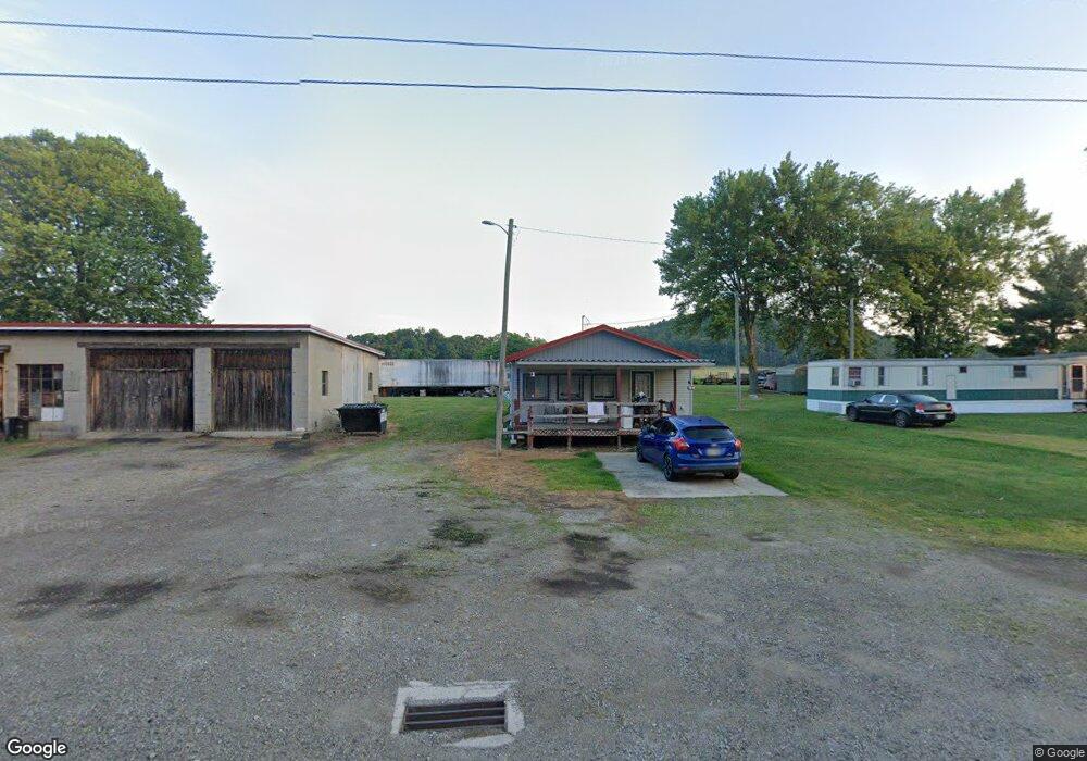
3091 State Route 41 S Bainbridge, OH 45612
Estimated Value: $108,715 - $262,000
1
Bed
1
Bath
896
Sq Ft
$207/Sq Ft
Est. Value
About This Home
This home is located at 3091 State Route 41 S, Bainbridge, OH 45612 and is currently estimated at $185,358, approximately $206 per square foot. 3091 State Route 41 S is a home with nearby schools including Western Elementary School and Western High School.
Ownership History
Date
Name
Owned For
Owner Type
Purchase Details
Closed on
Mar 29, 2025
Sold by
Huff Larry R and Huff Alice F
Bought by
Huff Larry
Current Estimated Value
Purchase Details
Closed on
Oct 14, 2011
Sold by
Huff Larry R and Huff Alice F
Bought by
Huff Larry R and Huff Alice F
Purchase Details
Closed on
Apr 9, 2010
Sold by
Huff Orvel R
Bought by
Huff Larry R and Huff Alice
Purchase Details
Closed on
Mar 11, 2005
Sold by
Huff Orvel R and Huff Etta F
Bought by
Huff Larry R
Create a Home Valuation Report for This Property
The Home Valuation Report is an in-depth analysis detailing your home's value as well as a comparison with similar homes in the area
Home Values in the Area
Average Home Value in this Area
Purchase History
| Date | Buyer | Sale Price | Title Company |
|---|---|---|---|
| Huff Larry | -- | None Listed On Document | |
| Huff Larry R | -- | None Available | |
| Huff Larry R | -- | None Available | |
| Huff Larry R | -- | None Available |
Source: Public Records
Tax History Compared to Growth
Tax History
| Year | Tax Paid | Tax Assessment Tax Assessment Total Assessment is a certain percentage of the fair market value that is determined by local assessors to be the total taxable value of land and additions on the property. | Land | Improvement |
|---|---|---|---|---|
| 2024 | $896 | $27,560 | $5,920 | $21,640 |
| 2023 | $896 | $27,560 | $5,920 | $21,640 |
| 2022 | $757 | $22,620 | $5,390 | $17,230 |
| 2021 | $736 | $22,620 | $5,390 | $17,230 |
| 2020 | $741 | $22,620 | $5,390 | $17,230 |
| 2019 | $666 | $20,410 | $4,900 | $15,510 |
| 2018 | $548 | $20,410 | $4,900 | $15,510 |
| 2017 | $734 | $26,050 | $4,900 | $21,150 |
| 2016 | $330 | $7,540 | $2,320 | $5,220 |
| 2015 | $330 | $7,540 | $2,320 | $5,220 |
| 2014 | $339 | $7,540 | $2,320 | $5,220 |
| 2013 | $355 | $7,540 | $2,320 | $5,220 |
| 2012 | $377 | $7,540 | $2,320 | $5,220 |
Source: Public Records
Map
Nearby Homes
- 14703 Brier Rd
- 61 Maple Dr
- 0 Maple Dr Unit 1841507
- 355 Maple Dr
- 7724 Cave Rd
- 1646 Bell Hollow Rd
- 4999 Auerville Rd
- 0 Schmidt Rd
- 12977 U S 50
- 6838 McCoppin Mill Rd
- 1540 Cove Run Rd
- 316 S Maple St
- 201 N Maple St
- 301 N Maple St
- 6935 Laura Blvd
- 213 S Benner Hill Rd
- 0 Lakefront Dr Unit 945849
- 0 Green Ridge Rd Unit 198065
- 0 Green Ridge Rd Unit 22808921
- 0 Green Ridge Rd Unit 1832842
- 3140 State Route 41
- 3039 State Route 41 S
- 3039 State Route 41 S
- 3039 Sr 41 S
- 3139 State Route 41 S
- 3019 State Route 41 S
- 3030 State Route 41 S
- 3194 State Route 41 S
- 2917 State Route 41 S
- 3233 State Route 41
- 2905 State Route 41 S
- 3381 State Route 41 S
- 2823 State Route 41 S
- 2797 State Route 41 S
- 2724 Main St-Adj Alley
- 2733 State Route 41
- 2733 Main St
- 2703 St Rt 41
- 2687 Main St-At Corner Sunfish St
- 108 East St