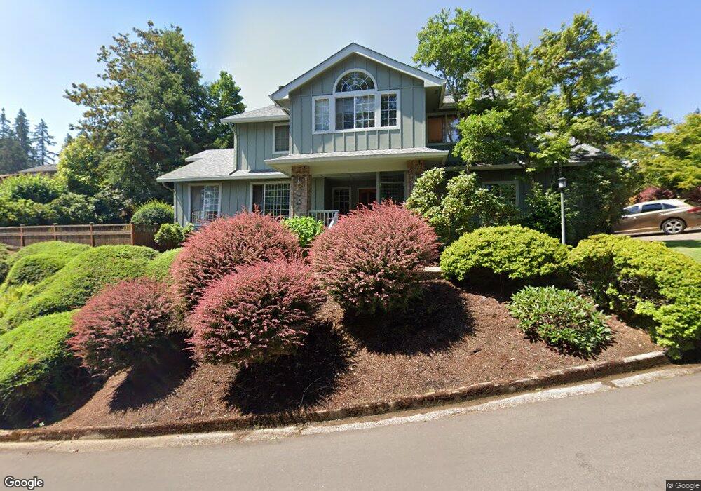
3092 Soloman Loop Eugene, OR 97405
Crest Drive NeighborhoodEstimated Value: $675,500 - $943,000
4
Beds
3
Baths
2,504
Sq Ft
$323/Sq Ft
Est. Value
About This Home
This home is located at 3092 Soloman Loop, Eugene, OR 97405 and is currently estimated at $808,875, approximately $323 per square foot. 3092 Soloman Loop is a home located in Lane County with nearby schools including Adams Elementary School, Arts And Technology Academy At Jefferson, and Churchill High School.
Ownership History
Date
Name
Owned For
Owner Type
Purchase Details
Closed on
Jul 27, 2021
Sold by
Seldon Jeffrey Scott and Winterman Gail Ellen
Bought by
Seldon Jeffrey S and Winterman Gail E
Current Estimated Value
Purchase Details
Closed on
Mar 29, 2000
Sold by
Ketchum Timothy J and Ketchum Carol A
Bought by
Seldon Jeffrey Scott and Winterman Gail Ellen
Home Financials for this Owner
Home Financials are based on the most recent Mortgage that was taken out on this home.
Original Mortgage
$110,000
Interest Rate
7.7%
Create a Home Valuation Report for This Property
The Home Valuation Report is an in-depth analysis detailing your home's value as well as a comparison with similar homes in the area
Home Values in the Area
Average Home Value in this Area
Purchase History
| Date | Buyer | Sale Price | Title Company |
|---|---|---|---|
| Seldon Jeffrey S | -- | None Available | |
| Seldon Jeffrey Scott | $310,000 | Key Title Company |
Source: Public Records
Mortgage History
| Date | Status | Borrower | Loan Amount |
|---|---|---|---|
| Previous Owner | Seldon Jeffrey Scott | $110,000 |
Source: Public Records
Tax History
| Year | Tax Paid | Tax Assessment Tax Assessment Total Assessment is a certain percentage of the fair market value that is determined by local assessors to be the total taxable value of land and additions on the property. | Land | Improvement |
|---|---|---|---|---|
| 2025 | $8,893 | $456,446 | -- | -- |
| 2024 | $8,783 | $443,152 | -- | -- |
| 2023 | $8,783 | $430,245 | $0 | $0 |
| 2022 | $8,228 | $417,714 | $0 | $0 |
| 2021 | $7,402 | $405,548 | $0 | $0 |
| 2020 | $7,201 | $393,736 | $0 | $0 |
| 2019 | $6,947 | $382,268 | $0 | $0 |
| 2018 | $6,548 | $360,324 | $0 | $0 |
| 2017 | $6,199 | $360,324 | $0 | $0 |
| 2016 | $5,939 | $349,829 | $0 | $0 |
| 2015 | $5,798 | $339,640 | $0 | $0 |
| 2014 | $5,681 | $329,748 | $0 | $0 |
Source: Public Records
Map
Nearby Homes
- 3093 Soloman Loop
- 3023 Ashley Loop
- 2850 Garfield St
- 2225 W 28th Ave
- 2455 W 29th Ave
- 2315 W 28th Ave
- 2323 W 28th Ave
- 2030 W 34th Ave
- 2037 Morning View Dr
- 2673 Garfield St
- 1783 Graham Dr
- 2572 W 28th Ave
- 0 Mclean Blvd Unit 24671448
- 0 Mclean Blvd Unit 697374759
- 2490 Panorama Dr
- 2736 Kismet Way
- 2430 Wilson Dr
- 2870 Hawkins Ln
- 0 Hallmark Ln
- 2728 Hallmark Ln
- 3092 Solomon Loop
- 2269 Lasater Blvd
- 2251 Lasater Blvd
- 3066 Soloman Loop
- 3071 Soloman Loop
- 3091 Soloman Loop
- 2233 Lasater Blvd
- 3067 Solomon Loop
- 3067 Soloman Loop
- 3093 Solomon Loop
- 2256 Lasater Blvd
- 2268 Lasater Blvd
- 2229 Lasater Blvd
- 2244 Lasater Blvd
- 2140 Shields Ave
- 3063 Soloman Loop
- 2232 Lasater Blvd
- 2272 Lasater Blvd
- 2155 Mclean Blvd
- 3069 Soloman Loop
Your Personal Tour Guide
Ask me questions while you tour the home.