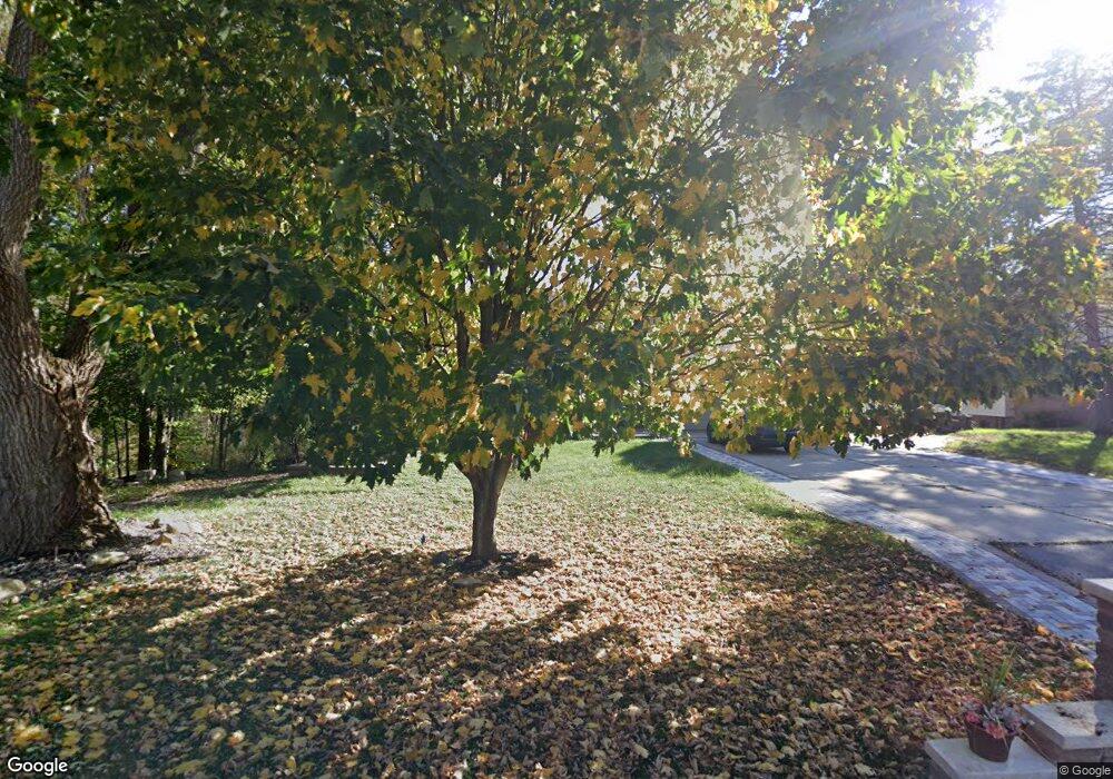
30931 Munger Dr Unit Bldg-Unit Livonia, MI 48154
Estimated Value: $480,000 - $596,000
3
Beds
3
Baths
2,227
Sq Ft
$231/Sq Ft
Est. Value
About This Home
This home is located at 30931 Munger Dr Unit Bldg-Unit, Livonia, MI 48154 and is currently estimated at $514,700, approximately $231 per square foot. 30931 Munger Dr Unit Bldg-Unit is a home located in Wayne County with nearby schools including Buchanan Elementary School, Riley Upper Elementary School, and Holmes Middle School.
Ownership History
Date
Name
Owned For
Owner Type
Purchase Details
Closed on
Jan 17, 2025
Sold by
Ei-Haj Nasser Ibrahim and Younes Hassana M
Bought by
Younes Hassana M and El-Haj And Younes Family Trust
Current Estimated Value
Purchase Details
Closed on
Jan 5, 2018
Sold by
Beroff Paul
Bought by
Younes Hassana
Purchase Details
Closed on
Nov 17, 2016
Sold by
Beroff Paul
Bought by
Beroff Paul and Paul Nelson Beroff Revocable Trust
Purchase Details
Closed on
Nov 3, 2011
Sold by
The Abram Andres & Suzanne C Andres Join
Bought by
Beroff Paul
Purchase Details
Closed on
Feb 3, 1999
Sold by
Andres Abram
Bought by
Joi Abram Andres Suzanne C Andres
Create a Home Valuation Report for This Property
The Home Valuation Report is an in-depth analysis detailing your home's value as well as a comparison with similar homes in the area
Home Values in the Area
Average Home Value in this Area
Purchase History
| Date | Buyer | Sale Price | Title Company |
|---|---|---|---|
| Younes Hassana M | -- | None Listed On Document | |
| Younes Hassana M | -- | None Listed On Document | |
| Younes Hassana | $315,000 | None Available | |
| Beroff Paul | -- | None Available | |
| Beroff Paul | $234,000 | None Available | |
| Joi Abram Andres Suzanne C Andres | -- | -- |
Source: Public Records
Tax History Compared to Growth
Tax History
| Year | Tax Paid | Tax Assessment Tax Assessment Total Assessment is a certain percentage of the fair market value that is determined by local assessors to be the total taxable value of land and additions on the property. | Land | Improvement |
|---|---|---|---|---|
| 2025 | $4,064 | $220,400 | $0 | $0 |
| 2024 | $4,064 | $206,100 | $0 | $0 |
| 2023 | $3,877 | $194,800 | $0 | $0 |
| 2022 | $6,807 | $178,600 | $0 | $0 |
| 2021 | $6,612 | $167,800 | $0 | $0 |
| 2019 | $6,343 | $156,200 | $0 | $0 |
| 2018 | $2,711 | $153,400 | $0 | $0 |
| 2017 | $4,799 | $150,000 | $0 | $0 |
| 2016 | $5,004 | $144,200 | $0 | $0 |
| 2015 | $12,113 | $137,160 | $0 | $0 |
| 2012 | -- | $117,080 | $36,000 | $81,080 |
Source: Public Records
Map
Nearby Homes
- 31069 Munger Dr
- 30115 Munger Dr
- 31366 Mayville St
- 29945 6 Mile Rd
- 15600 Auburndale St
- 31005 Roycroft St
- 15345 Bainbridge St
- 32525 6 Mile Rd
- 31257 Hillbrook St
- 18341 Sunset St
- 29464 Bobrich St Unit 49
- 18565 Sunset St
- 15040 Berwick St
- 32920 6 Mile Rd
- 18659 Flamingo Blvd
- 17760 Loveland St
- 18725 Flamingo Blvd
- 29106 Broadmoor St
- 16962 Farmington Rd Unit 20
- 15075 Hubbard St Unit 5
- 30931 Munger Dr
- 30931 Munger Dr
- 31007 Munger Dr
- 31007 Munger Dr
- 31013 Munger St
- 31025 Munger Dr
- 31002 Munger Dr
- 31032 Munger Dr
- 31032 Munger Dr
- 31012 Munger Dr
- 30904 Munger Dr
- 31008 Munger St
- 31054 Munger Dr
- 30850 Munger Dr
- 31076 Munger Dr
- 30800 Munger Dr
- 31223 Munger St
- 16544 Merriman Rd
- 31275 Munger Dr
- 31200 Munger Dr
