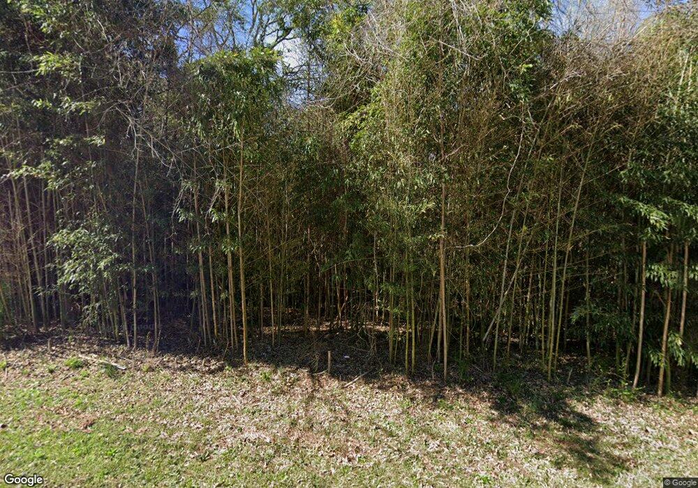
3095 McCorkles Curve Rd Thomaston, GA 30286
Estimated Value: $223,000 - $361,300
3
Beds
3
Baths
2,182
Sq Ft
$145/Sq Ft
Est. Value
About This Home
This home is located at 3095 McCorkles Curve Rd, Thomaston, GA 30286 and is currently estimated at $315,575, approximately $144 per square foot. 3095 McCorkles Curve Rd is a home located in Upson County with nearby schools including Upson-Lee South Elementary School, Upson-Lee North Elementary School, and Upson-Lee Middle School.
Ownership History
Date
Name
Owned For
Owner Type
Purchase Details
Closed on
Sep 19, 2019
Sold by
Blair Gregory Allen
Bought by
Blair Regina Ann
Current Estimated Value
Purchase Details
Closed on
Apr 26, 2008
Sold by
Blair Gregory A
Bought by
Blair Regina A
Purchase Details
Closed on
Jan 26, 2007
Sold by
Not Provided
Bought by
Blair Gregory A and Blair Regina A
Create a Home Valuation Report for This Property
The Home Valuation Report is an in-depth analysis detailing your home's value as well as a comparison with similar homes in the area
Home Values in the Area
Average Home Value in this Area
Purchase History
| Date | Buyer | Sale Price | Title Company |
|---|---|---|---|
| Blair Regina Ann | -- | -- | |
| Blair Regina A | -- | -- | |
| Blair Gregory A | -- | -- |
Source: Public Records
Tax History Compared to Growth
Tax History
| Year | Tax Paid | Tax Assessment Tax Assessment Total Assessment is a certain percentage of the fair market value that is determined by local assessors to be the total taxable value of land and additions on the property. | Land | Improvement |
|---|---|---|---|---|
| 2024 | $2,746 | $116,129 | $16,451 | $99,678 |
| 2023 | $2,721 | $112,594 | $16,451 | $96,143 |
| 2022 | $2,369 | $87,414 | $8,944 | $78,470 |
| 2021 | $2,005 | $78,104 | $8,944 | $69,160 |
| 2020 | $2,022 | $73,682 | $7,714 | $65,968 |
| 2019 | $2,187 | $73,384 | $8,006 | $65,378 |
| 2018 | $2,189 | $73,384 | $8,006 | $65,378 |
| 2017 | $2,101 | $64,499 | $8,006 | $56,493 |
| 2016 | $2,205 | $66,501 | $6,671 | $59,830 |
| 2015 | $2,205 | $66,501 | $6,671 | $59,830 |
| 2014 | $2,273 | $68,382 | $8,553 | $59,830 |
Source: Public Records
Map
Nearby Homes
- 145 Apple Rd
- 561 Jugtown Rd
- 297 Bishop Rd
- 668 Mountain View Dr
- 3854 Us Hwy 19
- 259 Bonanza Dr
- 0 Stewart Rd
- 121 Sheppard Rd
- 781 N Delray Rd
- 124 Brookfield Dr
- 205 Willow Rd
- 328 Rain Valley Cir
- 325 Rain Valley Cir
- 0 Daniel Rd Unit 10644862
- 206 Shannon Ct
- 101 Trent Jones Cir
- 307 Pardue Dr
- 0 Tyler Ln
- 928 Hwy 19
- 0 Alabama Rd Unit 22813063
- 3087 Highway 19 S
- 3087 McCorkles Curve Rd
- 0 Pryor Rd Unit 8105730
- 0 Pryor Rd Unit 8105648
- 0 Pryor Rd Unit 8246638
- 0 Pryor Rd Unit 6746881
- 0 Pryor Rd Unit 6655412
- 0 Pryor Rd Unit 8609184
- 3045 McCorkles Curve Rd
- 3098 Pryor Rd
- 0 Jugtown Rd Unit 2926563
- 0 Jugtown Rd Unit 215329
- 0 Jugtown Rd Unit 9040580
- 0 Jugtown Rd Unit 9040428
- 0 Jugtown Rd Unit M161944
- 0 Jugtown Rd Unit 76.5+/- Acres
- 3179 McCorkle Curve Rd
- 0 Jugtown Rd Unit 3271544
- 0 Jugtown Rd Unit Tract E-1C 8929944
- 0 Jugtown Rd Unit Tract 4 8756109
