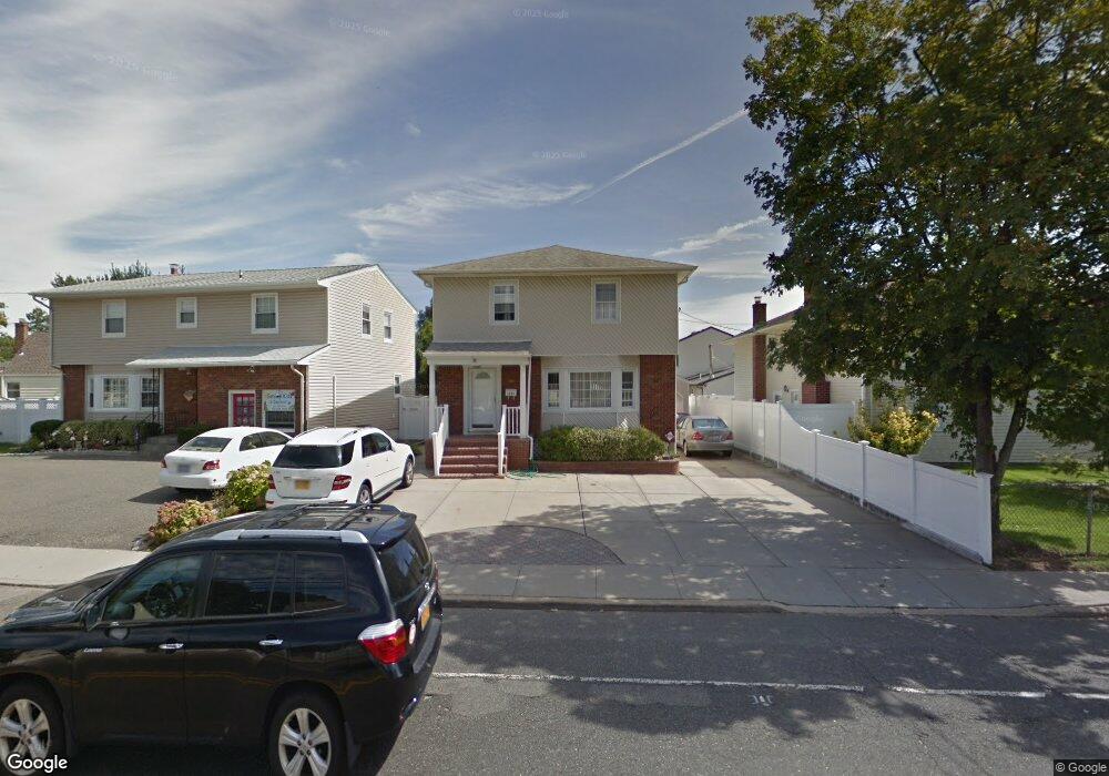
3095 Oceanside Rd Oceanside, NY 11572
Estimated Value: $633,566 - $794,000
Studio
2
Baths
1,597
Sq Ft
$447/Sq Ft
Est. Value
About This Home
This home is located at 3095 Oceanside Rd, Oceanside, NY 11572 and is currently estimated at $713,783, approximately $446 per square foot. 3095 Oceanside Rd is a home located in Nassau County with nearby schools including South Oceanside Road Elementary - School 4, Oceanside Middle School, and Oceanside High School.
Ownership History
Date
Name
Owned For
Owner Type
Purchase Details
Closed on
Oct 19, 2004
Sold by
Ambrosio Patrick
Bought by
Salcedo Ramon
Current Estimated Value
Purchase Details
Closed on
Mar 24, 2000
Sold by
Deblase David and Deblase Diane
Bought by
Ambrosio Patrick and Ambrosio Mary
Purchase Details
Closed on
Dec 16, 1994
Sold by
Flaherty Dorothy
Bought by
Deblase David and Deblase Diane
Home Financials for this Owner
Home Financials are based on the most recent Mortgage that was taken out on this home.
Original Mortgage
$148,000
Interest Rate
8.96%
Create a Home Valuation Report for This Property
The Home Valuation Report is an in-depth analysis detailing your home's value as well as a comparison with similar homes in the area
Home Values in the Area
Average Home Value in this Area
Purchase History
| Date | Buyer | Sale Price | Title Company |
|---|---|---|---|
| Salcedo Ramon | $415,000 | -- | |
| Ambrosio Patrick | $245,000 | Joseph Lee | |
| Deblase David | $185,000 | -- |
Source: Public Records
Mortgage History
| Date | Status | Borrower | Loan Amount |
|---|---|---|---|
| Previous Owner | Deblase David | $148,000 |
Source: Public Records
Tax History
| Year | Tax Paid | Tax Assessment Tax Assessment Total Assessment is a certain percentage of the fair market value that is determined by local assessors to be the total taxable value of land and additions on the property. | Land | Improvement |
|---|---|---|---|---|
| 2025 | $11,709 | $479 | $160 | $319 |
| 2024 | $3,773 | $479 | $160 | $319 |
Source: Public Records
Map
Nearby Homes
- 3154 Roxbury Rd
- 2975 Oceanside Rd
- 295 Thorn St
- 3251 Neptune Ave
- 222 Chance Dr
- 36 W Windsor Pkwy
- 21 Bellevue Ave
- 41 Weidner Ave
- 2860 Nicole Ct
- 138 Davison Ave
- 3195 Nantucket Ln
- 3348 3rd St
- 3354 2nd St
- 3351 4th St
- 98 Moore Ave
- 3357 Lawrence Ave
- 30 Gifford Ave
- 3363 Lawrence Ave
- 2778 King St
- 3309 Skillman Ave
- 3089 Oceanside Rd
- 147 Dwight St
- 3094 Perry Ave
- 3088 Perry Ave
- 165 Dwight St
- 3080 Perry Ave
- 3094 Oceanside Rd
- 3090 Oceanside Rd
- 3100 Oceanside Rd
- 148 Dwight St
- 3072 Perry Ave
- 3084 Oceanside Rd
- 3104 Oceanside Rd
- 3078 Oceanside Rd
- 164 Dwight St
- 3110 Oceanside Rd
- 3113 Oceanside Rd
- 166 Dwight St
- 120 Campbell Ave
- 3091 Perry Ave
Your Personal Tour Guide
Ask me questions while you tour the home.