3095 Trolley Bridge Cir Quakertown, PA 18951
Milford-Quakertown NeighborhoodEstimated Value: $429,000 - $496,596
3
Beds
3
Baths
1,861
Sq Ft
$246/Sq Ft
Est. Value
About This Home
This home is located at 3095 Trolley Bridge Cir, Quakertown, PA 18951 and is currently estimated at $457,649, approximately $245 per square foot. 3095 Trolley Bridge Cir is a home located in Bucks County with nearby schools including Springfield Elementary School, Palisades Middle School, and Palisades High School.
Ownership History
Date
Name
Owned For
Owner Type
Purchase Details
Closed on
Nov 9, 2018
Sold by
Harris Bonnie
Bought by
Ivory William A
Current Estimated Value
Home Financials for this Owner
Home Financials are based on the most recent Mortgage that was taken out on this home.
Original Mortgage
$217,600
Outstanding Balance
$190,944
Interest Rate
4.7%
Mortgage Type
New Conventional
Estimated Equity
$266,705
Purchase Details
Closed on
Apr 26, 1979
Sold by
Harris James
Bought by
Harris Bonnie
Create a Home Valuation Report for This Property
The Home Valuation Report is an in-depth analysis detailing your home's value as well as a comparison with similar homes in the area
Home Values in the Area
Average Home Value in this Area
Purchase History
| Date | Buyer | Sale Price | Title Company |
|---|---|---|---|
| Ivory William A | $256,000 | Noble Abstract Co Inc | |
| Harris Bonnie | -- | -- |
Source: Public Records
Mortgage History
| Date | Status | Borrower | Loan Amount |
|---|---|---|---|
| Open | Ivory William A | $217,600 |
Source: Public Records
Tax History Compared to Growth
Tax History
| Year | Tax Paid | Tax Assessment Tax Assessment Total Assessment is a certain percentage of the fair market value that is determined by local assessors to be the total taxable value of land and additions on the property. | Land | Improvement |
|---|---|---|---|---|
| 2025 | $6,150 | $37,920 | $5,520 | $32,400 |
| 2024 | $6,150 | $37,920 | $5,520 | $32,400 |
| 2023 | $6,074 | $37,920 | $5,520 | $32,400 |
| 2022 | $5,895 | $37,920 | $5,520 | $32,400 |
| 2021 | $5,781 | $37,920 | $5,520 | $32,400 |
| 2020 | $5,781 | $37,920 | $5,520 | $32,400 |
| 2019 | $5,716 | $37,920 | $5,520 | $32,400 |
| 2018 | $5,679 | $37,920 | $5,520 | $32,400 |
| 2017 | $5,591 | $37,920 | $5,520 | $32,400 |
| 2016 | $5,591 | $37,920 | $5,520 | $32,400 |
| 2015 | $4,184 | $37,920 | $5,520 | $32,400 |
| 2014 | $4,184 | $37,920 | $5,520 | $32,400 |
Source: Public Records
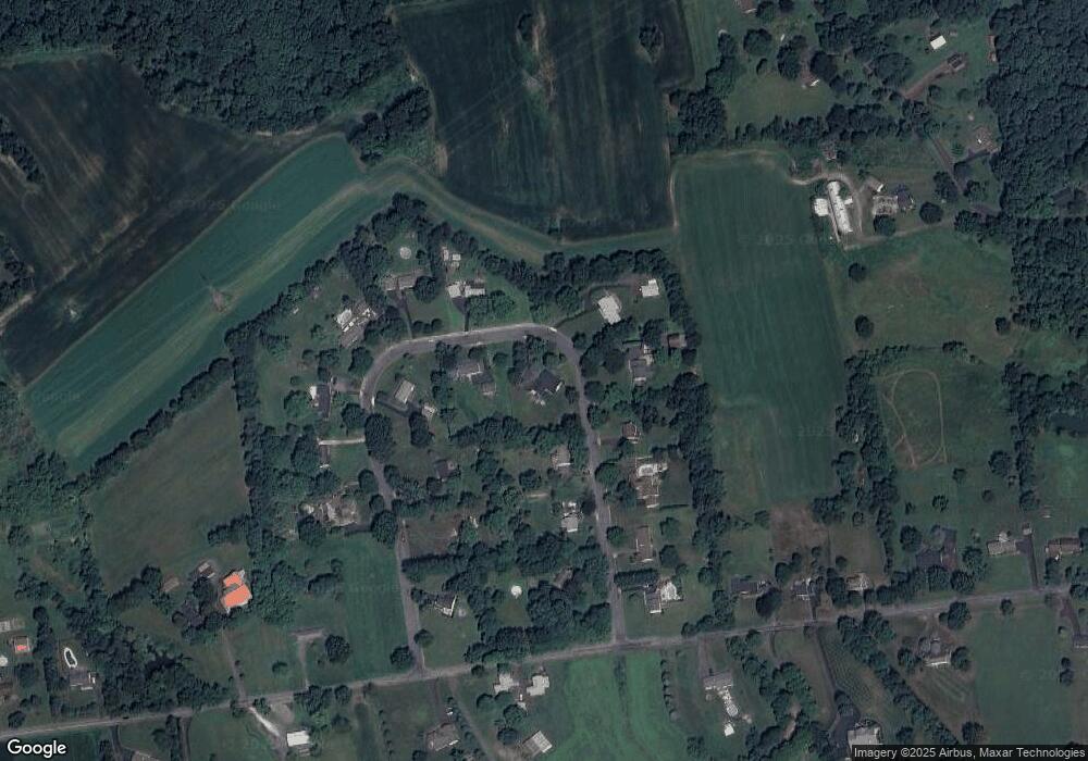
Map
Nearby Homes
- 7338 Grant Rd
- 6923 Blue Church Rd S
- 7512 S Main St
- 4910 Brookside Ct
- 6551 Blue Church Rd S
- 1525 Clay Ave
- 7555 Clayton Ave
- 168 Ashford Dr
- 5871 Applebutter Hill
- 132 Ashford Dr Unit HOMESITE 20
- 114 Ashford Dr
- 126 Ashford Dr
- 120 Ashford Dr Unit HOMESITE 0002
- 132 Ashford Dr Unit HOMESITE 0020
- 173 Ashford Dr
- 167 Ashford Dr
- 0 E Cherry Rd Unit PABU2108282
- 6532 Blue Church Rd S
- 112 Young Ave
- 818 W Station Ave
- 3115 Trolley Bridge Cir
- 3085 Trolley Bridge Cir
- 3035 Trolley Bridge Cir
- 3110 Trolley Bridge Cir
- 3045 Trolley Bridge Cir
- 3080 Trolley Bridge Cir
- 3100 Trolley Bridge Cir
- 3125 Trolley Bridge Cir
- 3090 Trolley Bridge Cir
- 3050 Trolley Bridge Cir
- 3120 Trolley Bridge Cir
- 3070 Trolley Bridge Cir
- 3130 Trolley Bridge Cir
- 3030 Trolley Bridge Cir
- 2210 Trolley Bridge Rd
- 3020 Trolley Bridge Cir
- 3060 Trolley Bridge Cir
- 3040 Trolley Bridge Cir
- 3015 Trolley Bridge Cir
- 3140 Trolley Bridge Cir