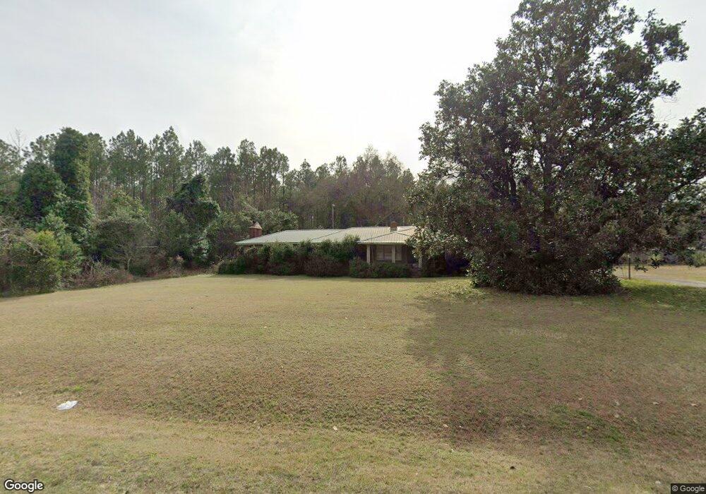
3099 Ga Highway 29 S Rockledge, GA 30454
Estimated Value: $133,000 - $198,000
--
Bed
2
Baths
1,955
Sq Ft
$82/Sq Ft
Est. Value
About This Home
This home is located at 3099 Ga Highway 29 S, Rockledge, GA 30454 and is currently estimated at $160,412, approximately $82 per square foot. 3099 Ga Highway 29 S is a home located in Laurens County with nearby schools including Southwest Laurens Elementary School, Northwest Laurens Elementary School, and East Laurens Primary School.
Ownership History
Date
Name
Owned For
Owner Type
Purchase Details
Closed on
Feb 1, 2005
Sold by
Young Derrick A
Bought by
Moody Brian Chris and Moody Stephanie Y
Current Estimated Value
Purchase Details
Closed on
Oct 31, 1996
Sold by
Couey Shirley Gene
Bought by
Young Derrick A and Young Ja
Purchase Details
Closed on
Oct 12, 1994
Sold by
Ensley Thomas Harold
Create a Home Valuation Report for This Property
The Home Valuation Report is an in-depth analysis detailing your home's value as well as a comparison with similar homes in the area
Home Values in the Area
Average Home Value in this Area
Purchase History
| Date | Buyer | Sale Price | Title Company |
|---|---|---|---|
| Moody Brian Chris | $96,000 | -- | |
| Young Derrick A | -- | -- | |
| -- | $61,500 | -- |
Source: Public Records
Tax History Compared to Growth
Tax History
| Year | Tax Paid | Tax Assessment Tax Assessment Total Assessment is a certain percentage of the fair market value that is determined by local assessors to be the total taxable value of land and additions on the property. | Land | Improvement |
|---|---|---|---|---|
| 2024 | $779 | $39,018 | $1,601 | $37,417 |
| 2023 | $738 | $36,745 | $1,601 | $35,144 |
| 2022 | $787 | $36,698 | $1,554 | $35,144 |
| 2021 | $917 | $41,765 | $2,458 | $39,307 |
| 2020 | $918 | $41,765 | $2,458 | $39,307 |
| 2019 | $919 | $41,765 | $2,458 | $39,307 |
| 2018 | $920 | $41,765 | $2,458 | $39,307 |
| 2017 | $919 | $41,765 | $2,458 | $39,307 |
| 2016 | $920 | $41,765 | $2,458 | $39,307 |
| 2015 | $920 | $41,765 | $2,458 | $39,307 |
| 2014 | $836 | $37,054 | $1,805 | $35,248 |
Source: Public Records
Map
Nearby Homes
- 0 Lake Helen Loop Unit 10640271
- 0 Knox Mill Rd Unit 10640244
- 0 Muskogee Trail Unit 25917
- 0 Muskogee Trail Unit LOT 78 20128125
- 843 Daniel Mimbs Rd
- NA Rd
- 2618 Georgia 86
- 859 Silver Rd
- 0 Pendleton Creek Rd Unit SA340356
- 0 Poplar Springs Church Rd Unit 10557967
- 00 Poplar Springs Church Rd
- Pendleton Rreek Rd
- 0 Branch Rd Unit 11346751
- 0 Branch Rd Unit 22915184
- 4687 W Main St
- 481 Windmill Way
- 7586 Eastman Rd
- 4281 Ga Highway 46
- 46 Georgia 46
- 4281 Sr-46
- 3098 Ga Highway 29 S
- 3112 Ga Highway 29 S
- 3112 Ga Highway 29 S
- 1617 Church Loop Rd
- 1683 Church Loop Rd
- 1640 Church Loop Rd
- 3112 Georgia 29
- 1691 Church Loop Rd
- 3063 Ga Highway 29 S
- 1679 Church Loop Rd
- 1699 Church Loop Rd
- 0 S Hwy 29 Unit 7447283
- 1673 Church Loop Rd
- 1682 Church Loop Rd
- 1636 Church Loop Rd
- 1692 Church Loop Rd
- 1651 Church Loop Rd
- 1661 Church Loop Rd
- 1638 Church Loop Rd
- 2119 Rockledge Rd