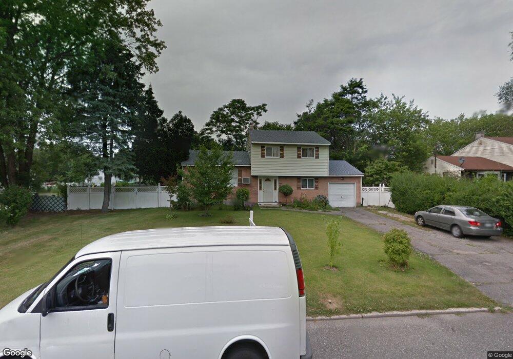
31 9th Ave Brentwood, NY 11717
Estimated Value: $572,000 - $716,000
--
Bed
--
Bath
--
Sq Ft
0.31
Acres
About This Home
This home is located at 31 9th Ave, Brentwood, NY 11717 and is currently estimated at $623,563. 31 9th Ave is a home located in Suffolk County with nearby schools including MDQ Academy.
Ownership History
Date
Name
Owned For
Owner Type
Purchase Details
Closed on
Jan 7, 2005
Sold by
Erd Raymond
Bought by
Richter David
Current Estimated Value
Purchase Details
Closed on
Jul 23, 1999
Sold by
Alexander George L
Bought by
Arciles Maria and Rivera Pablo
Home Financials for this Owner
Home Financials are based on the most recent Mortgage that was taken out on this home.
Original Mortgage
$143,110
Interest Rate
7.54%
Mortgage Type
FHA
Purchase Details
Closed on
Oct 16, 1996
Sold by
Mastermaker Henry D and Mastermaker Doreen
Bought by
Alexander George L
Create a Home Valuation Report for This Property
The Home Valuation Report is an in-depth analysis detailing your home's value as well as a comparison with similar homes in the area
Home Values in the Area
Average Home Value in this Area
Purchase History
| Date | Buyer | Sale Price | Title Company |
|---|---|---|---|
| Richter David | $20,000 | Ian Wilder | |
| Arciles Maria | $145,000 | -- | |
| Alexander George L | $129,000 | -- |
Source: Public Records
Mortgage History
| Date | Status | Borrower | Loan Amount |
|---|---|---|---|
| Previous Owner | Arciles Maria | $143,110 |
Source: Public Records
Tax History Compared to Growth
Tax History
| Year | Tax Paid | Tax Assessment Tax Assessment Total Assessment is a certain percentage of the fair market value that is determined by local assessors to be the total taxable value of land and additions on the property. | Land | Improvement |
|---|---|---|---|---|
| 2024 | -- | $28,500 | $7,200 | $21,300 |
| 2023 | -- | $28,500 | $7,200 | $21,300 |
| 2022 | $5,519 | $28,500 | $7,200 | $21,300 |
| 2021 | $5,519 | $28,500 | $7,200 | $21,300 |
| 2020 | $5,792 | $28,500 | $7,200 | $21,300 |
| 2019 | $5,519 | $28,500 | $7,200 | $21,300 |
| 2018 | -- | $28,500 | $7,200 | $21,300 |
| 2017 | $5,588 | $28,500 | $7,200 | $21,300 |
| 2016 | $5,527 | $28,500 | $7,200 | $21,300 |
| 2015 | -- | $28,500 | $7,200 | $21,300 |
| 2014 | -- | $28,500 | $7,200 | $21,300 |
Source: Public Records
Map
Nearby Homes
- 36 7th Ave
- 47 Owens St
- 36 S 5th Ave
- 1776 Stein Dr
- 1620 Brentwood Rd
- 9 Laurie Rd
- 25 Candlewood Rd
- 39 Inchcape Rd
- 10 Laurie Rd
- 51 Bruce Ln
- 50 Montauk Ave
- 786 4th Ave
- 365 American Blvd Unit 365-1
- 60 New Hampshire Ave
- 1796 Wells Dr
- 1655 Stein Dr
- 9 Oklahoma Ave
- 0 Spruce St
- 205 Hilltop Dr
- 128 New York Ave