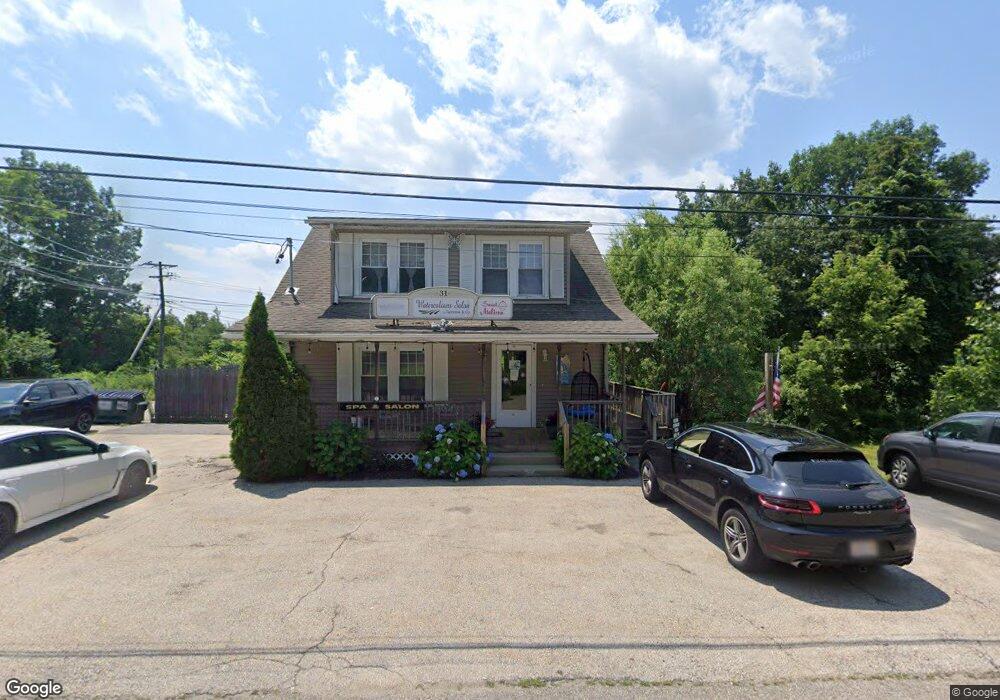
31 Adams Rd Unit 2 Holden, MA 01520
Estimated Value: $214,972
3
Beds
1
Bath
1,253
Sq Ft
$172/Sq Ft
Est. Value
About This Home
This home is located at 31 Adams Rd Unit 2, Holden, MA 01520 and is currently estimated at $214,972, approximately $171 per square foot. 31 Adams Rd Unit 2 is a home located in Worcester County with nearby schools including Wachusett Regional High School, Holden Christian Academy, and Bancroft School.
Ownership History
Date
Name
Owned For
Owner Type
Purchase Details
Closed on
Jan 20, 2012
Sold by
Kent Mark S and Kent Tammie M
Bought by
Drelinger Joseph and Kent Tammie M
Current Estimated Value
Home Financials for this Owner
Home Financials are based on the most recent Mortgage that was taken out on this home.
Original Mortgage
$70,000
Outstanding Balance
$47,990
Interest Rate
3.98%
Mortgage Type
Commercial
Estimated Equity
$166,982
Purchase Details
Closed on
Aug 18, 1997
Sold by
Mitchell William and Mitchell Ronald
Bought by
Kent Mark S and Kent Tammie M
Create a Home Valuation Report for This Property
The Home Valuation Report is an in-depth analysis detailing your home's value as well as a comparison with similar homes in the area
Home Values in the Area
Average Home Value in this Area
Purchase History
| Date | Buyer | Sale Price | Title Company |
|---|---|---|---|
| Drelinger Joseph | $30,000 | -- | |
| Drelinger Joseph | $30,000 | -- | |
| Kent Mark S | $50,000 | -- | |
| Kent Mark S | $50,000 | -- |
Source: Public Records
Mortgage History
| Date | Status | Borrower | Loan Amount |
|---|---|---|---|
| Open | Kent Mark S | $70,000 | |
| Closed | Kent Mark S | $70,000 | |
| Previous Owner | Kent Mark S | $20,000 |
Source: Public Records
Tax History Compared to Growth
Tax History
| Year | Tax Paid | Tax Assessment Tax Assessment Total Assessment is a certain percentage of the fair market value that is determined by local assessors to be the total taxable value of land and additions on the property. | Land | Improvement |
|---|---|---|---|---|
| 2025 | $2,459 | $177,400 | $33,600 | $143,800 |
| 2024 | $2,456 | $173,600 | $32,600 | $141,000 |
| 2023 | $2,503 | $167,000 | $32,600 | $134,400 |
| 2022 | $2,603 | $157,200 | $31,000 | $126,200 |
| 2021 | $2,688 | $154,500 | $31,000 | $123,500 |
| 2020 | $2,603 | $153,100 | $31,000 | $122,100 |
| 2019 | $2,600 | $149,000 | $31,000 | $118,000 |
| 2018 | $2,576 | $146,300 | $31,000 | $115,300 |
| 2017 | $2,477 | $140,800 | $31,000 | $109,800 |
| 2016 | $2,272 | $131,700 | $31,000 | $100,700 |
| 2015 | $2,386 | $131,700 | $31,000 | $100,700 |
| 2014 | $2,338 | $131,700 | $31,000 | $100,700 |
Source: Public Records
Map
Nearby Homes
- 8 (Lot 1) Holmes Dr
- 206 Wachusett St
- 160 Shrewsbury St
- 47 Banbury Ln
- 8 Dawson Cir
- 23 Gail Dr
- 81 Mount View Dr
- 250 Shrewsbury St
- 33 Meadow Wood Dr
- 314 Main St
- 9 Holmes Dr
- 48 Lexington Cir
- 9 Birchwood Dr
- 7 Holmes Dr
- 300 Malden St
- 168 Twinbrooke Dr
- 124 Bailey Rd
- 15 Lowell Ave
- 189 Holden St
- 289 Bailey Rd
- 31 Adams Rd
- 624 Main St
- 1712-1714 Main St
- 676 Main St
- 551 Main St
- 695 Main St
- 0NE Zottoli Rd
- 694 Main St
- 65 Wachusett St (Lot #29)
- 697 Main St
- 1 Zottoli Rd
- 66 Wachusett St (Lot #30)
- 56 Wachusett St
- 54 Wachusett St
- 47 Wachusett St
- 17 Wachusett St
- 3 Wachusett St
- 1 Wachusett St
- 34 Lincoln Ave
- A Wachusett St