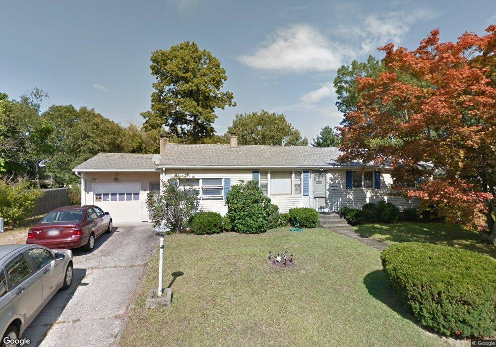
31 Alabama Ave Warwick, RI 02888
Lincoln Park NeighborhoodEstimated Value: $419,000 - $486,000
3
Beds
1
Bath
2,779
Sq Ft
$160/Sq Ft
Est. Value
About This Home
This home is located at 31 Alabama Ave, Warwick, RI 02888 and is currently estimated at $445,108, approximately $160 per square foot. 31 Alabama Ave is a home located in Kent County with nearby schools including Nel/Cps Construction Career, St Rose Of Lima School, and St. Peter School.
Ownership History
Date
Name
Owned For
Owner Type
Purchase Details
Closed on
Feb 19, 2020
Sold by
Lo Chuen and Lo Lisa M
Bought by
Lo Lisa M
Current Estimated Value
Purchase Details
Closed on
Feb 29, 2012
Sold by
Lo Chuen and Lo Wan Kuen
Bought by
Lo Chuen and Lo Wan Kuen
Purchase Details
Closed on
May 1, 2002
Sold by
Lo Chven and Lam Wan Kuen
Bought by
Lo Lisa M
Create a Home Valuation Report for This Property
The Home Valuation Report is an in-depth analysis detailing your home's value as well as a comparison with similar homes in the area
Home Values in the Area
Average Home Value in this Area
Purchase History
| Date | Buyer | Sale Price | Title Company |
|---|---|---|---|
| Lo Lisa M | -- | None Available | |
| Lo Chuen | -- | -- | |
| Lo Lisa M | $150,000 | -- | |
| Lo Chuen | -- | -- | |
| Lo Lisa M | $150,000 | -- |
Source: Public Records
Mortgage History
| Date | Status | Borrower | Loan Amount |
|---|---|---|---|
| Previous Owner | Lo Lisa M | $181,500 | |
| Previous Owner | Lo Lisa M | $200,000 | |
| Previous Owner | Lo Lisa M | $140,500 |
Source: Public Records
Tax History Compared to Growth
Tax History
| Year | Tax Paid | Tax Assessment Tax Assessment Total Assessment is a certain percentage of the fair market value that is determined by local assessors to be the total taxable value of land and additions on the property. | Land | Improvement |
|---|---|---|---|---|
| 2025 | $4,618 | $363,600 | $101,800 | $261,800 |
| 2024 | $4,726 | $326,600 | $88,500 | $238,100 |
| 2023 | $4,634 | $326,600 | $88,500 | $238,100 |
| 2022 | $4,402 | $235,000 | $57,700 | $177,300 |
| 2021 | $4,402 | $235,000 | $57,700 | $177,300 |
| 2020 | $4,402 | $235,000 | $57,700 | $177,300 |
| 2019 | $4,402 | $235,000 | $57,700 | $177,300 |
| 2018 | $3,917 | $188,300 | $57,700 | $130,600 |
| 2017 | $3,811 | $188,300 | $57,700 | $130,600 |
| 2016 | $3,811 | $188,300 | $57,700 | $130,600 |
| 2015 | $3,341 | $161,000 | $51,000 | $110,000 |
| 2014 | $3,230 | $161,000 | $51,000 | $110,000 |
| 2013 | $3,186 | $161,000 | $51,000 | $110,000 |
Source: Public Records
Map
Nearby Homes
- 76 Massachusetts Ave
- 77 Kentucky Ave
- 93 Grotto Ave
- 396 Elm St
- 1153 Post Rd
- 63 Massasoit Dr
- 447 Harrington Ave
- 1052 Post Rd
- 27 Frederick St
- 169 Partition St
- 126 Fairfax Dr
- 93 Easton Ave
- 35 Welfare Ave
- 56 Partition St
- 40 Easton Ave
- 33 Hargraves St
- 35 Manson Ave
- 144 Hoxsie Ave
- 110 Pilgrim Pkwy Unit 8
- 341 Sumner Ave