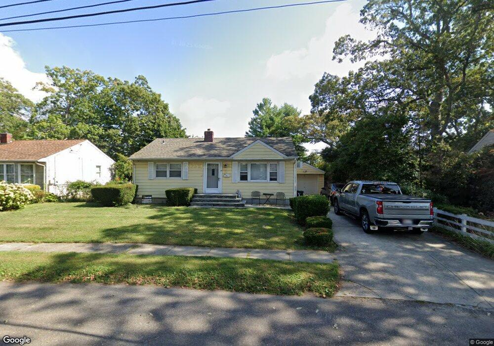
31 Anchor Ct West Babylon, NY 11704
Estimated Value: $586,000 - $619,093
3
Beds
1
Bath
936
Sq Ft
$646/Sq Ft
Est. Value
About This Home
This home is located at 31 Anchor Ct, West Babylon, NY 11704 and is currently estimated at $604,273, approximately $645 per square foot. 31 Anchor Ct is a home located in Suffolk County with nearby schools including West Babylon Senior High School.
Ownership History
Date
Name
Owned For
Owner Type
Purchase Details
Closed on
May 2, 2017
Sold by
Grossman Mahesh Steven and Louie Family Irrevocable Trust
Bought by
Gandiosi Frank and Louie Chun Kuk
Current Estimated Value
Home Financials for this Owner
Home Financials are based on the most recent Mortgage that was taken out on this home.
Original Mortgage
$8,595
Outstanding Balance
$7,161
Interest Rate
4.08%
Mortgage Type
Unknown
Estimated Equity
$597,112
Purchase Details
Closed on
Nov 1, 2013
Sold by
Louie George W and Louie Chun Kuk
Bought by
Grossman Mahesh Steven
Create a Home Valuation Report for This Property
The Home Valuation Report is an in-depth analysis detailing your home's value as well as a comparison with similar homes in the area
Home Values in the Area
Average Home Value in this Area
Purchase History
| Date | Buyer | Sale Price | Title Company |
|---|---|---|---|
| Gandiosi Frank | $286,500 | None Available | |
| Grossman Mahesh Steven | -- | -- |
Source: Public Records
Mortgage History
| Date | Status | Borrower | Loan Amount |
|---|---|---|---|
| Open | Gandiosi Frank | $8,595 | |
| Open | Gandiosi Frank | $326,274 |
Source: Public Records
Tax History Compared to Growth
Tax History
| Year | Tax Paid | Tax Assessment Tax Assessment Total Assessment is a certain percentage of the fair market value that is determined by local assessors to be the total taxable value of land and additions on the property. | Land | Improvement |
|---|---|---|---|---|
| 2024 | $8,709 | $2,570 | $260 | $2,310 |
| 2023 | $8,709 | $2,570 | $260 | $2,310 |
| 2022 | $7,175 | $2,570 | $260 | $2,310 |
| 2021 | $7,175 | $2,570 | $260 | $2,310 |
| 2020 | $7,807 | $2,570 | $260 | $2,310 |
| 2019 | $7,807 | $0 | $0 | $0 |
| 2018 | $7,009 | $2,570 | $260 | $2,310 |
| 2017 | $7,009 | $2,570 | $260 | $2,310 |
| 2016 | $7,092 | $2,570 | $260 | $2,310 |
| 2015 | -- | $2,570 | $260 | $2,310 |
| 2014 | -- | $2,570 | $260 | $2,310 |
Source: Public Records
Map
Nearby Homes
- 162 Millard Ave Unit 162
- 600 Little East Neck Rd
- 27 E Neck Ct
- 5 Petersen Ct Unit 5
- 26 Sawyer Ave
- 79 Woodrow Pkwy
- 1 Puritan Place
- 805 Arlington Rd
- 792 Glendale Rd
- 7 Rosella Ct
- 833 Bermuda Rd
- 29 Bailey Ave
- 72 Nehring Ave
- 7 Bailey Ave
- 825 Weber Ave
- 1701 Alto St
- 145 Old Farmingdale Rd
- 252 Locust Ave
- 246 Locust Ave
- 227 N Railroad Ave