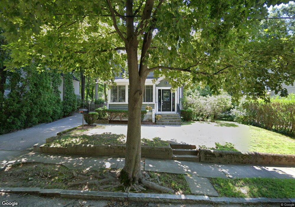
31 Auburn St Reading, MA 01867
Estimated Value: $675,000 - $1,580,000
3
Beds
1
Bath
1,056
Sq Ft
$884/Sq Ft
Est. Value
About This Home
This home is located at 31 Auburn St, Reading, MA 01867 and is currently estimated at $934,019, approximately $884 per square foot. 31 Auburn St is a home located in Middlesex County with nearby schools including Birch Meadow Elementary School, Arthur W. Coolidge Middle School, and Reading Memorial High School.
Ownership History
Date
Name
Owned For
Owner Type
Purchase Details
Closed on
Mar 26, 2002
Sold by
Segalla Mark D and Segalla Julie Ann
Bought by
Nickerson Michael D and Rosenblatt Karen P
Current Estimated Value
Home Financials for this Owner
Home Financials are based on the most recent Mortgage that was taken out on this home.
Original Mortgage
$294,500
Interest Rate
6.91%
Mortgage Type
Purchase Money Mortgage
Purchase Details
Closed on
Sep 17, 1999
Sold by
Arnold Ian S and Ross Alicia M
Bought by
Segalla Mark D
Purchase Details
Closed on
Dec 29, 1995
Sold by
Murphy Peter E and Murphy Christine D
Bought by
Arnold Ian S and Ross Alicia M
Purchase Details
Closed on
Jan 19, 1994
Sold by
Thurnauer Maureen and Thurnauer Andrew
Bought by
Murphy Peter E and Murphy Christine D
Create a Home Valuation Report for This Property
The Home Valuation Report is an in-depth analysis detailing your home's value as well as a comparison with similar homes in the area
Home Values in the Area
Average Home Value in this Area
Purchase History
| Date | Buyer | Sale Price | Title Company |
|---|---|---|---|
| Nickerson Michael D | $310,000 | -- | |
| Segalla Mark D | $222,000 | -- | |
| Arnold Ian S | $181,000 | -- | |
| Murphy Peter E | $168,500 | -- |
Source: Public Records
Mortgage History
| Date | Status | Borrower | Loan Amount |
|---|---|---|---|
| Open | Murphy Peter E | $262,500 | |
| Closed | Nickerson Michael D | $294,500 | |
| Previous Owner | Murphy Peter E | $220,000 |
Source: Public Records
Tax History
| Year | Tax Paid | Tax Assessment Tax Assessment Total Assessment is a certain percentage of the fair market value that is determined by local assessors to be the total taxable value of land and additions on the property. | Land | Improvement |
|---|---|---|---|---|
| 2025 | $7,561 | $663,800 | $438,000 | $225,800 |
| 2024 | $7,648 | $652,600 | $430,600 | $222,000 |
| 2023 | $7,742 | $614,900 | $405,700 | $209,200 |
| 2022 | $7,501 | $562,700 | $371,200 | $191,500 |
| 2021 | $6,873 | $497,700 | $320,100 | $177,600 |
| 2020 | $6,720 | $481,700 | $309,800 | $171,900 |
| 2019 | $6,426 | $451,600 | $290,400 | $161,200 |
| 2018 | $5,963 | $429,900 | $276,500 | $153,400 |
| 2017 | $5,633 | $401,500 | $258,200 | $143,300 |
| 2016 | $5,691 | $392,500 | $259,100 | $133,400 |
| 2015 | $5,493 | $373,700 | $246,700 | $127,000 |
| 2014 | $5,119 | $347,300 | $229,500 | $117,800 |
Source: Public Records
Map
Nearby Homes
- 35 Longfellow Rd
- 863 Main St
- 64 Longfellow Rd
- 52 Sanborn St Unit 7
- 89 Grand St
- 5 Washington St Unit D4
- 69 Ash St
- 48 Village St Unit 1001
- 103 Orange St
- 115 Forest St
- 41 Winter St
- 24 Smith Ave
- 100 Prescott St
- 34 Plymouth Rd
- 43 Ashley Place
- 101 King St Unit 101
- 45 Longview Rd
- 3 Carnation Cir Unit C
- 150 Grove St
- 37 Fremont St
Your Personal Tour Guide
Ask me questions while you tour the home.