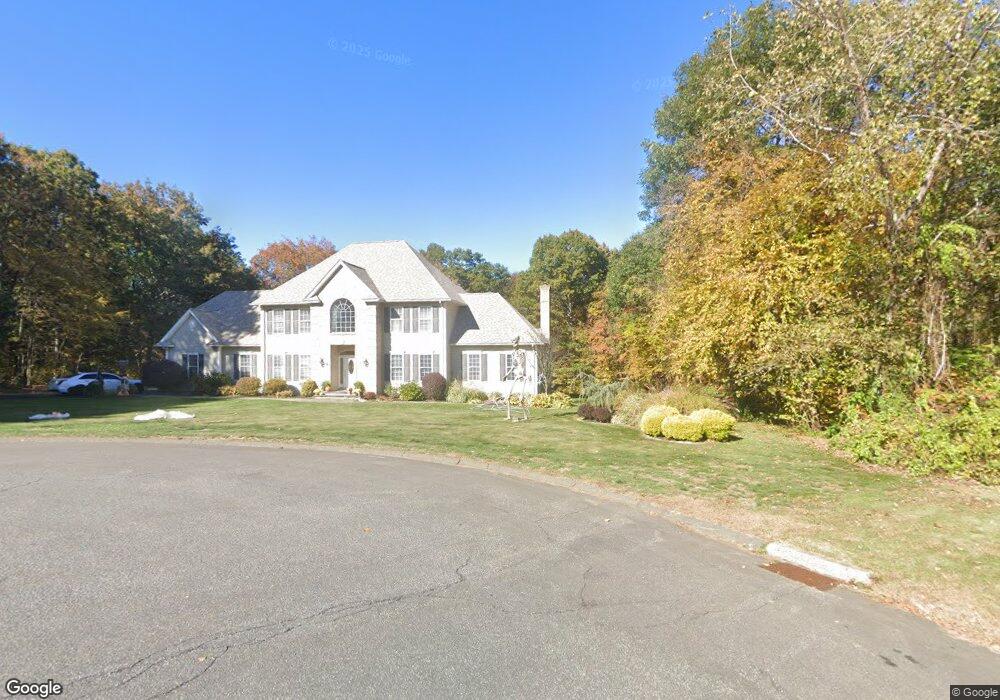
31 Bergen Ln Wolcott, CT 06716
Estimated Value: $576,000 - $748,000
3
Beds
3
Baths
2,700
Sq Ft
$246/Sq Ft
Est. Value
About This Home
This home is located at 31 Bergen Ln, Wolcott, CT 06716 and is currently estimated at $663,995, approximately $245 per square foot. 31 Bergen Ln is a home located in New Haven County with nearby schools including Tyrrell Middle School and Wolcott High School.
Ownership History
Date
Name
Owned For
Owner Type
Purchase Details
Closed on
Mar 5, 2002
Sold by
Spectrum Sq Llc
Bought by
Deleo Michael and Mancini Louise
Current Estimated Value
Create a Home Valuation Report for This Property
The Home Valuation Report is an in-depth analysis detailing your home's value as well as a comparison with similar homes in the area
Home Values in the Area
Average Home Value in this Area
Purchase History
| Date | Buyer | Sale Price | Title Company |
|---|---|---|---|
| Deleo Michael | $99,900 | -- |
Source: Public Records
Mortgage History
| Date | Status | Borrower | Loan Amount |
|---|---|---|---|
| Open | Deleo Michael | $180,000 | |
| Closed | Deleo Michael | $185,000 | |
| Closed | Deleo Michael | $185,000 |
Source: Public Records
Tax History Compared to Growth
Tax History
| Year | Tax Paid | Tax Assessment Tax Assessment Total Assessment is a certain percentage of the fair market value that is determined by local assessors to be the total taxable value of land and additions on the property. | Land | Improvement |
|---|---|---|---|---|
| 2025 | $11,841 | $329,570 | $99,570 | $230,000 |
| 2024 | $10,899 | $329,570 | $99,570 | $230,000 |
| 2023 | $10,503 | $329,570 | $99,570 | $230,000 |
| 2022 | $10,151 | $329,570 | $99,570 | $230,000 |
| 2021 | $10,262 | $309,670 | $99,780 | $209,890 |
| 2020 | $10,262 | $309,670 | $99,780 | $209,890 |
| 2019 | $10,262 | $309,670 | $99,780 | $209,890 |
| 2018 | $9,971 | $309,670 | $99,780 | $209,890 |
| 2017 | $9,683 | $309,670 | $99,780 | $209,890 |
| 2016 | $9,404 | $325,280 | $95,060 | $230,220 |
| 2015 | $9,134 | $325,280 | $95,060 | $230,220 |
| 2014 | $8,838 | $325,280 | $95,060 | $230,220 |
Source: Public Records
Map
Nearby Homes
- 26 Bergen Ln
- 0 Bound Line Rd Unit 170253486
- 87 Ransom Hall Rd
- 13 Margaret Terrace
- 143 Bound Line Rd
- 00 Woodtick Rd
- 0 Coe Rd
- 77 S Colman Rd
- 2 Old Farms Rd
- 1209 Woodtick Rd
- 20 Upson Rd
- 1038 Woodtick Rd
- 8 Ranslow Dr
- 160 Brooks Hill Rd
- 0 Woodtick Rd Unit 24119429
- 20 Wolf Hill Rd Unit 4D
- 2 Red Fox Run
- 210 Munson Rd Unit 2-D
- 210 Munson Rd Unit 2-B
- 210 Munson Rd Unit 2-F