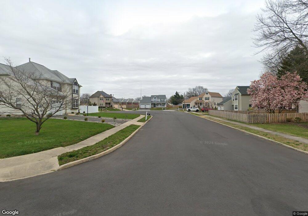
31 Birchly Ct West Deptford, NJ 08093
West Deptford Township NeighborhoodEstimated Value: $311,000 - $430,000
--
Bed
--
Bath
2,040
Sq Ft
$187/Sq Ft
Est. Value
About This Home
This home is located at 31 Birchly Ct, West Deptford, NJ 08093 and is currently estimated at $381,520, approximately $187 per square foot. 31 Birchly Ct is a home located in Gloucester County with nearby schools including Oakview Elementary School, Red Bank Elementary School, and Green-Fields Elementary School.
Ownership History
Date
Name
Owned For
Owner Type
Purchase Details
Closed on
Dec 16, 2021
Sold by
Wade Leah L
Bought by
Wade Allison
Current Estimated Value
Home Financials for this Owner
Home Financials are based on the most recent Mortgage that was taken out on this home.
Original Mortgage
$168,000
Outstanding Balance
$154,474
Interest Rate
3.09%
Mortgage Type
New Conventional
Estimated Equity
$227,046
Purchase Details
Closed on
Jan 12, 1990
Bought by
Wade Theodore P and Wade Leah L
Create a Home Valuation Report for This Property
The Home Valuation Report is an in-depth analysis detailing your home's value as well as a comparison with similar homes in the area
Home Values in the Area
Average Home Value in this Area
Purchase History
| Date | Buyer | Sale Price | Title Company |
|---|---|---|---|
| Wade Allison | $210,000 | Chicago Title Insurance Co | |
| Wade Theodore P | $155,000 | -- |
Source: Public Records
Mortgage History
| Date | Status | Borrower | Loan Amount |
|---|---|---|---|
| Open | Wade Allison | $168,000 |
Source: Public Records
Tax History Compared to Growth
Tax History
| Year | Tax Paid | Tax Assessment Tax Assessment Total Assessment is a certain percentage of the fair market value that is determined by local assessors to be the total taxable value of land and additions on the property. | Land | Improvement |
|---|---|---|---|---|
| 2025 | $8,224 | $235,500 | $67,400 | $168,100 |
| 2024 | $8,118 | $235,500 | $67,400 | $168,100 |
| 2023 | $8,118 | $235,500 | $67,400 | $168,100 |
| 2022 | $8,080 | $235,500 | $67,400 | $168,100 |
| 2021 | $7,492 | $235,500 | $67,400 | $168,100 |
| 2020 | $8,033 | $235,500 | $67,400 | $168,100 |
| 2019 | $7,809 | $235,500 | $67,400 | $168,100 |
| 2018 | $7,597 | $235,500 | $67,400 | $168,100 |
| 2017 | $7,421 | $235,500 | $67,400 | $168,100 |
| 2016 | $7,213 | $235,500 | $67,400 | $168,100 |
| 2015 | $7,590 | $260,100 | $76,000 | $184,100 |
| 2014 | $7,213 | $260,100 | $76,000 | $184,100 |
Source: Public Records
Map
Nearby Homes
- 1009 Hessian Ave
- 1372 Riley Ave
- 1359 Crown Point Rd
- 1346 Verga Ave
- 1134 Brewer Ave
- 1174 Harker Ave
- 1156 Hessian Ave
- 1185 Lawnton Ave
- 815 Harker Ave
- 182 Covington Ln
- 210 Lawnton Ave
- 845 W Red Bank Ave
- 575 Lawnton Ave
- 1234 Lincoln Ave
- 719 Shields Ave
- 125 Crescent Ave
- 660 W Red Bank Ave
- 112 Progress Ave
- 57 Hessian Ave
- 121 Crescent Ave
- 29 Birchly Ct
- 33 Birchly Ct
- 15 Oakmont Ct
- 17 Oakmont Ct
- 27 Birchly Ct
- 35 Birchly Ct
- 19 Oakmont Ct
- 37 Birchly Ct
- 1409 Woodlane Dr
- 1411 Woodlane Dr
- 1407 Woodlane Dr
- 977 Hessian Ave
- 13 Oakmont Ct
- 1405 Woodlane Dr
- 21 Oakmont Ct
- 1403 Crown Point Rd
- 1403 Woodlane Dr
- 1399 Crown Point Rd
- 1446 Crown Point Rd
- 963 Hessian Ave