31 Birchmeadow Rd Merrimac, MA 01860
Estimated Value: $889,000 - $1,133,000
3
Beds
3
Baths
2,905
Sq Ft
$348/Sq Ft
Est. Value
About This Home
This home is located at 31 Birchmeadow Rd, Merrimac, MA 01860 and is currently estimated at $1,011,689, approximately $348 per square foot. 31 Birchmeadow Rd is a home located in Essex County with nearby schools including Pentucket Regional High School.
Ownership History
Date
Name
Owned For
Owner Type
Purchase Details
Closed on
Feb 8, 2013
Sold by
Hennessey Jeffrey P and Hennessey Sally J
Bought by
Hennessey Irt
Current Estimated Value
Purchase Details
Closed on
Apr 30, 1999
Sold by
Carris James P and Carris Donna M
Bought by
Hennessey Jeffrey P and Hennessey Sally J
Home Financials for this Owner
Home Financials are based on the most recent Mortgage that was taken out on this home.
Original Mortgage
$267,200
Interest Rate
6.95%
Mortgage Type
Purchase Money Mortgage
Purchase Details
Closed on
Aug 26, 1988
Sold by
Meadows Constr
Bought by
Carris James P
Home Financials for this Owner
Home Financials are based on the most recent Mortgage that was taken out on this home.
Original Mortgage
$256,000
Interest Rate
10.36%
Mortgage Type
Purchase Money Mortgage
Create a Home Valuation Report for This Property
The Home Valuation Report is an in-depth analysis detailing your home's value as well as a comparison with similar homes in the area
Home Values in the Area
Average Home Value in this Area
Purchase History
| Date | Buyer | Sale Price | Title Company |
|---|---|---|---|
| Hennessey Irt | -- | -- | |
| Hennessey Jeffrey P | $334,000 | -- | |
| Carris James P | $320,000 | -- |
Source: Public Records
Mortgage History
| Date | Status | Borrower | Loan Amount |
|---|---|---|---|
| Previous Owner | Carris James P | $35,000 | |
| Previous Owner | Carris James P | $267,200 | |
| Previous Owner | Carris James P | $256,000 |
Source: Public Records
Tax History Compared to Growth
Tax History
| Year | Tax Paid | Tax Assessment Tax Assessment Total Assessment is a certain percentage of the fair market value that is determined by local assessors to be the total taxable value of land and additions on the property. | Land | Improvement |
|---|---|---|---|---|
| 2025 | $11,127 | $839,800 | $397,100 | $442,700 |
| 2024 | $10,620 | $786,700 | $351,400 | $435,300 |
| 2023 | $9,965 | $674,700 | $316,600 | $358,100 |
| 2022 | $9,878 | $604,500 | $277,300 | $327,200 |
| 2021 | $9,040 | $554,600 | $233,800 | $320,800 |
| 2020 | $8,252 | $554,600 | $233,800 | $320,800 |
| 2019 | $7,794 | $493,000 | $198,900 | $294,100 |
| 2018 | $7,874 | $499,600 | $198,900 | $300,700 |
| 2017 | $7,469 | $457,100 | $172,800 | $284,300 |
| 2016 | $7,123 | $440,800 | $172,800 | $268,000 |
| 2015 | $6,513 | $400,800 | $168,400 | $232,400 |
| 2014 | $6,369 | $400,800 | $168,400 | $232,400 |
Source: Public Records
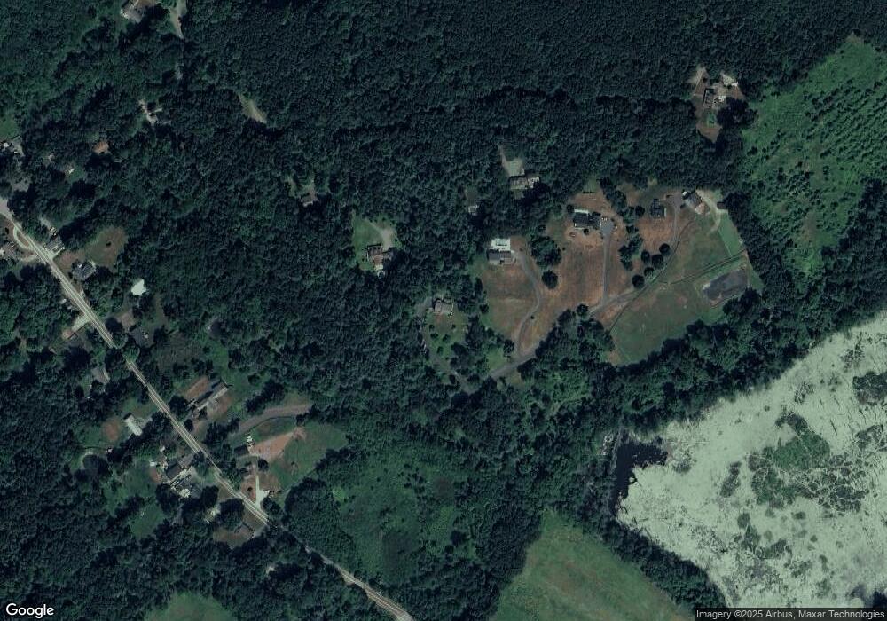
Map
Nearby Homes
- 29 Birchmeadow Rd
- 1 Kelly Way
- 3 Kelly Way
- 27 Birchmeadow Rd
- 27 Birch Meadow Rd
- 41 Birchmeadow Rd
- 39 Birch Meadow Rd
- 39 Birchmeadow Rd
- 25 Birchmeadow Rd
- 34 Birchmeadow Rd
- 36 Birchmeadow Rd
- 38 Birch Meadow Rd
- 40 Birchmeadow Rd
- 43 Birchmeadow Rd
- 40 Birch Meadow Rd
- 32 Birchmeadow Rd
- 38 Birchmeadow Rd
- 42 Birchmeadow Rd
- 44 Birchmeadow Rd
- 94 Birchmeadow Rd