Estimated Value: $1,436,000 - $1,933,000
2
Beds
3
Baths
1,816
Sq Ft
$925/Sq Ft
Est. Value
About This Home
This home is located at 31 Blueberry Ln, Wells, ME 04090 and is currently estimated at $1,680,062, approximately $925 per square foot. 31 Blueberry Ln is a home located in York County with nearby schools including Wells Junior High School, Wells Elementary School, and Wells High School.
Ownership History
Date
Name
Owned For
Owner Type
Purchase Details
Closed on
Mar 10, 2015
Sold by
Schlichte Mary B
Bought by
M B Schlichte T and Schlichte Mary B
Current Estimated Value
Purchase Details
Closed on
Jun 25, 2013
Sold by
Berry Albert E
Bought by
Schlichte Mary B
Purchase Details
Closed on
Apr 3, 2013
Sold by
Berry Brian K Est and Schlichte
Bought by
Berry Albert E
Create a Home Valuation Report for This Property
The Home Valuation Report is an in-depth analysis detailing your home's value as well as a comparison with similar homes in the area
Home Values in the Area
Average Home Value in this Area
Purchase History
| Date | Buyer | Sale Price | Title Company |
|---|---|---|---|
| M B Schlichte T | -- | -- | |
| B Schlichte T M | -- | -- | |
| Schlichte Mary B | -- | -- | |
| Schlichte Mary B | -- | -- | |
| Berry Albert E | -- | -- | |
| Berry Albert E | -- | -- |
Source: Public Records
Tax History Compared to Growth
Tax History
| Year | Tax Paid | Tax Assessment Tax Assessment Total Assessment is a certain percentage of the fair market value that is determined by local assessors to be the total taxable value of land and additions on the property. | Land | Improvement |
|---|---|---|---|---|
| 2024 | $11,022 | $1,812,880 | $1,463,010 | $349,870 |
| 2023 | $10,805 | $1,812,880 | $1,463,010 | $349,870 |
| 2022 | $8,641 | $826,130 | $618,520 | $207,610 |
| 2021 | $8,691 | $826,130 | $618,520 | $207,610 |
| 2020 | $8,658 | $826,130 | $618,520 | $207,610 |
| 2019 | $8,608 | $826,130 | $618,520 | $207,610 |
| 2018 | $8,526 | $826,130 | $618,520 | $207,610 |
| 2017 | $8,393 | $826,130 | $618,520 | $207,610 |
| 2016 | $8,311 | $826,130 | $618,520 | $207,610 |
| 2015 | $8,220 | $826,130 | $618,520 | $207,610 |
| 2013 | $7,162 | $785,260 | $618,520 | $166,740 |
Source: Public Records
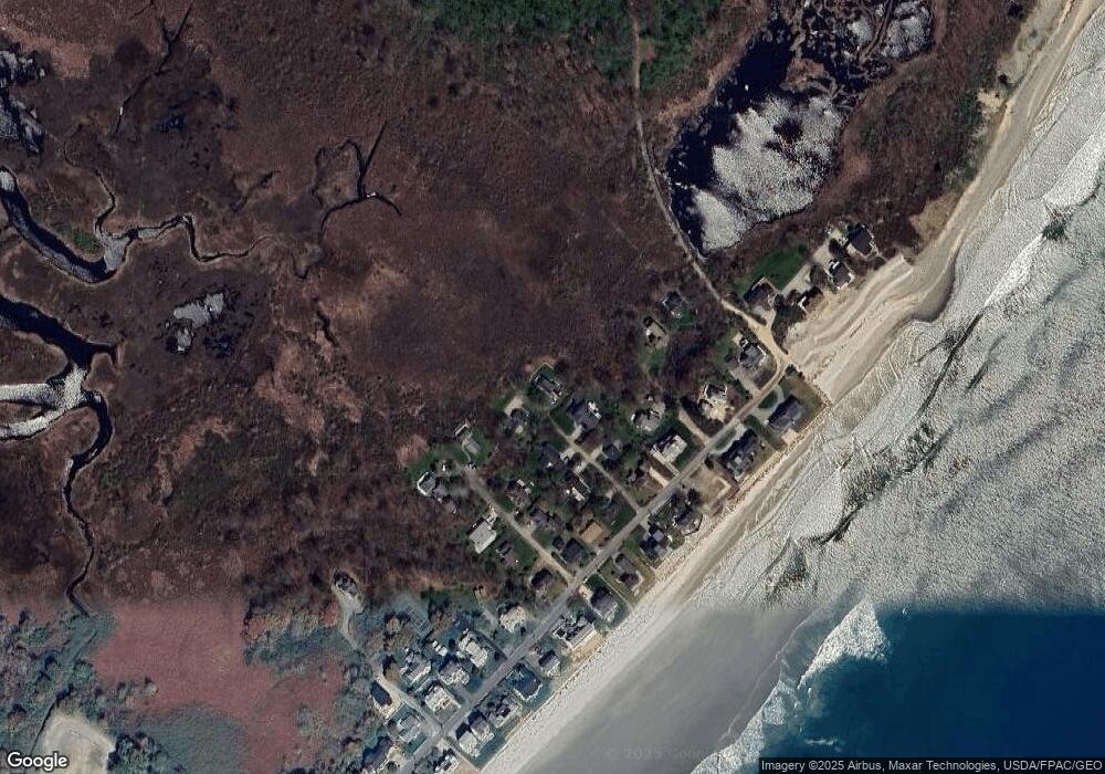
Map
Nearby Homes
- 238 Laudholm Farm Rd
- 163 Island Beach Rd
- 2073 Post Rd Unit 5
- 2090 Post Rd Unit 4B
- 50 Coles Hill Rd
- 66 Nicholas Dr
- 1830 Post Rd
- 500 Atlantic Ave Unit 2
- 1801 Post Rd Unit 174
- 1801 Post Rd Unit 190
- 1801 Post Rd Unit 180
- 43 Sylvan Way Unit 10
- 446 Atlantic Ave
- 1762 Post Rd Unit 209
- 35 Burnt Mill Rd Unit B
- 53 Hidden Brook Dr Unit 13
- 15 Heritage Dr Unit 15
- 102 Heron Landing Dr Unit 22
- 229 Atlantic Ave
- 225 Atlantic Ave
- 456 Drakes Island Rd
- 317 Laudholm Farm Rd
- 325 Laudholm Farm Rd
- 350 Laudholm Farm Rd
- 310 Drakes Island Rd
- 322 Drakes Island Rd
- 270 Laudholm Farm Rd
- 330 Drakes Island Rd
- 313 Drakes Island Rd
- 336 Drakes Island Rd
- 342 Drakes Island Rd
- 36 Saints Place
- 327 Drakes Island Rd
- 350 Drakes Island Rd
- 339 Drakes Island Rd
- 358 Drakes Island Rd
- 21 Blueberry Ln
- 34 Blueberry Ln
- 20 Old Farm Ln
- 347 Drakes Island Rd