31 Bluffs Ct Unit 1 Port Townsend, WA 98368
Kala Point NeighborhoodEstimated Value: $554,358 - $614,000
2
Beds
2
Baths
1,465
Sq Ft
$402/Sq Ft
Est. Value
About This Home
This home is located at 31 Bluffs Ct Unit 1, Port Townsend, WA 98368 and is currently estimated at $588,590, approximately $401 per square foot. 31 Bluffs Ct Unit 1 is a home located in Jefferson County with nearby schools including Salish Coast Elementary School, Blue Heron Middle School, and Port Townsend High School.
Ownership History
Date
Name
Owned For
Owner Type
Purchase Details
Closed on
Jun 15, 2015
Sold by
Stevenson Janet G
Bought by
Stevenson Janet Gholston
Current Estimated Value
Purchase Details
Closed on
Jul 17, 2012
Sold by
Stevenson Robert Milligan
Bought by
Stevenson Robert Milligan and Stevenson Janet Gholson
Create a Home Valuation Report for This Property
The Home Valuation Report is an in-depth analysis detailing your home's value as well as a comparison with similar homes in the area
Home Values in the Area
Average Home Value in this Area
Purchase History
| Date | Buyer | Sale Price | Title Company |
|---|---|---|---|
| Stevenson Janet Gholston | -- | None Available | |
| Stevenson Robert Milligan | -- | None Available |
Source: Public Records
Tax History Compared to Growth
Tax History
| Year | Tax Paid | Tax Assessment Tax Assessment Total Assessment is a certain percentage of the fair market value that is determined by local assessors to be the total taxable value of land and additions on the property. | Land | Improvement |
|---|---|---|---|---|
| 2024 | $4,545 | $559,470 | $200,000 | $359,470 |
| 2023 | $4,545 | $521,443 | $200,000 | $321,443 |
| 2022 | $3,965 | $475,512 | $195,000 | $280,512 |
| 2021 | $3,853 | $414,553 | $175,000 | $239,553 |
| 2020 | $3,951 | $378,006 | $167,200 | $210,806 |
| 2019 | $3,281 | $378,006 | $167,200 | $210,806 |
| 2018 | $3,555 | $334,586 | $152,000 | $182,586 |
| 2017 | $2,877 | $319,171 | $145,000 | $174,171 |
| 2016 | $2,752 | $274,252 | $145,000 | $129,252 |
| 2015 | $2,759 | $274,252 | $145,000 | $129,252 |
| 2014 | -- | $274,252 | $145,000 | $129,252 |
| 2013 | -- | $274,250 | $145,000 | $129,250 |
Source: Public Records
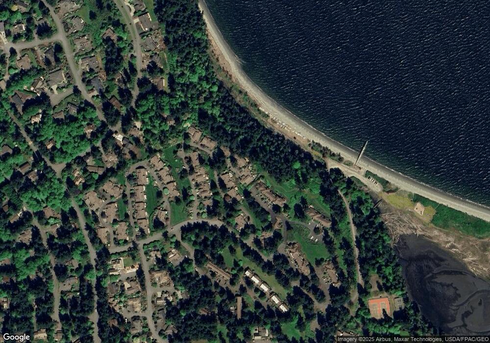
Map
Nearby Homes
- 31 -2 Bluffs Ct
- 190 Bluffs Dr Unit 1
- 261 Sailview Dr Unit 1
- 63 Bluffs Ln Unit 1
- 10 Windship Dr
- 999 Kala Lagoon Ct
- 75 Kala Lagoon Ct
- 28 Buckhorn Place
- 0 Buckhorn Place
- 273 Foxfield Dr
- 267 Foxfield Dr
- 82 S Victory Ave
- 0 N Andrew Ave
- 0 S Duquesne Ave
- 32 S Duquesne Ave
- 783 Prospect Ave
- 20 Seaview Ct Unit 1
- 593 Prospect Ave
- 225 Belvedere Dr
- 1291 Woodland Dr
- 141 Bluffs Dr Unit 2
- 141 Bluffs Dr
- 11 Bluffs Ln
- 50 Harborview Dr Unit 3
- 50 Harborview Dr Unit 4
- 50 Harborview Dr Unit 10
- 50 Harborview Dr
- 50 Harborview Dr
- 50 Harborview Dr
- 50 Harborview Dr
- 50 Harborview Dr
- 50 Harborview Dr
- 50 Harborview Dr
- 50 Harborview Dr
- 50 Harborview Dr
- 50 Harborview Dr
- 50 Harborview Dr Unit 6
- 190-1 Bluffs Dr