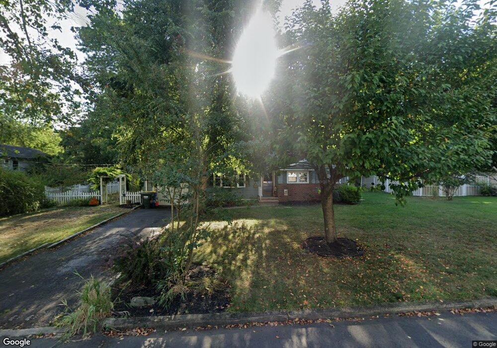
31 Briar Cir Green Brook, NJ 08812
Estimated Value: $549,000 - $584,000
Studio
--
Bath
1,777
Sq Ft
$318/Sq Ft
Est. Value
About This Home
This home is located at 31 Briar Cir, Green Brook, NJ 08812 and is currently estimated at $565,909, approximately $318 per square foot. 31 Briar Cir is a home located in Somerset County with nearby schools including Irene E. Feldkirchner Elementary School, Green Brook Middle School, and Watchung Hills Regional High School.
Ownership History
Date
Name
Owned For
Owner Type
Purchase Details
Closed on
Jul 22, 2005
Sold by
Mcdonough Michael C
Bought by
Sloop Alice K
Current Estimated Value
Home Financials for this Owner
Home Financials are based on the most recent Mortgage that was taken out on this home.
Original Mortgage
$223,000
Outstanding Balance
$116,484
Interest Rate
5.67%
Estimated Equity
$449,425
Purchase Details
Closed on
Nov 27, 2002
Sold by
Mcauley Eleanor
Bought by
Mcdonough Michael and Mcdonough Alice
Home Financials for this Owner
Home Financials are based on the most recent Mortgage that was taken out on this home.
Original Mortgage
$229,000
Interest Rate
6.34%
Purchase Details
Closed on
Jan 29, 1990
Sold by
Mcauley Archibald and Mcauley Eleanor
Bought by
Mccauley Archibald
Create a Home Valuation Report for This Property
The Home Valuation Report is an in-depth analysis detailing your home's value as well as a comparison with similar homes in the area
Home Values in the Area
Average Home Value in this Area
Purchase History
| Date | Buyer | Sale Price | Title Company |
|---|---|---|---|
| Sloop Alice K | -- | -- | |
| Mcdonough Michael | $309,000 | -- | |
| Mccauley Archibald | -- | -- |
Source: Public Records
Mortgage History
| Date | Status | Borrower | Loan Amount |
|---|---|---|---|
| Open | Sloop Alice K | $223,000 | |
| Previous Owner | Mcdonough Michael | $229,000 |
Source: Public Records
Tax History
| Year | Tax Paid | Tax Assessment Tax Assessment Total Assessment is a certain percentage of the fair market value that is determined by local assessors to be the total taxable value of land and additions on the property. | Land | Improvement |
|---|---|---|---|---|
| 2025 | $9,737 | $481,000 | $249,600 | $231,400 |
| 2024 | $9,737 | $439,800 | $209,000 | $230,800 |
| 2023 | $9,752 | $424,000 | $209,000 | $215,000 |
| 2022 | $10,294 | $437,500 | $209,000 | $228,500 |
| 2021 | $9,297 | $384,900 | $227,000 | $157,900 |
| 2020 | $9,340 | $356,200 | $227,000 | $129,200 |
| 2019 | $9,297 | $356,200 | $227,000 | $129,200 |
| 2018 | $8,718 | $336,200 | $207,000 | $129,200 |
| 2017 | $8,523 | $336,200 | $207,000 | $129,200 |
| 2016 | $8,139 | $326,200 | $197,000 | $129,200 |
| 2015 | $8,015 | $314,800 | $197,000 | $117,800 |
| 2014 | $8,018 | $314,800 | $197,000 | $117,800 |
Source: Public Records
Map
Nearby Homes
- 725 Anna Place
- 295 Tremont Ave
- 225 Lawrence Ave
- 705 Taft Ave
- 314 Tremont Ave
- 283 Arnold Ave
- 70 Everett Place Unit 72
- 632 Parkview Ave
- 639 Parkview Ave
- 1508 Myrtle Ave Unit 10
- 623 Parkview Ave
- 1300 Rock Ave
- 1300 Rock Ave Unit F3
- 1300 Rock Ave Unit 3
- 1300 Rock Ave Unit F1
- 1405 11myrtle Ave
- 1405-11 Myrtle Ave
- 1405 Myrtle Ave Unit 11
- 12 Jefferson Ave
- 220 1st St
Your Personal Tour Guide
Ask me questions while you tour the home.