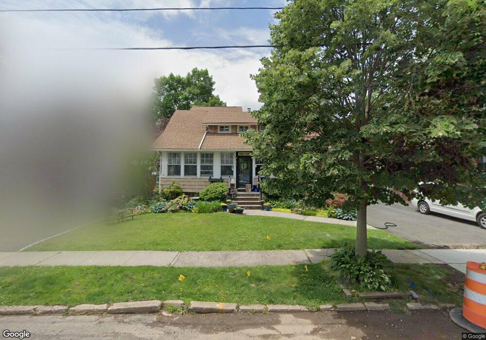
31 Broad St Cranford, NJ 07016
Estimated Value: $522,000 - $661,000
--
Bed
--
Bath
1,575
Sq Ft
$380/Sq Ft
Est. Value
About This Home
This home is located at 31 Broad St, Cranford, NJ 07016 and is currently estimated at $598,516, approximately $380 per square foot. 31 Broad St is a home located in Union County with nearby schools including Cranford Sr High School and St Michael School.
Ownership History
Date
Name
Owned For
Owner Type
Purchase Details
Closed on
Mar 22, 2002
Sold by
Lanzkron Virginia
Bought by
Heesters Daniel and Heesters Jodie
Current Estimated Value
Home Financials for this Owner
Home Financials are based on the most recent Mortgage that was taken out on this home.
Original Mortgage
$154,500
Outstanding Balance
$63,721
Interest Rate
6.88%
Mortgage Type
Stand Alone First
Estimated Equity
$534,795
Purchase Details
Closed on
Aug 3, 1999
Sold by
Vasquez Oscar and Vasquez Mirna
Bought by
Lanzkron Virginia
Purchase Details
Closed on
Feb 28, 1996
Sold by
Pasternak Paul and Pasternak Lisa J
Bought by
Vasquez Oscar A and Vasquez Mirna E
Create a Home Valuation Report for This Property
The Home Valuation Report is an in-depth analysis detailing your home's value as well as a comparison with similar homes in the area
Home Values in the Area
Average Home Value in this Area
Purchase History
| Date | Buyer | Sale Price | Title Company |
|---|---|---|---|
| Heesters Daniel | $235,500 | -- | |
| Heesters Daniel M | $235,500 | -- | |
| Lanzkron Virginia | $178,000 | -- | |
| Vasquez Oscar A | $179,000 | -- |
Source: Public Records
Mortgage History
| Date | Status | Borrower | Loan Amount |
|---|---|---|---|
| Open | Heesters Daniel M | $154,500 | |
| Closed | Heesters Daniel | $154,500 |
Source: Public Records
Tax History Compared to Growth
Tax History
| Year | Tax Paid | Tax Assessment Tax Assessment Total Assessment is a certain percentage of the fair market value that is determined by local assessors to be the total taxable value of land and additions on the property. | Land | Improvement |
|---|---|---|---|---|
| 2025 | $9,694 | $143,000 | $66,700 | $76,300 |
| 2024 | $9,534 | $143,000 | $66,700 | $76,300 |
| 2023 | $9,534 | $143,000 | $66,700 | $76,300 |
| 2022 | $9,455 | $143,000 | $66,700 | $76,300 |
| 2021 | $9,414 | $143,000 | $66,700 | $76,300 |
| 2020 | $9,384 | $143,000 | $66,700 | $76,300 |
| 2019 | $9,324 | $143,000 | $66,700 | $76,300 |
| 2018 | $9,155 | $143,000 | $66,700 | $76,300 |
| 2017 | $8,840 | $143,000 | $66,700 | $76,300 |
| 2016 | $8,519 | $143,000 | $66,700 | $76,300 |
| 2015 | $8,295 | $143,000 | $66,700 | $76,300 |
| 2014 | $8,125 | $143,000 | $66,700 | $76,300 |
Source: Public Records
Map
Nearby Homes
- 37 Broad St
- 166 N Lehigh Ave
- 1 Broad St
- 19 Hawthorne St
- 219 Centennial Ave Unit B
- 98 Winans Ave
- 247 Walnut Ave
- 211 High St
- 11 Mendell Ave
- 522 Lincoln Park E
- 209 Lincoln Park E
- 110 Lincoln Park E
- 76 Centennial Ave
- 113 Retford Ave
- 10 Alan O Kell Place
- 5 Iroquois Rd
- 7 Iroquois Rd
- 127 Bryant Ave
- 213 North Ave W
- 18 Springfield Ave Unit 2B