31 Brooks St Breckenridge, CO 80424
Estimated Value: $1,554,496 - $1,820,000
3
Beds
3
Baths
2,227
Sq Ft
$741/Sq Ft
Est. Value
About This Home
This home is located at 31 Brooks St, Breckenridge, CO 80424 and is currently estimated at $1,649,874, approximately $740 per square foot. 31 Brooks St is a home with nearby schools including Upper Blue Elementary School, Summit Middle School, and Summit High School.
Ownership History
Date
Name
Owned For
Owner Type
Purchase Details
Closed on
Aug 21, 2018
Sold by
Little Thomas A and Sielaff Little Lisa
Bought by
The Sielaff Little Family Trust
Current Estimated Value
Purchase Details
Closed on
Jun 29, 2007
Sold by
Martin Robert E
Bought by
Little Thomas A and Sielaff Little Lisa
Home Financials for this Owner
Home Financials are based on the most recent Mortgage that was taken out on this home.
Original Mortgage
$491,200
Outstanding Balance
$302,010
Interest Rate
6.19%
Mortgage Type
New Conventional
Estimated Equity
$1,347,864
Create a Home Valuation Report for This Property
The Home Valuation Report is an in-depth analysis detailing your home's value as well as a comparison with similar homes in the area
Home Values in the Area
Average Home Value in this Area
Purchase History
| Date | Buyer | Sale Price | Title Company |
|---|---|---|---|
| The Sielaff Little Family Trust | -- | None Available | |
| Little Thomas A | $614,000 | Landamerica |
Source: Public Records
Mortgage History
| Date | Status | Borrower | Loan Amount |
|---|---|---|---|
| Open | Little Thomas A | $491,200 |
Source: Public Records
Tax History Compared to Growth
Tax History
| Year | Tax Paid | Tax Assessment Tax Assessment Total Assessment is a certain percentage of the fair market value that is determined by local assessors to be the total taxable value of land and additions on the property. | Land | Improvement |
|---|---|---|---|---|
| 2024 | $5,013 | $112,279 | -- | -- |
| 2023 | $5,013 | $101,894 | $0 | $0 |
| 2022 | $3,203 | $60,931 | $0 | $0 |
| 2021 | $3,634 | $69,834 | $0 | $0 |
| 2020 | $3,126 | $59,587 | $0 | $0 |
| 2019 | $3,082 | $59,587 | $0 | $0 |
| 2018 | $2,616 | $49,002 | $0 | $0 |
| 2017 | $2,393 | $49,002 | $0 | $0 |
| 2016 | $2,307 | $46,538 | $0 | $0 |
| 2015 | $2,233 | $46,538 | $0 | $0 |
| 2014 | $2,180 | $44,828 | $0 | $0 |
| 2013 | -- | $44,828 | $0 | $0 |
Source: Public Records
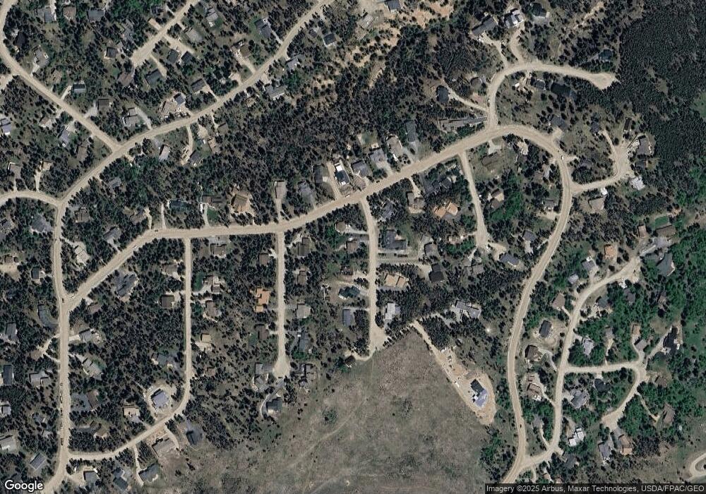
Map
Nearby Homes
- 3824 Ski Hill Rd
- 61 Pine Cir
- 111 Burro Ln
- 66 Sitzmark Cir
- 63 Twin Pines Ct
- 1187 American Way
- 163 Lone Hand Way
- 599 American Way
- 1009 American Way
- 456 Peerless Dr
- 384 Blue Ridge Rd
- 5629 Barton Rd
- 24 Ski Pole Ct
- 41 Barton Ridge Dr
- 114 Regent Dr
- 60 Barton Ridge Dr
- 278 Snowshoe Cir
- 764 Blue Ridge Rd
- 226 Barton Way