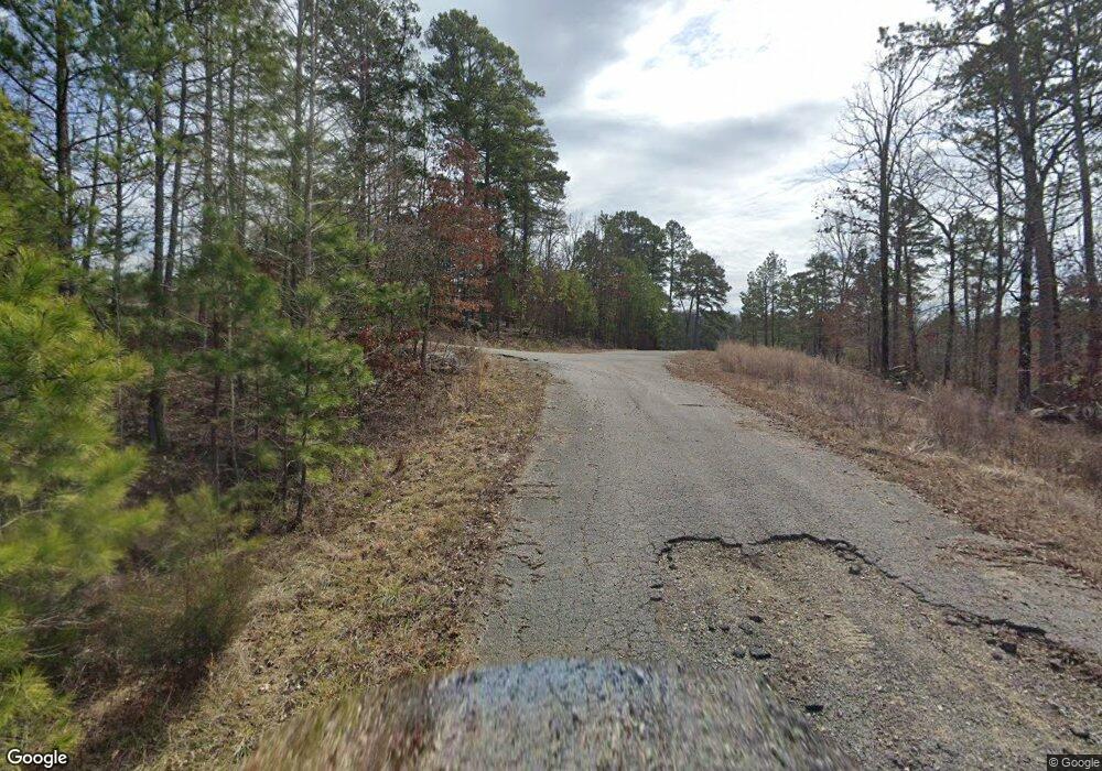
31 Buckhead Ln Drasco, AR 72530
Estimated Value: $961,000 - $1,696,000
Studio
--
Bath
4,815
Sq Ft
$245/Sq Ft
Est. Value
About This Home
This home is located at 31 Buckhead Ln, Drasco, AR 72530 and is currently estimated at $1,181,023, approximately $245 per square foot. 31 Buckhead Ln is a home located in Cleburne County with nearby schools including West Side Elementary School and West Side High School.
Ownership History
Date
Name
Owned For
Owner Type
Purchase Details
Closed on
Jan 21, 2005
Sold by
Kimbrough Joel and Kimbrough Wanda
Bought by
Clifton Linda L
Current Estimated Value
Home Financials for this Owner
Home Financials are based on the most recent Mortgage that was taken out on this home.
Original Mortgage
$544,000
Outstanding Balance
$259,462
Interest Rate
5.12%
Mortgage Type
Adjustable Rate Mortgage/ARM
Estimated Equity
$921,561
Purchase Details
Closed on
Jan 16, 2002
Bought by
Kimbrough Joel and Kimbrough Wanda
Purchase Details
Closed on
Dec 22, 2000
Bought by
Bullington Builders, Inc.
Purchase Details
Closed on
Oct 5, 2000
Bought by
Turney Gray
Create a Home Valuation Report for This Property
The Home Valuation Report is an in-depth analysis detailing your home's value as well as a comparison with similar homes in the area
Purchase History
| Date | Buyer | Sale Price | Title Company |
|---|---|---|---|
| Clifton Linda L | $685,000 | -- | |
| Kimbrough Joel | $465,000 | -- | |
| Bullington Builders, Inc. | $92,000 | -- | |
| Turney Gray | -- | -- |
Source: Public Records
Mortgage History
| Date | Status | Borrower | Loan Amount |
|---|---|---|---|
| Open | Clifton Linda L | $544,000 |
Source: Public Records
Tax History
| Year | Tax Paid | Tax Assessment Tax Assessment Total Assessment is a certain percentage of the fair market value that is determined by local assessors to be the total taxable value of land and additions on the property. | Land | Improvement |
|---|---|---|---|---|
| 2025 | $5,806 | $221,441 | $16,000 | $205,441 |
| 2024 | $6,213 | $160,537 | $16,000 | $144,537 |
| 2023 | $5,857 | $160,537 | $16,000 | $144,537 |
| 2022 | $5,369 | $160,537 | $16,000 | $144,537 |
| 2021 | $4,880 | $126,110 | $15,000 | $111,110 |
| 2020 | $4,880 | $126,110 | $15,000 | $111,110 |
| 2019 | $4,618 | $126,110 | $15,000 | $111,110 |
| 2018 | $4,263 | $126,110 | $15,000 | $111,110 |
| 2017 | $3,908 | $126,110 | $15,000 | $111,110 |
| 2016 | $3,552 | $91,790 | $10,000 | $81,790 |
| 2015 | $3,552 | $91,790 | $10,000 | $81,790 |
| 2014 | $3,552 | $91,790 | $10,000 | $81,790 |
Source: Public Records
Map
Nearby Homes
- 80 Stone Cir
- 90 Stone Cir
- Lots 18-30 Buckhead Trail
- Lot 48 Buckhead Trail
- Lot 47 Buckhead Trail
- Lots 3-14 Buckhead Trail
- Lot 50 Buckhead Trail
- Lot 49 Buckhead Trail
- Lot 66,67,69-75 Buckhead Trail
- 120 Branch
- 209 Pocahontas Ln
- Lot 466 Hersfeld Rd
- Lot 502 Tannenbaum Rd
- Lot 300 Tannenbaum Rd
- Lot 463 Tannenbaum Rd
- Lot 461 Tannenbaum Rd
- Lot 124 Tannenbaum Rd
- Lot 78 Tannenbaum Rd
- Lot 306 Tannenbaum Rd
- Lot 123 Tannenbaum Rd
- 31 Buckhead Trail
- 31 Buckhead Trail
- 5 Buckhead Trail
- 61 Buckhead Trail
- 61 Buck Head Trail
- Lot 45,47 Buckhead Trail
- 10 Drip Creek Loop
- 120 Drip Creek Loop
- 71 Buckhead Trail
- 81 Buckhead Trail
- 21 Buckhead Ln
- 85 Buckhead Trail
- 70 Stone Cir
- 30 Stone Cir
- 41 Buckhead Ln
- 0 Drip Creek Loop Unit 16007864
- 41 Drip Creek Loop
- 109 Buckhead Trail
- 85 Drip Creek Loop
- 15 Oak Branch Ln
Your Personal Tour Guide
Ask me questions while you tour the home.
