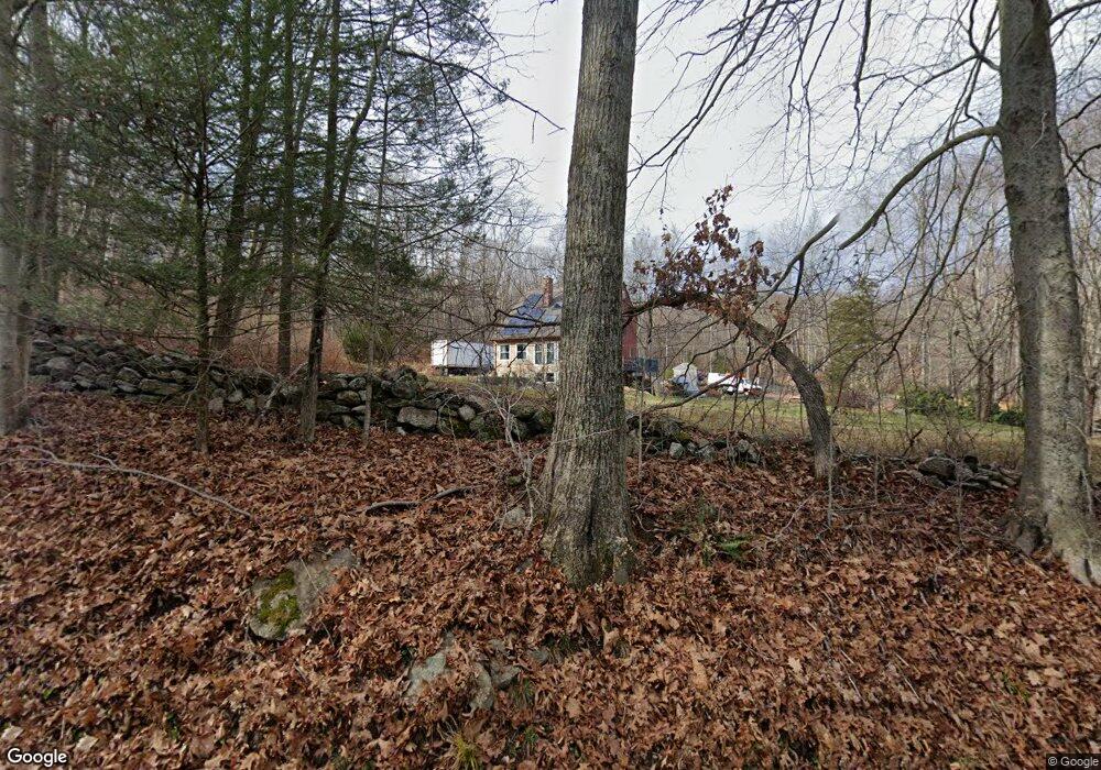
31 Burnap Brook Rd Andover, CT 06232
Estimated Value: $385,000 - $427,000
4
Beds
3
Baths
2,070
Sq Ft
$199/Sq Ft
Est. Value
About This Home
This home is located at 31 Burnap Brook Rd, Andover, CT 06232 and is currently estimated at $411,044, approximately $198 per square foot. 31 Burnap Brook Rd is a home located in Tolland County with nearby schools including Andover Elementary School, RHAM Middle School, and RHAM High School.
Ownership History
Date
Name
Owned For
Owner Type
Purchase Details
Closed on
Feb 9, 1993
Sold by
Nord Annette
Bought by
Turn Edward
Current Estimated Value
Home Financials for this Owner
Home Financials are based on the most recent Mortgage that was taken out on this home.
Original Mortgage
$9,000
Interest Rate
8.1%
Mortgage Type
Unknown
Create a Home Valuation Report for This Property
The Home Valuation Report is an in-depth analysis detailing your home's value as well as a comparison with similar homes in the area
Home Values in the Area
Average Home Value in this Area
Purchase History
| Date | Buyer | Sale Price | Title Company |
|---|---|---|---|
| Turn Edward | $130,000 | -- | |
| Turn Edward | $130,000 | -- |
Source: Public Records
Mortgage History
| Date | Status | Borrower | Loan Amount |
|---|---|---|---|
| Open | Turn Edward | $56,200 | |
| Closed | Turn Edward | $75,000 | |
| Closed | Turn Edward | $9,000 |
Source: Public Records
Tax History Compared to Growth
Tax History
| Year | Tax Paid | Tax Assessment Tax Assessment Total Assessment is a certain percentage of the fair market value that is determined by local assessors to be the total taxable value of land and additions on the property. | Land | Improvement |
|---|---|---|---|---|
| 2025 | $5,951 | $188,370 | $38,080 | $150,290 |
| 2024 | $5,347 | $169,960 | $38,080 | $131,880 |
| 2023 | $5,318 | $169,960 | $38,080 | $131,880 |
| 2022 | $5,423 | $169,960 | $38,080 | $131,880 |
| 2021 | $5,972 | $165,900 | $48,200 | $117,700 |
| 2020 | $6,018 | $169,000 | $48,200 | $120,800 |
| 2019 | $5,560 | $169,000 | $48,200 | $120,800 |
| 2018 | $5,738 | $169,000 | $48,200 | $120,800 |
| 2017 | $5,493 | $169,000 | $48,200 | $120,800 |
| 2016 | $5,256 | $171,100 | $48,600 | $122,500 |
| 2015 | $5,256 | $171,100 | $48,600 | $122,500 |
| 2014 | $5,256 | $171,100 | $48,600 | $122,500 |
Source: Public Records
Map
Nearby Homes
- 38 Aspinall Dr
- 39 Aspinall Dr
- 7 Aspinall Dr
- 16 Pine Ridge Dr
- 105 School Rd
- 0 Rr 6 Route Unit 24064143
- 273 Hebron Rd
- 53 Castlerock Ln
- 0 Us Highway 6
- 34 Hanover Farms Rd
- 869 East St
- 0 Wheeling Rd Unit 24116879
- 78 Bear Swamp Rd
- 0 Skinner Hill Rd Unit 24077239
- 3224 South St
- 42 School Rd
- 75 School Rd
- 89 French Rd
- 31 Clark Rd
- 53 Stonecroft Ln
- 41 Burnap Brook Rd
- 47 Burnap Brook Rd
- 86 Burnap Brook Rd
- 34 Ridge Rd
- 26 Ridge Rd
- 53 Burnap Brook Rd
- 30 Ridge Rd
- 90 Burnap Brook Rd
- 19 Ridge Rd
- 59 Burnap Brook Rd
- 25 Ridge Rd
- 17 Burnap Brook Rd
- 63 Burnap Brook Rd
- 36 Ridge Rd
- 31 Ridge Rd
- 166 Route 6
- 69 Burnap Brook Rd
- 35 Ridge Rd
- 44 Aspinall Dr
- 75 Burnap Brook Rd