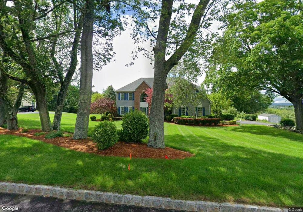
31 Cambridge Rd Lafayette, NJ 07848
Estimated Value: $692,903 - $921,000
Studio
--
Bath
3,932
Sq Ft
$210/Sq Ft
Est. Value
About This Home
This home is located at 31 Cambridge Rd, Lafayette, NJ 07848 and is currently estimated at $825,726, approximately $210 per square foot. 31 Cambridge Rd is a home located in Sussex County with nearby schools including Florence M. Burd School, Long Pond School, and Lakeland Andover School.
Ownership History
Date
Name
Owned For
Owner Type
Purchase Details
Closed on
Jun 24, 2000
Sold by
Fait David Scott and Fait Lisa A
Bought by
Spence Michael and Spence Patricia
Current Estimated Value
Home Financials for this Owner
Home Financials are based on the most recent Mortgage that was taken out on this home.
Original Mortgage
$295,200
Interest Rate
7.81%
Purchase Details
Closed on
Apr 25, 1997
Sold by
Leland Builders Inc
Bought by
Fait David Scott and Fait Lisa A
Home Financials for this Owner
Home Financials are based on the most recent Mortgage that was taken out on this home.
Original Mortgage
$266,400
Interest Rate
7.77%
Purchase Details
Closed on
Oct 27, 1995
Sold by
Dorset Farm Inc
Bought by
Leland Builders Inc
Create a Home Valuation Report for This Property
The Home Valuation Report is an in-depth analysis detailing your home's value as well as a comparison with similar homes in the area
Home Values in the Area
Average Home Value in this Area
Purchase History
| Date | Buyer | Sale Price | Title Company |
|---|---|---|---|
| Spence Michael | $369,000 | Colonial Title & Abstract Sv | |
| Fait David Scott | $333,000 | -- | |
| Leland Builders Inc | $77,500 | -- |
Source: Public Records
Mortgage History
| Date | Status | Borrower | Loan Amount |
|---|---|---|---|
| Previous Owner | Spence Michael | $295,200 | |
| Previous Owner | Fait David Scott | $266,400 |
Source: Public Records
Tax History
| Year | Tax Paid | Tax Assessment Tax Assessment Total Assessment is a certain percentage of the fair market value that is determined by local assessors to be the total taxable value of land and additions on the property. | Land | Improvement |
|---|---|---|---|---|
| 2025 | $16,658 | $395,400 | $91,300 | $304,100 |
| 2024 | $16,057 | $395,400 | $91,300 | $304,100 |
Source: Public Records
Map
Nearby Homes
- 18 Dorset Ln
- 7 Cambridge Rd
- 131 McPeek Rd Unit 131
- 395 Mohegan Cir Unit 395
- 311 Cheyenne Rd Unit 311
- 15 Dana Dr
- 17 Mulford Rd
- 160 Newton Sparta Rd
- 15 Rhea Run Unit R8
- 48 Rhea Run
- 17 Mullen Ln
- 3 Manor Dr
- 26 Cardinal Ln Unit 6
- 39 Oriole Terrace Unit 3
- 14 Thomas Rd
- 88 Trinity St
- 14 Luchetti Way
- 5 Cedar St
- 6 Madison St
- 5 Jefferson St
Your Personal Tour Guide
Ask me questions while you tour the home.