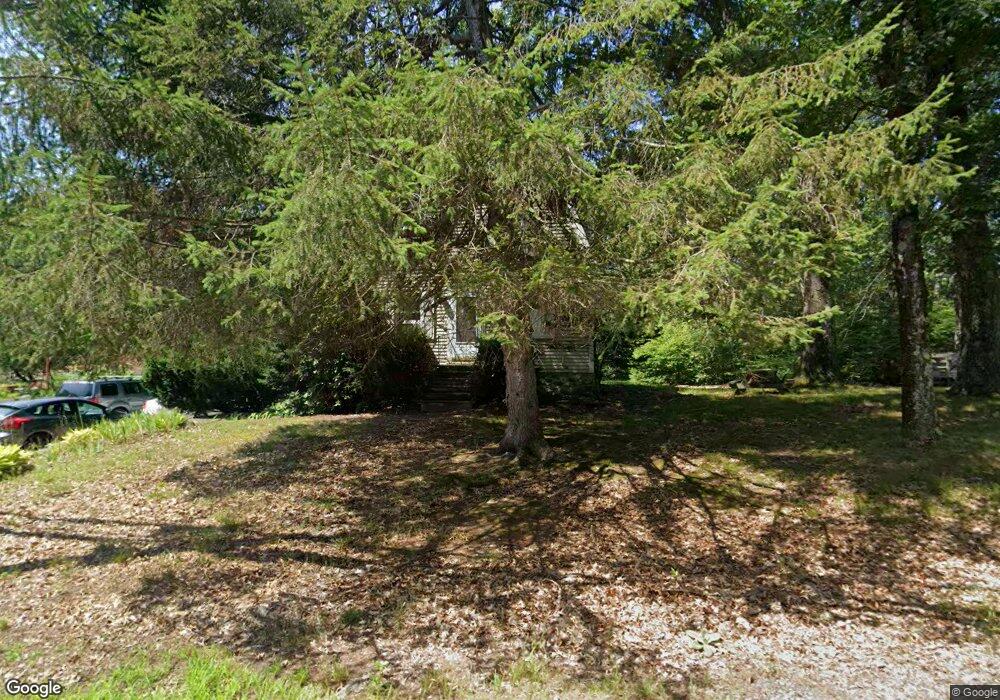
31 Carlisle Rd Westford, MA 01886
Estimated Value: $506,000 - $791,000
4
Beds
1
Bath
1,248
Sq Ft
$531/Sq Ft
Est. Value
About This Home
This home is located at 31 Carlisle Rd, Westford, MA 01886 and is currently estimated at $662,308, approximately $530 per square foot. 31 Carlisle Rd is a home located in Middlesex County with nearby schools including Col John Robinson, John A. Crisafulli Elementary School, and Blanchard Middle School.
Ownership History
Date
Name
Owned For
Owner Type
Purchase Details
Closed on
Sep 29, 2023
Sold by
Wilson Margaret M
Bought by
31 Carlisle Road Rt and Wilson
Current Estimated Value
Purchase Details
Closed on
Nov 21, 1995
Sold by
Bowen Est I Rt and Peabody Ronald B
Bought by
Katherine Mcneil Rt and Kilfoyle Ralph
Purchase Details
Closed on
Apr 29, 1994
Sold by
Msm T and Fiduciary Tr Co
Bought by
Bobjon Corp
Home Financials for this Owner
Home Financials are based on the most recent Mortgage that was taken out on this home.
Original Mortgage
$217,500
Interest Rate
7.7%
Mortgage Type
Purchase Money Mortgage
Create a Home Valuation Report for This Property
The Home Valuation Report is an in-depth analysis detailing your home's value as well as a comparison with similar homes in the area
Home Values in the Area
Average Home Value in this Area
Purchase History
| Date | Buyer | Sale Price | Title Company |
|---|---|---|---|
| 31 Carlisle Road Rt | -- | None Available | |
| Katherine Mcneil Rt | $145,000 | -- | |
| Katherine Mcneil Rt | $145,000 | -- | |
| Bobjon Corp | $454,000 | -- |
Source: Public Records
Mortgage History
| Date | Status | Borrower | Loan Amount |
|---|---|---|---|
| Previous Owner | Bobjon Corp | $1,000,000 | |
| Previous Owner | Bobjon Corp | $217,500 |
Source: Public Records
Tax History Compared to Growth
Tax History
| Year | Tax Paid | Tax Assessment Tax Assessment Total Assessment is a certain percentage of the fair market value that is determined by local assessors to be the total taxable value of land and additions on the property. | Land | Improvement |
|---|---|---|---|---|
| 2025 | $6,285 | $456,400 | $311,600 | $144,800 |
| 2024 | $6,285 | $456,400 | $311,600 | $144,800 |
| 2023 | $6,288 | $426,000 | $297,200 | $128,800 |
| 2022 | $6,284 | $389,800 | $261,000 | $128,800 |
| 2021 | $6,125 | $368,100 | $261,000 | $107,100 |
| 2020 | $6,011 | $368,100 | $261,000 | $107,100 |
| 2019 | $5,447 | $328,900 | $261,000 | $67,900 |
| 2018 | $5,142 | $317,800 | $249,900 | $67,900 |
| 2017 | $5,125 | $312,300 | $249,900 | $62,400 |
| 2016 | $5,226 | $320,600 | $236,000 | $84,600 |
| 2015 | $5,044 | $310,600 | $226,000 | $84,600 |
| 2014 | $5,012 | $301,900 | $217,300 | $84,600 |
Source: Public Records
Map
Nearby Homes
- 22 Carlisle Rd
- 17 Carlisle Rd
- 14 Fieldstone Dr
- 1 Fieldstone Dr
- 14 Banbury Dr
- 7 Little Bear Hill Rd
- 4 Drew Crossing
- 122 Carlisle Rd
- 92 Jimney Dr
- 20 4th Ln
- 1 Courtney Ln
- 4 Fairview Dr
- 5 Carriage Dr
- 9 Lakeside Ave
- 1 Lawton Ave
- 75 Garrison Rd
- 360 Littleton Rd Unit B-1
- 360 Littleton Rd Unit F1
- 5 Colonel Rolls Dr
- 3 Woolsack Dr
- 2 Applewood Dr
- 1 Applewood Dr
- 33 Carlisle Rd
- 28 Carlisle Rd
- 3 Applewood Dr
- 4 Applewood Dr
- 34 Carlisle Rd
- 5 Applewood Dr
- 6 Applewood Dr
- 35 Carlisle Rd
- 37 Carlisle Rd
- 22 Fieldstone Dr
- 36 Carlisle Rd
- 23 Fieldstone Dr
- 18 Balsam Cir
- 7 Applewood Dr
- 14 Balsam Cir
- 14 Balsam Cir Unit 14
- 14 Balsam Cir Unit 14
- 14 Balsam Cir