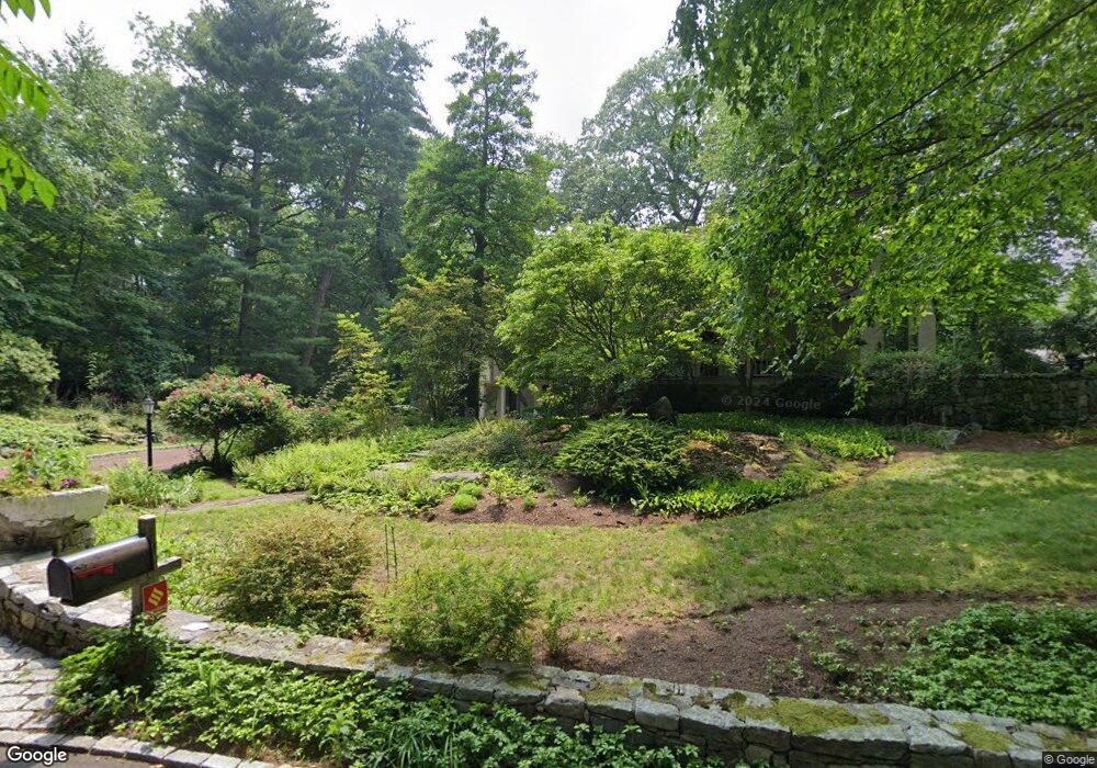
31 Cedar Gate Rd Darien, CT 06820
Estimated Value: $2,772,972 - $3,552,000
5
Beds
4
Baths
4,400
Sq Ft
$701/Sq Ft
Est. Value
About This Home
This home is located at 31 Cedar Gate Rd, Darien, CT 06820 and is currently estimated at $3,084,243, approximately $700 per square foot. 31 Cedar Gate Rd is a home located in Fairfield County with nearby schools including Tokeneke Elementary School, Middlesex Middle School, and Darien High School.
Ownership History
Date
Name
Owned For
Owner Type
Purchase Details
Closed on
Dec 13, 2016
Sold by
Synnott Kathleen
Bought by
Synnott Kathleen
Current Estimated Value
Home Financials for this Owner
Home Financials are based on the most recent Mortgage that was taken out on this home.
Original Mortgage
$500,000
Outstanding Balance
$368,794
Interest Rate
3.42%
Mortgage Type
Credit Line Revolving
Estimated Equity
$2,715,449
Purchase Details
Closed on
Dec 20, 1993
Sold by
Auray Robert and Auray Jilda
Bought by
Synnott Kathleen
Home Financials for this Owner
Home Financials are based on the most recent Mortgage that was taken out on this home.
Original Mortgage
$548,000
Interest Rate
7.03%
Mortgage Type
Unknown
Create a Home Valuation Report for This Property
The Home Valuation Report is an in-depth analysis detailing your home's value as well as a comparison with similar homes in the area
Home Values in the Area
Average Home Value in this Area
Purchase History
| Date | Buyer | Sale Price | Title Company |
|---|---|---|---|
| Synnott Kathleen | -- | -- | |
| Synnott Kathleen | $685,000 | -- |
Source: Public Records
Mortgage History
| Date | Status | Borrower | Loan Amount |
|---|---|---|---|
| Open | Synnott Kathleen | $500,000 | |
| Previous Owner | Synnott Kathleen | $162,000 | |
| Previous Owner | Synnott Kathleen | $457,000 | |
| Previous Owner | Synnott Kathleen | $548,000 |
Source: Public Records
Tax History
| Year | Tax Paid | Tax Assessment Tax Assessment Total Assessment is a certain percentage of the fair market value that is determined by local assessors to be the total taxable value of land and additions on the property. | Land | Improvement |
|---|---|---|---|---|
| 2025 | $21,870 | $1,412,810 | $731,570 | $681,240 |
| 2024 | $20,754 | $1,412,810 | $731,570 | $681,240 |
| 2023 | $20,490 | $1,163,540 | $609,630 | $553,910 |
| 2022 | $20,048 | $1,163,540 | $609,630 | $553,910 |
| 2021 | $19,594 | $1,163,540 | $609,630 | $553,910 |
| 2020 | $19,036 | $1,163,540 | $609,630 | $553,910 |
| 2019 | $4,164 | $1,163,540 | $609,630 | $553,910 |
| 2018 | $19,961 | $1,241,380 | $533,820 | $707,560 |
| 2017 | $4,125 | $1,307,250 | $533,820 | $773,430 |
| 2016 | $20,615 | $1,307,250 | $533,820 | $773,430 |
| 2015 | $20,066 | $1,307,250 | $533,820 | $773,430 |
| 2014 | $19,622 | $1,307,250 | $533,820 | $773,430 |
Source: Public Records
Map
Nearby Homes
- 2 Settlers Trail Unit 2
- 20 Locust Hill Rd
- 18 Winding Ln
- 10 Cross Rd
- 18 Tokeneke Trail
- 25 Lakeside Ave
- 19 Circle Rd
- 10 Stony Brook Rd
- 14 5 Mile River Rd
- 6 Ward Ln Unit 6
- 90 5 Mile River Rd
- 17 Contentment Island Rd
- 2 Red Rose Cir
- 166 Rowayton Ave Unit 2
- 1 Mckinley St
- 171 Raymond St
- 9 Arnold Ln
- 5 Shields Ln
- 22 Harstrom Place
- 5 Little Brook Rd
- 35 Cedar Gate Rd
- 25 Delafield Island Rd
- 4 Wild Rose Ln
- 39 Cedar Gate Rd
- 29 Delafield Island Rd
- 23 Cedar Gate Rd
- 3 Wild Rose Ln
- 3 Wild Rose Ln
- 3 Wild Rose Ln Unit COTTAGE
- 9 Clocks Ln
- 5 Clocks Ln
- 7 Wild Rose Ln
- 11 Clocks Ln
- 10 Clocks Ln
- 8 Clocks Ln
- 17 Delafield Island Rd
- 32 Delafield Island Rd
- 43 Cedar Gate Rd
- 2 Rebel Ln
- 14 Clocks Ln
Your Personal Tour Guide
Ask me questions while you tour the home.