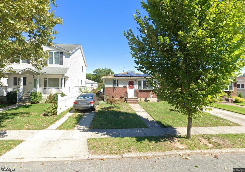
31 Chesterton Ave Staten Island, NY 10306
Bay Terrace NeighborhoodEstimated Value: $655,416 - $884,000
--
Bed
4
Baths
1,150
Sq Ft
$648/Sq Ft
Est. Value
About This Home
This home is located at 31 Chesterton Ave, Staten Island, NY 10306 and is currently estimated at $744,854, approximately $647 per square foot. 31 Chesterton Ave is a home located in Richmond County with nearby schools including P.S. 50 Frank Hankinson School, Myra S. Barnes Intermediate School 24, and New Dorp High School.
Ownership History
Date
Name
Owned For
Owner Type
Purchase Details
Closed on
Nov 13, 2019
Sold by
Hofman Linda Eileen and Estate Of Karl E Hofman
Bought by
Hofman Deborah
Current Estimated Value
Home Financials for this Owner
Home Financials are based on the most recent Mortgage that was taken out on this home.
Original Mortgage
$356,125
Outstanding Balance
$314,962
Interest Rate
3.87%
Mortgage Type
FHA
Estimated Equity
$429,892
Create a Home Valuation Report for This Property
The Home Valuation Report is an in-depth analysis detailing your home's value as well as a comparison with similar homes in the area
Home Values in the Area
Average Home Value in this Area
Purchase History
| Date | Buyer | Sale Price | Title Company |
|---|---|---|---|
| Hofman Deborah | $267,500 | Martin & Loiacono Land Svcs |
Source: Public Records
Mortgage History
| Date | Status | Borrower | Loan Amount |
|---|---|---|---|
| Open | Hofman Deborah | $356,125 |
Source: Public Records
Tax History Compared to Growth
Tax History
| Year | Tax Paid | Tax Assessment Tax Assessment Total Assessment is a certain percentage of the fair market value that is determined by local assessors to be the total taxable value of land and additions on the property. | Land | Improvement |
|---|---|---|---|---|
| 2025 | $6,708 | $42,780 | $9,790 | $32,990 |
| 2024 | $6,708 | $43,260 | $9,681 | $33,579 |
| 2023 | $6,732 | $33,146 | $9,868 | $23,278 |
| 2022 | $6,141 | $41,160 | $12,540 | $28,620 |
| 2021 | $6,209 | $35,640 | $12,540 | $23,100 |
| 2020 | $6,298 | $31,320 | $12,540 | $18,780 |
| 2019 | $10,022 | $30,000 | $12,540 | $17,460 |
| 2018 | $4,385 | $27,622 | $11,710 | $15,912 |
| 2017 | $4,333 | $26,060 | $11,207 | $14,853 |
| 2016 | $3,061 | $24,585 | $10,594 | $13,991 |
| 2015 | $2,731 | $23,194 | $9,256 | $13,938 |
| 2014 | $2,731 | $23,194 | $8,716 | $14,478 |
Source: Public Records
Map
Nearby Homes
- 2075 N Railroad Ave
- 100 Savoy St Unit 1, 39, 43, 45, 46
- 14 Savoy St Unit 14
- 16 Savoy St Unit 16
- 238 Montreal Ave
- 1915 N Railroad Ave
- 55 O'Gorman Ave
- 92 Twombly Ave
- 77 Acorn St
- 148 Hopkins Ave
- 38 Corona Ave
- 18 Atmore Place
- 12 Benton Ct
- 26 Benton Ct
- 122 Guyon Ave
- 44 Thomas St
- 15 Corona Ave
- 133 Durant Ave
- 33 Boyce Ave
- 159 Thomas St
- 35 Chesterton Ave
- 27 Chesterton Ave
- 39 Chesterton Ave
- 23 Chesterton Ave
- 42 Fairbanks Ave
- 46 Fairbanks Ave
- 38 Fairbanks Ave
- 43 Chesterton Ave
- 50 Fairbanks Ave
- 34 Fairbanks Ave
- 17 Chesterton Ave
- 30 Fairbanks Ave
- 30 Chesterton Ave
- 34 Chesterton Ave
- 47 Chesterton Ave
- 28 Chesterton Ave
- 2015 N Railroad Ave
- 38 Chesterton Ave
- 24 Chesterton Ave
- 13 Chesterton Ave