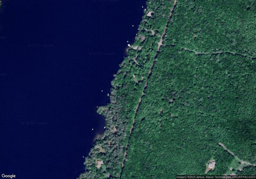
31 Colony Rd Readfield, ME 04355
Estimated Value: $334,000 - $542,000
2
Beds
1
Bath
972
Sq Ft
$448/Sq Ft
Est. Value
About This Home
This home is located at 31 Colony Rd, Readfield, ME 04355 and is currently estimated at $435,203, approximately $447 per square foot. 31 Colony Rd is a home located in Kennebec County.
Ownership History
Date
Name
Owned For
Owner Type
Purchase Details
Closed on
Jan 29, 2014
Sold by
Foushee Eric F and Foushee Nancy E
Bought by
Foushee Richard E
Current Estimated Value
Purchase Details
Closed on
Jul 14, 2010
Sold by
Foushee Eric F and Foushee Nancy E
Bought by
Ellis Ronald I and Ellis Elizabeth
Purchase Details
Closed on
Nov 25, 2008
Sold by
French Chris and French Karen
Bought by
Foushee Eric and Fousher Nancy E
Home Financials for this Owner
Home Financials are based on the most recent Mortgage that was taken out on this home.
Original Mortgage
$104,700
Interest Rate
6.03%
Mortgage Type
Purchase Money Mortgage
Create a Home Valuation Report for This Property
The Home Valuation Report is an in-depth analysis detailing your home's value as well as a comparison with similar homes in the area
Home Values in the Area
Average Home Value in this Area
Purchase History
| Date | Buyer | Sale Price | Title Company |
|---|---|---|---|
| Foushee Richard E | -- | -- | |
| Ellis Ronald I | -- | -- | |
| Foushee Eric | -- | -- |
Source: Public Records
Mortgage History
| Date | Status | Borrower | Loan Amount |
|---|---|---|---|
| Previous Owner | Foushee Eric | $104,700 |
Source: Public Records
Tax History Compared to Growth
Tax History
| Year | Tax Paid | Tax Assessment Tax Assessment Total Assessment is a certain percentage of the fair market value that is determined by local assessors to be the total taxable value of land and additions on the property. | Land | Improvement |
|---|---|---|---|---|
| 2024 | $3,868 | $288,900 | $156,700 | $132,200 |
| 2023 | $3,595 | $253,900 | $137,700 | $116,200 |
| 2022 | $2,594 | $227,500 | $123,400 | $104,100 |
| 2021 | $3,316 | $210,000 | $113,900 | $96,100 |
| 2020 | $3,382 | $192,500 | $104,400 | $88,100 |
| 2019 | $3,423 | $175,100 | $95,000 | $80,100 |
| 2018 | $3,404 | $175,100 | $95,000 | $80,100 |
| 2017 | $3,378 | $175,100 | $95,000 | $80,100 |
| 2015 | $3,166 | $175,100 | $95,000 | $80,100 |
| 2014 | $3,239 | $175,100 | $95,000 | $80,100 |
Source: Public Records
Map
Nearby Homes
- 18 Autumn Crest Ln
- 2 Falling Pines Ln
- 1097 Main St
- 1163 Memorial Dr
- M 8 Lot 5B Maranacook Rd
- 20 Mill Stream Rd
- 429 Sturtevant Hill Rd
- 333 Stanley Rd
- 340 Stanley Rd
- 50 Robin Hood Dr
- 795 Memorial Dr
- 2 Thundercastle Rd
- 155 Old Kents Hill Rd
- 90 Bearce Rd
- 11 Frost Ln
- 283 Church Rd
- 37 Wings Mills Rd
- 135 P Ridge Rd
- 1477 Main St
- 2 Mountain View Ln
- 35 Colony Rd
- 25 Colony Rd
- 43 Colony Rd
- 3 Colony Rd
- 39 Colony Rd
- 22 Colony Rd
- 17 Colony Rd
- 47 Colony Rd
- 7 Colony Rd
- 11 Colony Rd
- 51 Colony Rd
- 78 Lazy Loon Rd
- 0 Colony
- 148 Packard Shores Rd
- 96 Lazy Loon Rd
- Lots 53-58 Lazy Loon Rd
- Lots 47-52 Lazy Loon Rd
- 28 Autumn Crest Ln
- 132 Packard Shores Rd
- 92 Thorp Shores Rd
