31 Commonwealth Dr Basking Ridge, NJ 07920
Estimated Value: $377,000 - $415,000
--
Bed
--
Bath
1,000
Sq Ft
$396/Sq Ft
Est. Value
About This Home
This home is located at 31 Commonwealth Dr, Basking Ridge, NJ 07920 and is currently estimated at $396,007, approximately $396 per square foot. 31 Commonwealth Dr is a home located in Somerset County with nearby schools including Cedar Hill Elementary School, William Annin Middle School, and Ridge High School.
Ownership History
Date
Name
Owned For
Owner Type
Purchase Details
Closed on
Nov 17, 2023
Sold by
Madsen Phyllis
Bought by
Gambony Martin
Current Estimated Value
Home Financials for this Owner
Home Financials are based on the most recent Mortgage that was taken out on this home.
Original Mortgage
$200,000
Outstanding Balance
$196,558
Interest Rate
7.57%
Mortgage Type
New Conventional
Estimated Equity
$199,449
Create a Home Valuation Report for This Property
The Home Valuation Report is an in-depth analysis detailing your home's value as well as a comparison with similar homes in the area
Home Values in the Area
Average Home Value in this Area
Purchase History
| Date | Buyer | Sale Price | Title Company |
|---|---|---|---|
| Gambony Martin | $310,000 | None Listed On Document |
Source: Public Records
Mortgage History
| Date | Status | Borrower | Loan Amount |
|---|---|---|---|
| Open | Gambony Martin | $200,000 |
Source: Public Records
Tax History Compared to Growth
Tax History
| Year | Tax Paid | Tax Assessment Tax Assessment Total Assessment is a certain percentage of the fair market value that is determined by local assessors to be the total taxable value of land and additions on the property. | Land | Improvement |
|---|---|---|---|---|
| 2025 | $5,492 | $342,800 | $140,000 | $202,800 |
| 2024 | $5,492 | $308,700 | $124,000 | $184,700 |
| 2023 | $5,335 | $282,900 | $124,000 | $158,900 |
| 2022 | $5,096 | $253,400 | $120,000 | $133,400 |
| 2021 | $4,702 | $234,700 | $120,000 | $114,700 |
| 2020 | $4,737 | $226,200 | $115,000 | $111,200 |
| 2019 | $4,574 | $224,900 | $125,000 | $99,900 |
| 2018 | $4,523 | $225,600 | $123,000 | $102,600 |
| 2017 | $4,433 | $222,900 | $123,000 | $99,900 |
| 2016 | $4,323 | $221,600 | $123,000 | $98,600 |
| 2015 | $4,059 | $224,900 | $120,000 | $104,900 |
| 2014 | $4,001 | $219,800 | $120,000 | $99,800 |
Source: Public Records
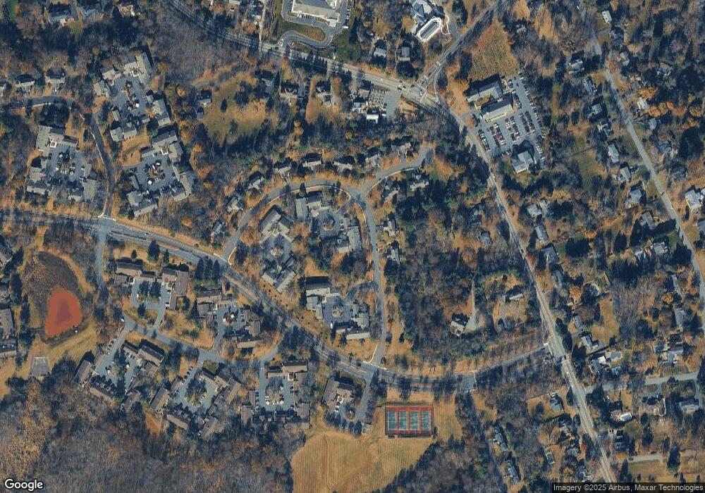
Map
Nearby Homes
- 48 Commonwealth Dr Ondo
- 95 Jamestown Rd Ondo
- 488 King George Rd
- 171 Jamestown Rd Ondo Unit 171
- 121 Jamestown Rd
- 46 Smithfield Ct
- 41 Smithfield Ct Unit 5
- 272 Potomac Dr
- 344 Potomac Dr Ondo Unit 344
- 138 Potomac Dr Condo
- 168 Potomac Dr Condo Unit 168
- 192 Potomac Dr Condo Unit 192
- 21 Alexandria Way
- 71 Alexandria Way Unit 3
- 103 Potomac Dr
- 13 Potomac Dr Ondo Unit 13
- 49 Alexandria Way Unit 5
- 1 Potomac Dr Condo
- 138 Alexandria Way Condo Unit 138
- 23 Hampton Ct
- 32 Commonwealth Dr
- 30 Commonwealth Dr
- 29 Commonwealth Dr
- 33 Commonwealth Dr
- 34 Commonwealth Dr
- 28 Commonwealth Dr
- 27 Commonwealth Dr
- 35 Commonwealth Dr
- 36 Commonwealth Dr Unit 12
- 26 Commonwealth Dr
- 25 Commonwealth Dr
- 108 Commonwealth Dr
- 106 Commonwealth Dr
- 104 Commonwealth Dr
- 110 Commonwealth Dr
- 23 Commonwealth Dr Unit 11
- 24 Commonwealth Dr
- 5 Gelsey Ln
- 43 Commonwealth Dr
- 21 Commonwealth Dr Unit 9