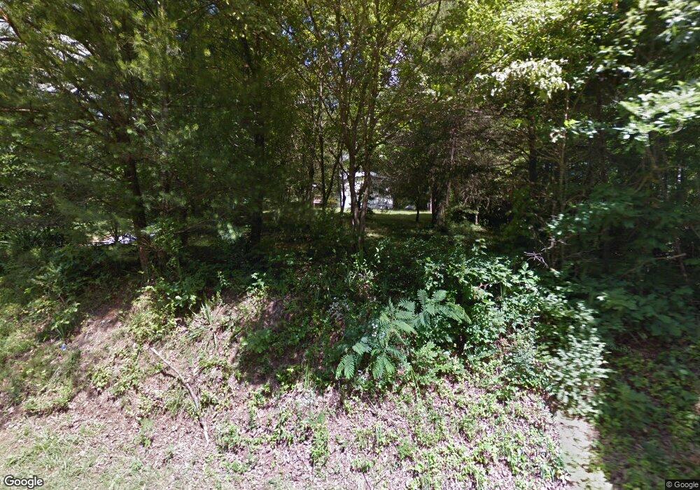
31 Cutcane Rd Mineral Bluff, GA 30559
Estimated Value: $85,916 - $510,000
--
Bed
--
Bath
--
Sq Ft
0.64
Acres
About This Home
This home is located at 31 Cutcane Rd, Mineral Bluff, GA 30559 and is currently estimated at $238,229. 31 Cutcane Rd is a home with nearby schools including Fannin County High School.
Ownership History
Date
Name
Owned For
Owner Type
Purchase Details
Closed on
Jan 28, 2015
Sold by
Godfrey Marlene
Bought by
Walker Leonard
Current Estimated Value
Purchase Details
Closed on
Oct 31, 2005
Sold by
Godfrey Ray
Bought by
Walker Leonard
Purchase Details
Closed on
Oct 23, 2001
Sold by
Teague Sandra
Bought by
Walker Leonard
Purchase Details
Closed on
Jan 15, 2001
Sold by
Walker Leonard
Bought by
Teague Sandra
Purchase Details
Closed on
Sep 12, 2000
Sold by
Barton Barton W and Barton Barbara
Bought by
Walker Leonard
Purchase Details
Closed on
Mar 10, 1997
Bought by
Barton Barton W and Barton Barbara
Create a Home Valuation Report for This Property
The Home Valuation Report is an in-depth analysis detailing your home's value as well as a comparison with similar homes in the area
Home Values in the Area
Average Home Value in this Area
Purchase History
| Date | Buyer | Sale Price | Title Company |
|---|---|---|---|
| Walker Leonard | -- | -- | |
| Walker Leonard | $5,000 | -- | |
| Walker Leonard | -- | -- | |
| Teague Sandra | -- | -- | |
| Teague Sandra | $45,000 | -- | |
| Walker Leonard | $25,000 | -- | |
| Walker Leonard | -- | -- | |
| Barton Barton W | $5,000 | -- |
Source: Public Records
Tax History Compared to Growth
Tax History
| Year | Tax Paid | Tax Assessment Tax Assessment Total Assessment is a certain percentage of the fair market value that is determined by local assessors to be the total taxable value of land and additions on the property. | Land | Improvement |
|---|---|---|---|---|
| 2024 | $37 | $4,054 | $1,894 | $2,160 |
| 2023 | $41 | $4,054 | $1,894 | $2,160 |
| 2022 | $41 | $4,054 | $1,894 | $2,160 |
| 2021 | $57 | $4,054 | $1,894 | $2,160 |
| 2020 | $58 | $4,054 | $1,894 | $2,160 |
| 2019 | $59 | $4,054 | $1,894 | $2,160 |
| 2018 | $62 | $4,054 | $1,894 | $2,160 |
| 2017 | $72 | $4,060 | $1,894 | $2,166 |
| 2016 | $35 | $2,067 | $1,894 | $173 |
| 2015 | -- | $2,074 | $1,894 | $179 |
Source: Public Records
Map
Nearby Homes
- 0 Lakewood Hwy Unit 10020686
- 0 Lakewood Hwy Unit 309290
- 0 State 60
- 7.93 Cutcane Rd
- 56.46 Ac Cutcane Rd
- 83.98 Ac Cutcane Rd
- 8601 Lakewood Hwy
- 0 Murphy Hwy Unit 10469213
- 0 Murphy Hwy Unit 402757
- 330 Serenity Ridge Ln
- 21 Ac Bear Hollow Dr
- LT 1 Newberry Dr
- Lot 229 Kittatinny Dr
- Lot 75 Morgan Rd
- 105 Longview Terrace
- 126 Wawayanda Dr
- 91 Kittatinny Dr
- 1.18 Newberry Dr
- Lot 24 Crestview Point
- 1164 Dividing Ridge Rd
- 92 Stites Ln
- 68 Stites Ln
- 0 Stites Ln
- 50 Stites Ln
- 8 Stites Ln
- 402 Dividing Ridge Rd
- 630 Dividing Ridge Rd
- 3.63 Acres Cutcane Rd
- 3 Cutcane Rd
- 5 Cutcane Rd
- 27 Cutcane Rd
- 0 Cutcane Rd Unit 3.63 AC 8353838
- 0 Cutcane @ Knollwood Unit 8292856
- 0 Cutcane Rd Unit 3166808
- 0 Cutcane Rd Unit 3242173
- 0 Cutcane Rd Unit 68AC 8055165
- 0 Cutcane Rd
- 0 Cutcane Rd Unit 407783
- 0 Cutcane Rd Unit 261035
- 0 Cutcane Rd Unit 261001
