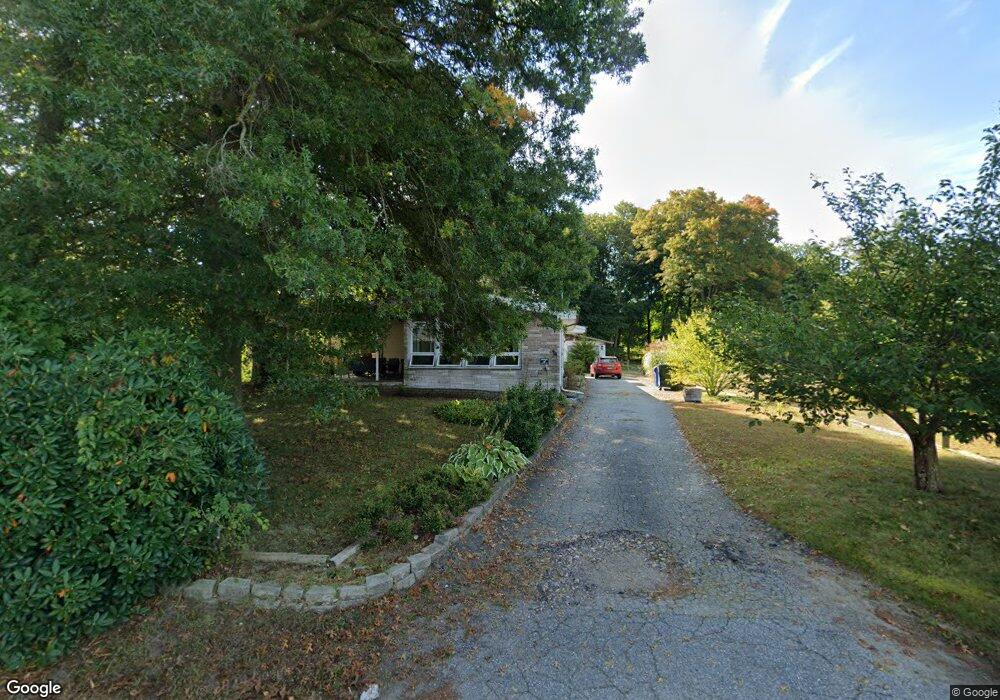
31 Dock Rd Uncasville, CT 06382
Oxoboxo River NeighborhoodEstimated Value: $379,000 - $472,000
3
Beds
4
Baths
1,608
Sq Ft
$263/Sq Ft
Est. Value
About This Home
This home is located at 31 Dock Rd, Uncasville, CT 06382 and is currently estimated at $422,127, approximately $262 per square foot. 31 Dock Rd is a home located in New London County with nearby schools including Leonard J. Tyl Middle School, Montville High School, and Bradley School-New London Regional.
Ownership History
Date
Name
Owned For
Owner Type
Purchase Details
Closed on
Aug 1, 2025
Sold by
Gugliuzza Vincent M
Bought by
Gugliuzza Vincent M and Steighner Angela J
Current Estimated Value
Purchase Details
Closed on
May 8, 2019
Sold by
Hepworth Paulette P and Gugliuzza Vincent M
Bought by
Gugliuzza Vincent M and Gugliuzza Michelle A
Purchase Details
Closed on
Jun 4, 2013
Sold by
Hepworth Paulette P and Gugliuzza Vincent M
Bought by
Hepworth Paulette P and Gugliuzza Vincent M
Create a Home Valuation Report for This Property
The Home Valuation Report is an in-depth analysis detailing your home's value as well as a comparison with similar homes in the area
Home Values in the Area
Average Home Value in this Area
Purchase History
We collect this data history from publicly available records. To have your information removed, we recommend requesting removal directly through your county’s website.
| Date | Buyer | Sale Price | Title Company |
|---|---|---|---|
| Gugliuzza Vincent M | -- | -- | |
| Gugliuzza Vincent M | -- | -- | |
| Gugliuzza Vincent M | -- | -- | |
| Hepworth Paulette P | -- | -- | |
| Hepworth Paulette P | -- | -- | |
| Hepworth Paulette P | -- | -- |
Source: Public Records
Mortgage History
We collect this data history from publicly available records. To have your information removed, we recommend requesting removal directly through your county’s website.
| Date | Status | Borrower | Loan Amount |
|---|---|---|---|
| Previous Owner | Hepworth Paulette P | $28,111 | |
| Previous Owner | Hepworth Paulette P | $139,400 | |
| Previous Owner | Hepworth Paulette P | $114,800 |
Source: Public Records
Tax History
| Year | Tax Paid | Tax Assessment Tax Assessment Total Assessment is a certain percentage of the fair market value that is determined by local assessors to be the total taxable value of land and additions on the property. | Land | Improvement |
|---|---|---|---|---|
| 2025 | $5,040 | $174,580 | $31,850 | $142,730 |
| 2024 | $4,848 | $174,580 | $31,850 | $142,730 |
| 2023 | $4,848 | $174,580 | $31,850 | $142,730 |
| 2022 | $4,663 | $174,580 | $31,850 | $142,730 |
| 2021 | $4,111 | $129,470 | $27,780 | $101,690 |
| 2020 | $4,192 | $129,470 | $27,780 | $101,690 |
| 2019 | $4,209 | $129,470 | $27,780 | $101,690 |
| 2018 | $4,108 | $129,470 | $27,780 | $101,690 |
| 2017 | $4,104 | $129,470 | $27,780 | $101,690 |
| 2016 | $3,921 | $130,610 | $34,730 | $95,880 |
| 2015 | $3,921 | $130,610 | $34,730 | $95,880 |
| 2014 | $3,836 | $130,610 | $34,730 | $95,880 |
Source: Public Records
Map
Nearby Homes
- 19 Power House Rd
- 5 Blumenthal Dr
- 17 Comstock Ave
- 95 Kitemaug Rd
- 15 Ferry View Dr
- 59 Kings Hwy Unit 5
- 14 Anderson Dr
- 16 Kings Hwy
- 1742 Route 12 Unit 2A
- 593 Mohegan Avenue Pkwy
- 72 Inchcliffe Dr
- 1637 Connecticut 12
- 48 Kings Hwy Unit 103
- 32 Richard Rd
- 1098 Long Cove Rd
- 165 Massapeag Rd
- 9 Oakridge Dr
- 5 Tom Allyn Ct
- 82 Christy Hill Rd
- 1561 Route 12
Your Personal Tour Guide
Ask me questions while you tour the home.