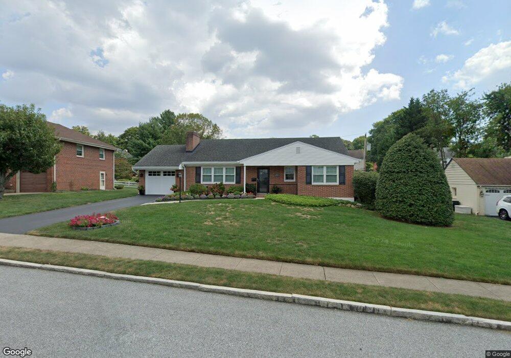
31 Duncan Ln Springfield, PA 19064
Estimated Value: $439,493 - $470,000
3
Beds
2
Baths
1,320
Sq Ft
$345/Sq Ft
Est. Value
About This Home
This home is located at 31 Duncan Ln, Springfield, PA 19064 and is currently estimated at $455,873, approximately $345 per square foot. 31 Duncan Ln is a home located in Delaware County with nearby schools including Springfield High School, St Francis Of Assisi School, and Holy Cross School.
Ownership History
Date
Name
Owned For
Owner Type
Purchase Details
Closed on
Jun 25, 2009
Sold by
Meahl Barbara B
Bought by
Danneker Lauren J
Current Estimated Value
Home Financials for this Owner
Home Financials are based on the most recent Mortgage that was taken out on this home.
Original Mortgage
$204,000
Interest Rate
5.47%
Mortgage Type
New Conventional
Purchase Details
Closed on
Jun 22, 2006
Sold by
Meahl Robert P and Meahl Barbara B
Bought by
Meahl Barbara B
Create a Home Valuation Report for This Property
The Home Valuation Report is an in-depth analysis detailing your home's value as well as a comparison with similar homes in the area
Home Values in the Area
Average Home Value in this Area
Purchase History
| Date | Buyer | Sale Price | Title Company |
|---|---|---|---|
| Danneker Lauren J | $255,000 | None Available | |
| Meahl Barbara B | -- | None Available |
Source: Public Records
Mortgage History
| Date | Status | Borrower | Loan Amount |
|---|---|---|---|
| Previous Owner | Danneker Lauren J | $204,000 |
Source: Public Records
Tax History Compared to Growth
Tax History
| Year | Tax Paid | Tax Assessment Tax Assessment Total Assessment is a certain percentage of the fair market value that is determined by local assessors to be the total taxable value of land and additions on the property. | Land | Improvement |
|---|---|---|---|---|
| 2025 | $7,360 | $261,840 | $96,520 | $165,320 |
| 2024 | $7,360 | $261,840 | $96,520 | $165,320 |
| 2023 | $7,086 | $261,840 | $96,520 | $165,320 |
| 2022 | $6,933 | $261,840 | $96,520 | $165,320 |
| 2021 | $10,737 | $261,840 | $96,520 | $165,320 |
| 2020 | $6,543 | $144,400 | $46,400 | $98,000 |
| 2019 | $6,390 | $144,400 | $46,400 | $98,000 |
| 2018 | $6,298 | $144,400 | $0 | $0 |
| 2017 | $6,152 | $144,400 | $0 | $0 |
| 2016 | $792 | $144,400 | $0 | $0 |
| 2015 | $792 | $144,400 | $0 | $0 |
| 2014 | $792 | $144,400 | $0 | $0 |
Source: Public Records
Map
Nearby Homes
- 232 S Highland Rd
- 517 W Woodland Ave
- 201 S Highland Rd
- 247 Orchard Rd
- 341 Kennerly Rd
- 200 N State Rd
- 89 Saxer Ave
- 506 Flora Cir
- 165 Summit Rd
- 15 Pearson Dr
- 364 S Rolling Rd
- 326 Powell Rd
- 251 Powell Rd
- 140 N Rolling Rd
- 214 Lynbrooke Rd
- 30 Wayne Ave
- 225 Lynbrooke Rd
- 530 Hempstead Rd
- 499 Collins Dr
- 464 Conard Dr