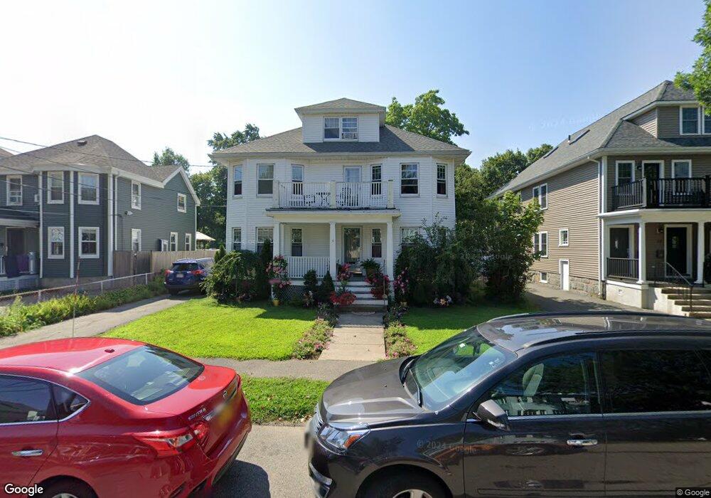
31 Dyer Ave Milton, MA 02186
Milton Center NeighborhoodEstimated Value: $916,000 - $1,353,000
4
Beds
2
Baths
3,006
Sq Ft
$373/Sq Ft
Est. Value
About This Home
This home is located at 31 Dyer Ave, Milton, MA 02186 and is currently estimated at $1,122,703, approximately $373 per square foot. 31 Dyer Ave is a home located in Norfolk County with nearby schools including Milton High School, KIPP Academy Boston Charter School, and St. Mary of the Hills School.
Ownership History
Date
Name
Owned For
Owner Type
Purchase Details
Closed on
Jun 30, 2020
Sold by
Gray Takiyah and Givens Annette
Bought by
Gray Takiyah and Sowande-Gray Hashem
Current Estimated Value
Home Financials for this Owner
Home Financials are based on the most recent Mortgage that was taken out on this home.
Original Mortgage
$286,000
Outstanding Balance
$251,333
Interest Rate
3.1%
Mortgage Type
New Conventional
Estimated Equity
$871,370
Purchase Details
Closed on
Mar 17, 2010
Sold by
Alex Christos G and Alex Vassilios G
Bought by
Gray Takiyah and Givens Annette
Home Financials for this Owner
Home Financials are based on the most recent Mortgage that was taken out on this home.
Original Mortgage
$404,357
Interest Rate
5.05%
Mortgage Type
Purchase Money Mortgage
Create a Home Valuation Report for This Property
The Home Valuation Report is an in-depth analysis detailing your home's value as well as a comparison with similar homes in the area
Home Values in the Area
Average Home Value in this Area
Purchase History
| Date | Buyer | Sale Price | Title Company |
|---|---|---|---|
| Gray Takiyah | -- | None Available | |
| Gray Takiyah | $440,000 | -- | |
| Gray Takiyah | $440,000 | -- |
Source: Public Records
Mortgage History
| Date | Status | Borrower | Loan Amount |
|---|---|---|---|
| Open | Gray Takiyah | $286,000 | |
| Previous Owner | Gray Takiyah | $404,357 |
Source: Public Records
Tax History
| Year | Tax Paid | Tax Assessment Tax Assessment Total Assessment is a certain percentage of the fair market value that is determined by local assessors to be the total taxable value of land and additions on the property. | Land | Improvement |
|---|---|---|---|---|
| 2025 | $11,974 | $1,079,700 | $416,400 | $663,300 |
| 2024 | $11,722 | $1,073,400 | $396,600 | $676,800 |
| 2023 | $11,307 | $991,800 | $377,800 | $614,000 |
| 2022 | $11,298 | $906,000 | $377,800 | $528,200 |
| 2021 | $10,933 | $832,700 | $329,600 | $503,100 |
| 2020 | $9,747 | $742,900 | $294,800 | $448,100 |
| 2019 | $8,947 | $678,800 | $286,200 | $392,600 |
| 2018 | $8,622 | $624,300 | $231,900 | $392,400 |
| 2017 | $7,823 | $576,900 | $220,800 | $356,100 |
| 2016 | $7,220 | $534,800 | $207,000 | $327,800 |
| 2015 | $6,694 | $480,200 | $190,500 | $289,700 |
Source: Public Records
Map
Nearby Homes
- 16 West St
- 137 Thacher St Unit 137
- 29/31 Belvoir Rd
- 168 Brook Rd
- 214 Brook Rd
- 46 Audubon Rd
- 82 Blue Hill Ave
- 18 Fairfax Rd
- 7 Parkway Crescent
- 16 Blue Hill Ave
- 84 Blue Hills Pkwy
- 80 Blue Hills Pkwy
- 16 Concord Ave Unit 1
- 424 Brook Rd
- 30 Massasoit St
- 640 River St
- 645 River St
- 485 Blue Hills Pkwy Unit 10
- 485 Blue Hills Pkwy Unit 12
- 485 Blue Hills Pkwy Unit 33
- 37 Dyer Ave
- 23 Dyer Ave Unit 25
- 23 Dyer Ave Unit 1
- 25 Dyer Ave
- 39-41 Dyer Ave
- 41 Dyer Ave Unit 1st fl
- 41 Dyer Ave Unit 41
- 39 Dyer Ave Unit 41
- 19 Dyer Ave Unit 21
- 19 Dyer Ave Unit 1
- 43 Dyer Ave Unit 43A
- 43 Dyer Ave Unit 2
- 42 Houston Ave
- 17 - A Dyer Ave
- 17A Dyer Ave
- 36 Houston Ave
- 30 Dyer Ave Unit 32
- 32 Dyer Ave Unit 2
- 30 Dyer Ave Unit 1
- 45 Dyer Ave Unit 45A
Your Personal Tour Guide
Ask me questions while you tour the home.