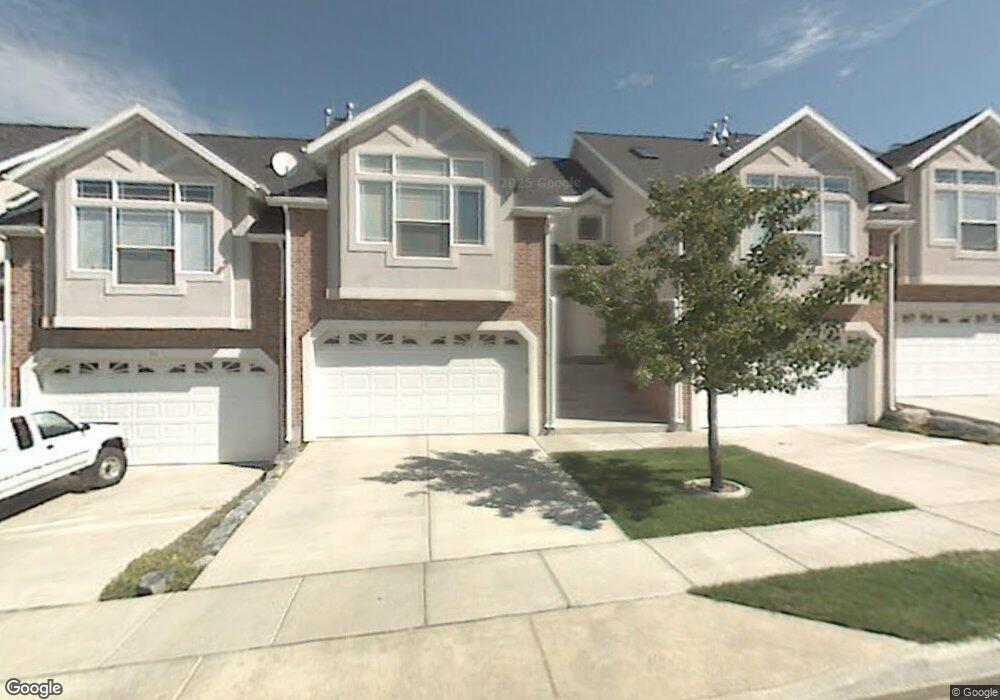
31 E 2200 S Bountiful, UT 84010
Estimated Value: $441,000 - $486,000
4
Beds
3
Baths
2,100
Sq Ft
$217/Sq Ft
Est. Value
About This Home
This home is located at 31 E 2200 S, Bountiful, UT 84010 and is currently estimated at $456,291, approximately $217 per square foot. 31 E 2200 S is a home located in Davis County with nearby schools including Bountiful Elementary School, Mueller Park Junior High School, and Woods Cross High School.
Ownership History
Date
Name
Owned For
Owner Type
Purchase Details
Closed on
Dec 23, 2008
Sold by
Midgley Trever B
Bought by
Midgley Trever B and Midgley Dawnell Groberg
Current Estimated Value
Purchase Details
Closed on
Jun 29, 2007
Sold by
Mackintosh Darin Scot and Mackintosh Jennifer Allen
Bought by
Midgley Trever B
Home Financials for this Owner
Home Financials are based on the most recent Mortgage that was taken out on this home.
Original Mortgage
$208,075
Outstanding Balance
$125,600
Interest Rate
6.21%
Mortgage Type
Purchase Money Mortgage
Estimated Equity
$330,691
Purchase Details
Closed on
Jun 21, 2000
Sold by
Glh Family Ltd Partnership
Bought by
Mackintosh Darin Scot and Mackintosh Jennifer Allen
Home Financials for this Owner
Home Financials are based on the most recent Mortgage that was taken out on this home.
Original Mortgage
$156,000
Interest Rate
8.53%
Mortgage Type
Purchase Money Mortgage
Create a Home Valuation Report for This Property
The Home Valuation Report is an in-depth analysis detailing your home's value as well as a comparison with similar homes in the area
Purchase History
| Date | Buyer | Sale Price | Title Company |
|---|---|---|---|
| Midgley Trever B | -- | Accommodation | |
| Midgley Trever B | -- | Legacy Land Title Co | |
| Mackintosh Darin Scot | -- | Legacy Land Title Co | |
| Glh Family Ltd Partnership | -- | Legacy Land Title Co |
Source: Public Records
Mortgage History
| Date | Status | Borrower | Loan Amount |
|---|---|---|---|
| Open | Midgley Trever B | $208,075 | |
| Previous Owner | Mackintosh Darin Scot | $156,000 |
Source: Public Records
Tax History
| Year | Tax Paid | Tax Assessment Tax Assessment Total Assessment is a certain percentage of the fair market value that is determined by local assessors to be the total taxable value of land and additions on the property. | Land | Improvement |
|---|---|---|---|---|
| 2025 | $2,344 | $222,200 | $55,550 | $166,650 |
| 2024 | $2,261 | $218,900 | $40,150 | $178,750 |
| 2023 | $2,265 | $398,000 | $72,000 | $326,000 |
| 2022 | $2,295 | $221,100 | $39,050 | $182,050 |
| 2021 | $2,039 | $300,000 | $60,000 | $240,000 |
| 2020 | $1,960 | $291,000 | $56,000 | $235,000 |
| 2019 | $1,892 | $274,000 | $44,500 | $229,500 |
| 2018 | $1,766 | $252,000 | $59,500 | $192,500 |
| 2016 | $1,501 | $115,885 | $20,350 | $95,535 |
| 2015 | $1,427 | $103,950 | $20,350 | $83,600 |
| 2014 | $1,320 | $98,438 | $18,333 | $80,105 |
| 2013 | -- | $88,924 | $14,850 | $74,074 |
Source: Public Records
Map
Nearby Homes
- 2064 S Orchard Dr
- 33 W Wicker Ln
- 188 E 2050 S Unit D3
- 19 E North Canyon Rd
- 69 E North Canyon Rd
- 53 W 1800 S
- 320 E 2100 S
- 1820 S 50 W
- 291 E 1950 S
- 2046 S 350 E Unit 4
- 2038 S 350 E Unit 3
- 304 W 2300 S
- 2059 S 350 E Unit 6
- 1950 S 200 W Unit 32
- 141 E 1650 S
- 2095 S Main St Unit 13
- 288 E 1650 S
- 1886 S Jeri Dr
- 438 E 1800 S
- 404 W 2700 S
Your Personal Tour Guide
Ask me questions while you tour the home.