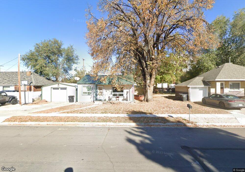
31 E 700 S Springville, UT 84663
Estimated Value: $316,000 - $390,000
2
Beds
2
Baths
700
Sq Ft
$515/Sq Ft
Est. Value
About This Home
This home is located at 31 E 700 S, Springville, UT 84663 and is currently estimated at $360,454, approximately $514 per square foot. 31 E 700 S is a home located in Utah County with nearby schools including Cherry Creek Elementary School, Springville Junior High School, and Springville High School.
Ownership History
Date
Name
Owned For
Owner Type
Purchase Details
Closed on
Sep 27, 2016
Sold by
Miller Douglas K and Miller Patricia S
Bought by
Hyson Stephen Lee
Current Estimated Value
Home Financials for this Owner
Home Financials are based on the most recent Mortgage that was taken out on this home.
Original Mortgage
$127,500
Outstanding Balance
$102,118
Interest Rate
3.43%
Mortgage Type
Purchase Money Mortgage
Estimated Equity
$258,336
Purchase Details
Closed on
Jul 7, 2006
Sold by
Miller Douglas K and Miller Patricia S
Bought by
Dkm Properties Of Utah Llc
Create a Home Valuation Report for This Property
The Home Valuation Report is an in-depth analysis detailing your home's value as well as a comparison with similar homes in the area
Home Values in the Area
Average Home Value in this Area
Purchase History
| Date | Buyer | Sale Price | Title Company |
|---|---|---|---|
| Hyson Stephen Lee | -- | Vangurad Title Ins Agen | |
| Dkm Properties Of Utah Llc | -- | None Available |
Source: Public Records
Mortgage History
| Date | Status | Borrower | Loan Amount |
|---|---|---|---|
| Open | Hyson Stephen Lee | $127,500 |
Source: Public Records
Tax History
| Year | Tax Paid | Tax Assessment Tax Assessment Total Assessment is a certain percentage of the fair market value that is determined by local assessors to be the total taxable value of land and additions on the property. | Land | Improvement |
|---|---|---|---|---|
| 2025 | $1,472 | $172,205 | -- | -- |
| 2024 | $1,472 | $150,755 | $0 | $0 |
| 2023 | $1,328 | $136,235 | $0 | $0 |
| 2022 | $1,514 | $152,460 | $0 | $0 |
| 2021 | $1,360 | $213,200 | $97,200 | $116,000 |
| 2020 | $1,200 | $182,400 | $72,000 | $110,400 |
| 2019 | $1,041 | $161,100 | $65,100 | $96,000 |
| 2018 | $984 | $145,200 | $61,700 | $83,500 |
| 2017 | $894 | $70,125 | $0 | $0 |
| 2016 | $756 | $58,080 | $0 | $0 |
| 2015 | $729 | $57,310 | $0 | $0 |
| 2014 | $734 | $57,310 | $0 | $0 |
Source: Public Records
Map
Nearby Homes
- 50 E 750 S Unit 25
- 67 W 600 S Unit B301
- 625 S 200 E
- 64 W 600 S Unit C301
- 64 W 600 S Unit C205
- 64 W 600 S Unit C206
- 618 S 100 W Unit D102
- 572 S 100 W Unit E 210
- 868 S State Rd Unit 201
- 876 S State Rd Unit 203
- 928 S State Rd Unit 207
- 934 S State Rd Unit 208
- 936 S State Rd Unit 209
- 938 S State Rd Unit 197
- 72 E 400 S
- 942 S State Rd Unit 210
- 511 S 300 E Unit 2
- 234 W 700 S
- 942 Sage Creek Cir
- 1010 S 400 E Unit 39
Your Personal Tour Guide
Ask me questions while you tour the home.