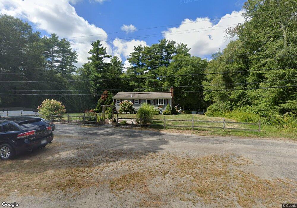
31 E Howland Rd East Freetown, MA 02717
Estimated Value: $470,000 - $514,000
3
Beds
1
Bath
1,120
Sq Ft
$438/Sq Ft
Est. Value
About This Home
This home is located at 31 E Howland Rd, East Freetown, MA 02717 and is currently estimated at $490,877, approximately $438 per square foot. 31 E Howland Rd is a home located in Bristol County with nearby schools including Freetown Elementary School, George R Austin Intermediate School, and Freetown-Lakeville Middle School.
Ownership History
Date
Name
Owned For
Owner Type
Purchase Details
Closed on
Jul 26, 2012
Sold by
Beland Roger P and Beland Teresa F
Bought by
Beland Ft and Beland Roger P
Current Estimated Value
Purchase Details
Closed on
Mar 11, 1977
Bought by
Beland Roger P and Dutr Teresa F
Create a Home Valuation Report for This Property
The Home Valuation Report is an in-depth analysis detailing your home's value as well as a comparison with similar homes in the area
Home Values in the Area
Average Home Value in this Area
Purchase History
| Date | Buyer | Sale Price | Title Company |
|---|---|---|---|
| Beland Ft | -- | -- | |
| Beland Roger P | $36,500 | -- |
Source: Public Records
Tax History Compared to Growth
Tax History
| Year | Tax Paid | Tax Assessment Tax Assessment Total Assessment is a certain percentage of the fair market value that is determined by local assessors to be the total taxable value of land and additions on the property. | Land | Improvement |
|---|---|---|---|---|
| 2025 | $4,024 | $406,100 | $166,100 | $240,000 |
| 2024 | $3,997 | $383,200 | $156,700 | $226,500 |
| 2023 | $3,900 | $364,100 | $141,100 | $223,000 |
| 2022 | $3,714 | $308,000 | $119,600 | $188,400 |
| 2021 | $3,560 | $280,300 | $108,700 | $171,600 |
| 2020 | $240 | $269,500 | $104,600 | $164,900 |
| 2019 | $234 | $252,200 | $99,600 | $152,600 |
| 2018 | $245 | $236,100 | $99,600 | $136,500 |
| 2017 | $3,084 | $231,500 | $99,600 | $131,900 |
| 2016 | $2,943 | $224,800 | $96,700 | $128,100 |
| 2015 | $2,868 | $222,300 | $96,700 | $125,600 |
| 2014 | $2,638 | $209,200 | $94,700 | $114,500 |
Source: Public Records
Map
Nearby Homes
- 35 E Howland Rd
- 34 E Howland Rd
- 36 E Howland Rd
- 37 E Howland Rd
- 32 1/2 E Howland Rd
- 32 E Howland Rd
- 41 E Howland Rd
- 30 E Howland Rd
- 38 E Howland Rd
- 40 E Howland Rd
- 42 E Howland Rd
- 45 E Howland Rd
- 28 E Howland Rd
- 47 E Howland Rd
- 26 E Howland Rd
- 104 E Howland Rd
- 109 E Howland Rd
- 48 E Howland Rd
- 51 E Howland Rd
- 50 E Howland Rd