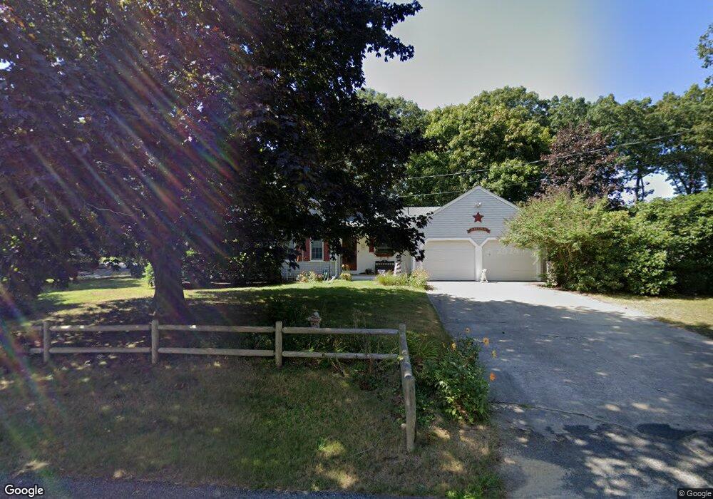
31 Eileen St Yarmouth Port, MA 02675
Yarmouth Port NeighborhoodEstimated Value: $686,267 - $830,000
3
Beds
2
Baths
1,712
Sq Ft
$446/Sq Ft
Est. Value
About This Home
This home is located at 31 Eileen St, Yarmouth Port, MA 02675 and is currently estimated at $763,567, approximately $446 per square foot. 31 Eileen St is a home located in Barnstable County with nearby schools including Dennis-Yarmouth Regional High School and St. Pius X. School.
Ownership History
Date
Name
Owned For
Owner Type
Purchase Details
Closed on
Nov 14, 2023
Sold by
Witherell Marcia L and Witherell Scott A
Bought by
Marcia and Marcia Witherell S
Current Estimated Value
Purchase Details
Closed on
Dec 4, 2009
Sold by
Deitrick George M and Deitrick Edith M
Bought by
Witherell Scott A and Witherell Marcia L
Home Financials for this Owner
Home Financials are based on the most recent Mortgage that was taken out on this home.
Original Mortgage
$235,000
Interest Rate
5.01%
Mortgage Type
Purchase Money Mortgage
Purchase Details
Closed on
Dec 21, 1990
Sold by
Iyanough Corp
Bought by
Deitrick George M
Create a Home Valuation Report for This Property
The Home Valuation Report is an in-depth analysis detailing your home's value as well as a comparison with similar homes in the area
Home Values in the Area
Average Home Value in this Area
Purchase History
| Date | Buyer | Sale Price | Title Company |
|---|---|---|---|
| Marcia | -- | None Available | |
| Witherell Scott A | $339,000 | -- | |
| Deitrick George M | $1,000 | -- | |
| Deitrick George M | $1,000 | -- |
Source: Public Records
Mortgage History
| Date | Status | Borrower | Loan Amount |
|---|---|---|---|
| Previous Owner | Witherell Scott A | $235,000 |
Source: Public Records
Tax History Compared to Growth
Tax History
| Year | Tax Paid | Tax Assessment Tax Assessment Total Assessment is a certain percentage of the fair market value that is determined by local assessors to be the total taxable value of land and additions on the property. | Land | Improvement |
|---|---|---|---|---|
| 2025 | $4,316 | $609,600 | $174,200 | $435,400 |
| 2024 | $4,004 | $542,600 | $151,500 | $391,100 |
| 2023 | $4,006 | $493,900 | $137,700 | $356,200 |
| 2022 | $3,685 | $401,400 | $131,500 | $269,900 |
| 2021 | $3,623 | $379,000 | $131,500 | $247,500 |
| 2020 | $3,574 | $357,400 | $139,200 | $218,200 |
| 2019 | $3,348 | $331,500 | $139,200 | $192,300 |
| 2018 | $3,172 | $308,300 | $116,000 | $192,300 |
| 2017 | $3,089 | $308,300 | $116,000 | $192,300 |
| 2016 | $2,984 | $299,000 | $106,700 | $192,300 |
| 2015 | $3,085 | $307,300 | $102,000 | $205,300 |
Source: Public Records
Map
Nearby Homes
- 86 Pompano Rd
- 44 Stratford Ln
- 43 Canterbury Rd
- 34 Kates Path
- 34 Kates Path Unit 34
- 17 Kates Path Unit A
- 64 Kates Path
- 1 Barnacle Rd
- 228 Kates Path
- 25 Oak Glen
- 25 Oak Glen Village Unit 25
- 6 Nimble Hill Dr
- 7 Forest Gate Unit 7
- 2 Pine Grove
- 50 John Hall Cartway
- 50 John Hall Cartway Unit 50
- 42 John Hall Cartway Unit 42
- 30 W Woods Cir Unit 30
- 30 W Woods
- 111 Merchant Ave